
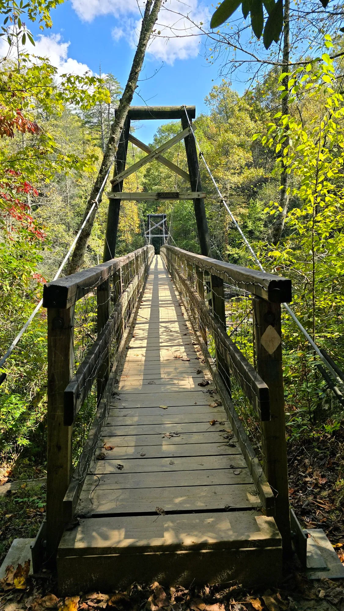
- Camera
- Samsung Galaxy S24 Ultra
- Focal
- 23 mm eq.
- Aperture
- f/1.7
- Shutter
- 1/338
- ISO
- 12
- Taken
- 2:02 PM
- Sunrise
- 387 min after
- Colour index
- 41.8
What the Watch Saw
The Numbers
1.43 miDistance
152 ftElevation Gain100 ft loss
38mMoving Time26:34 /mi
45mElapsed1:32 PM to 2:17 PM
1,876 ftHigh Pointlow 1,722 ft
7:35 AMSunrisecivil dawn 7:10 AM
Elevation from the watch: the watch's elevation was GPS-derived and noisy that morning (steps up to 7.85 m between seconds), so it was smoothed over a minute and only climbs over 5 m count. Moving time drops stretches under 1 km/h.
Where It Went
Route and Profile
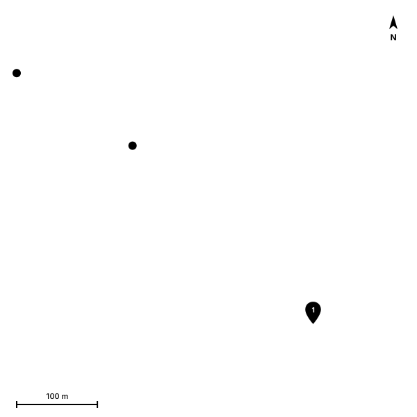
2,043 GPS points, drawn from 295 of them. Pins mark where the photos were taken.
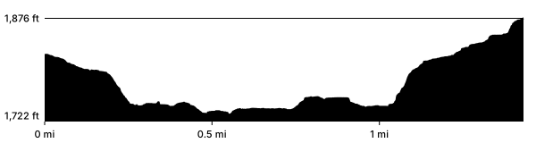
Elevation in feet against distance in miles. The dashed line is where the track was at sunrise.
At Sunrise
Conditions at Sunrise
59°FTemperature
0%Cloud coverclear
2 mphWindgusts 4
94%Humiditydew point 58°F
946 hPaPressure
Low 0%
Mid 0%
High 0%
Open-Meteo archive (ERA5 and IFS analysis), 8:00 AM.