
In May 2024 I was hired to photograph an organization’s outing on an Alaska cruise: seven nights on Norwegian Bliss out of Seattle. Four of us turned the job into eleven days. We flew in three days early, rented a car, drove to Vancouver by the scenic road and came back down the same way for the ship.
This is that trip in the order it happened. The clock and the place at each step come from the phone, which tagged most of its frames with a position and every one with a time, and from the ship’s daily program. Memory had put the glacier in the wrong fjord, Juneau after the glacier instead of before it, and Vancouver a night longer than it was. The geotags did not.
By the Numbers
The Trip
The ship was Norwegian Bliss of Norwegian Cruise Line, built 2018 by Meyer Werft, Papenburg: 1,094 ft long, 168,028 gross tons, 4,002 guests at double occupancy and about 1,700 crew. Source.
Where It Went
The Route
Hover a dot for the place and the clock; click it to jump to that day.
Ports are the large dots, stops the orange ones, and every small gray dot is a frame the phone took between them, at sea or on the road. The ship's legs are drawn between recorded positions and are approximate; the drive is dashed. Coastline from Natural Earth.
Day by Day
Eleven Skies
One cell per day, filled with the sky color of the day's first photograph, the same rule the almanac uses. Click a cell to jump to that day.
- Wednesday, May 22 Atlanta to Vancouver by Chuckanut Drive
- Thursday, May 23 Stanley Park on Foot
- Friday, May 24 Back Across the Border
- Saturday, May 25 Seattle, Then the Ship
- Sunday, May 26 A Day at Sea
- Monday, May 27 Sitka
- Tuesday, May 28 Juneau, Then Endicott Arm
- Wednesday, May 29 Icy Strait Point and Hoonah
- Thursday, May 30 Ketchikan in the Rain
- Friday, May 31 Victoria After Dark
- Saturday, June 1 Back to Seattle
/ Seattle to Richmond, British Columbia
Atlanta to Vancouver by Chuckanut Drive
- Seattle-Tacoma airport
- Chuckanut Drive over Samish Bay
- Richmond, British Columbia
- Coal Harbour, the Stanley Park entrance
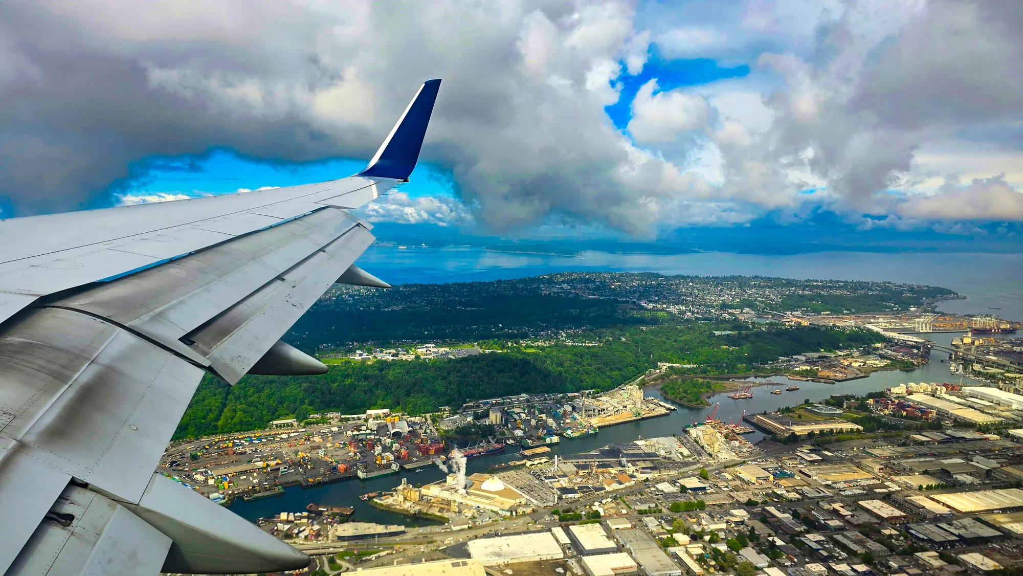
At Atlanta’s airport at half past six in the morning, in Seattle at 11:03, and straight into a rental car. The scenic way north is Chuckanut Drive, a two-lane road cut into the hillside above Samish Bay, and we stopped at its pullouts. This is the bay I could not name when I first wrote the trip down. The phone knew: 2:52 pm, on the cliff road, looking west over the water toward the San Juan Islands.
Across the border at the Peace Arch and into Richmond, just south of Vancouver, for the first night. By nine in the evening we were on the Coal Harbour seawall at the edge of Stanley Park, looking up at the towers.
/ Vancouver, British Columbia
Stanley Park on Foot
- Brockton Point
- Prospect Point
- Siwash Rock
- Lost Lagoon
- Coal Harbour
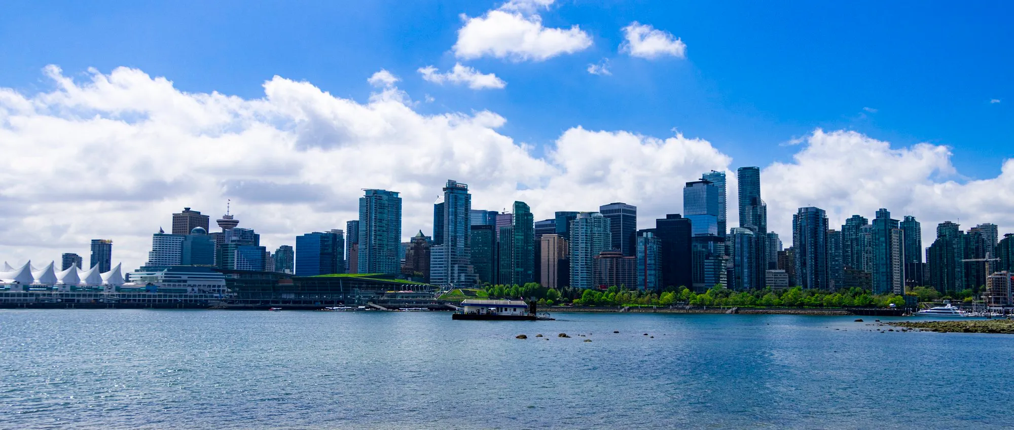
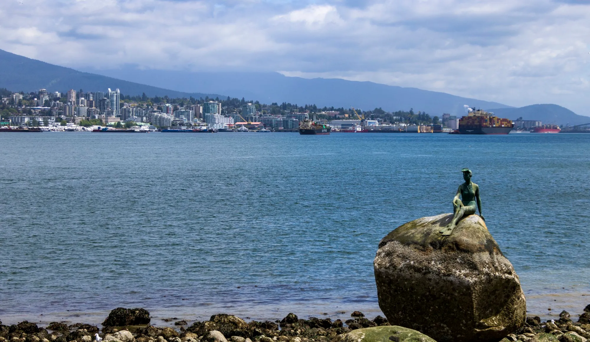
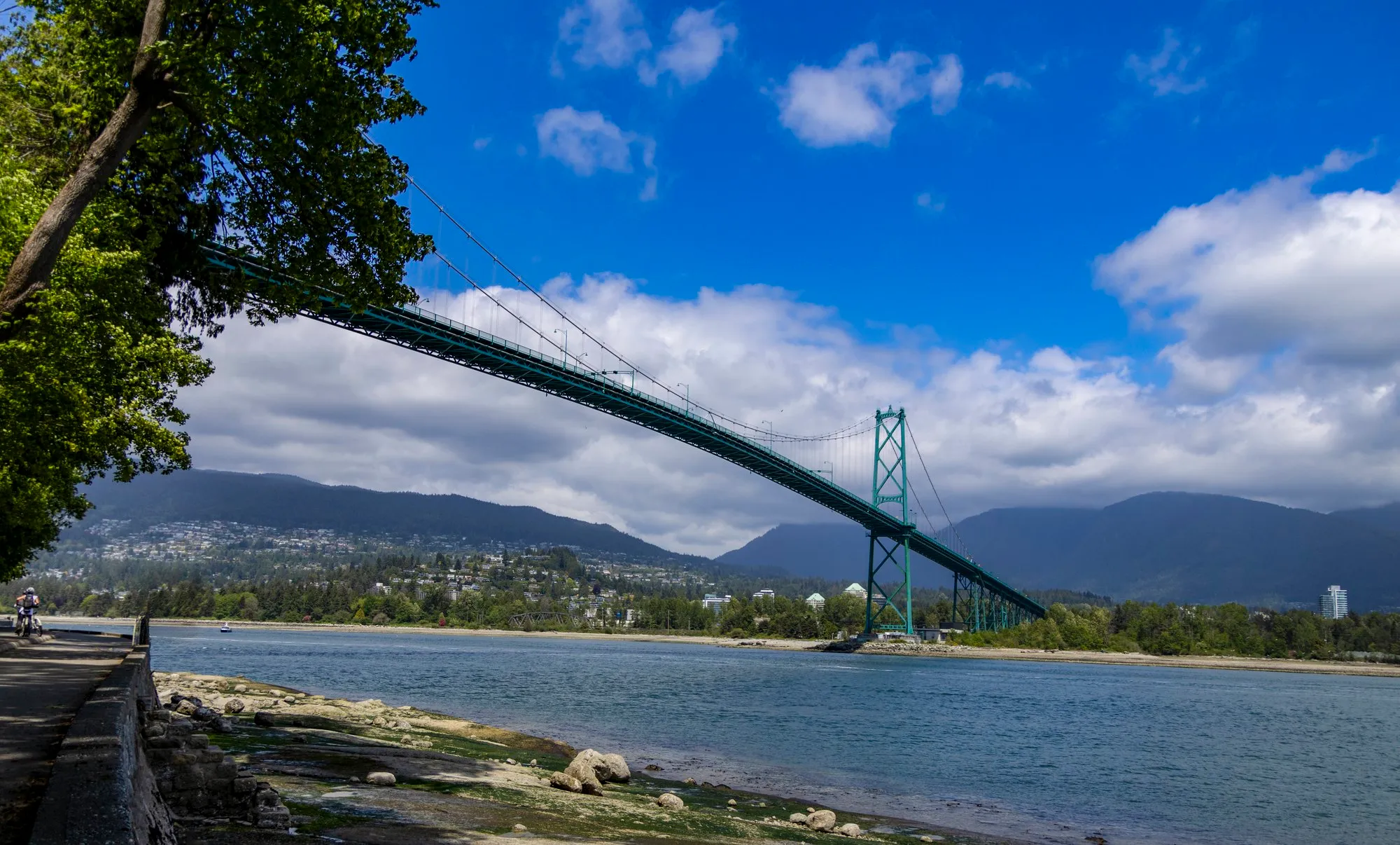
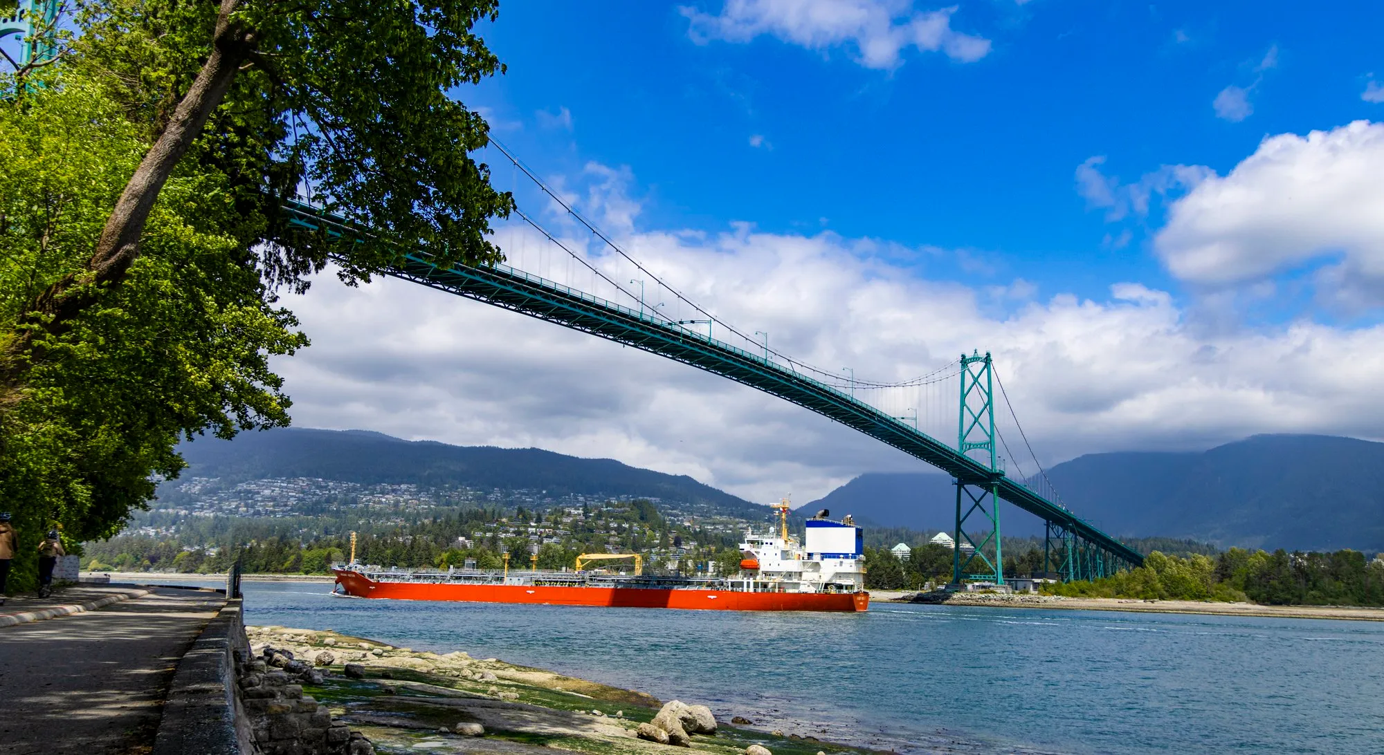
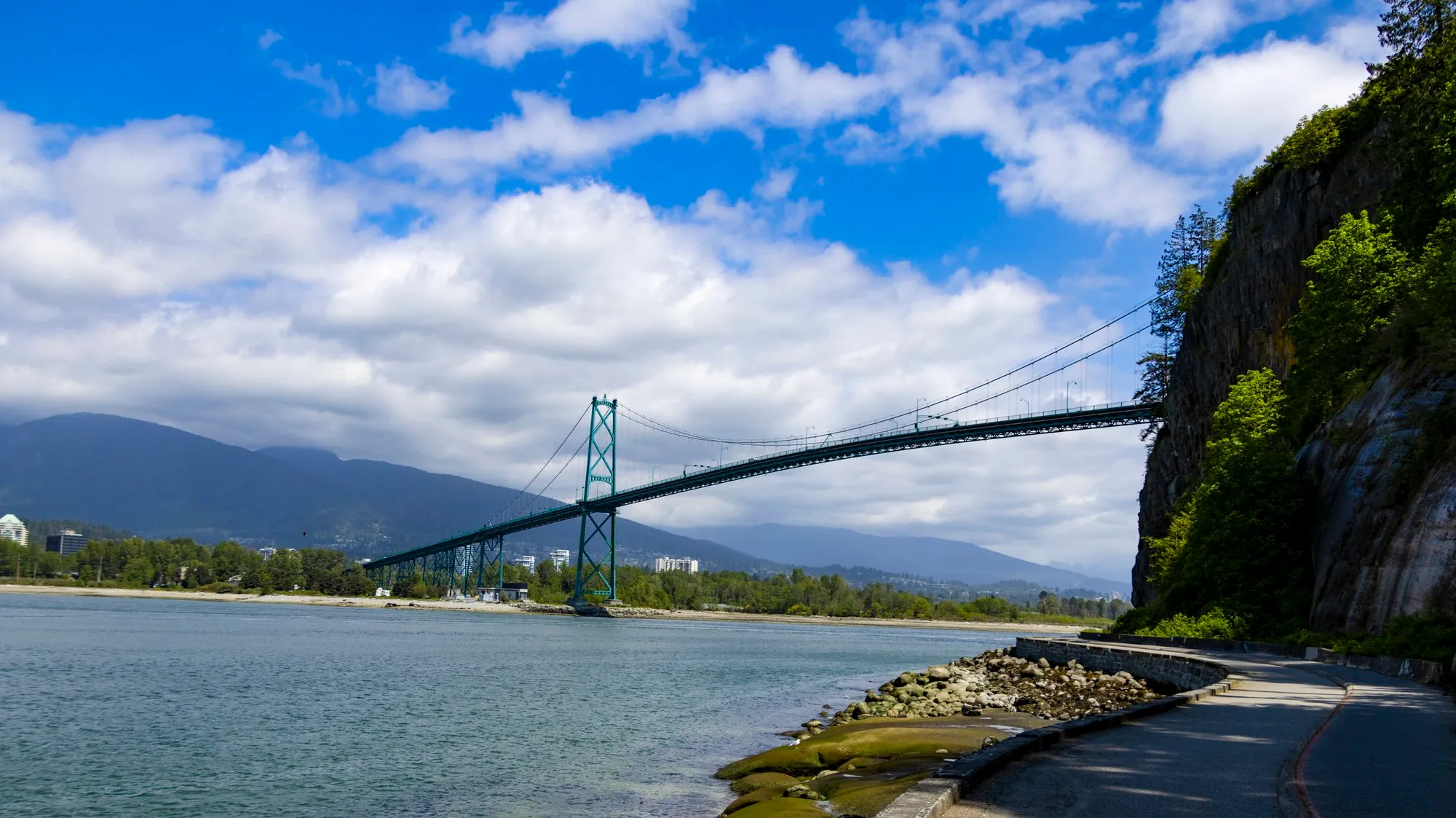
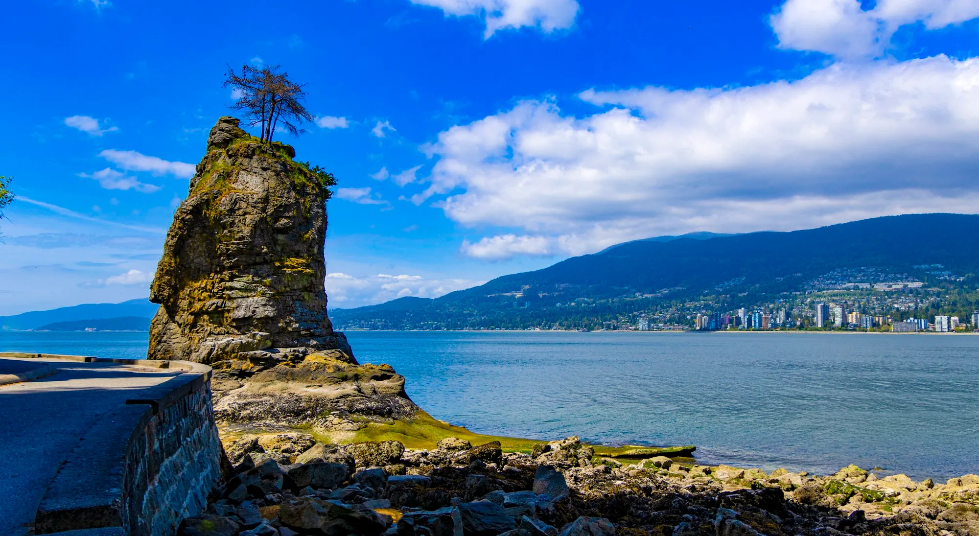
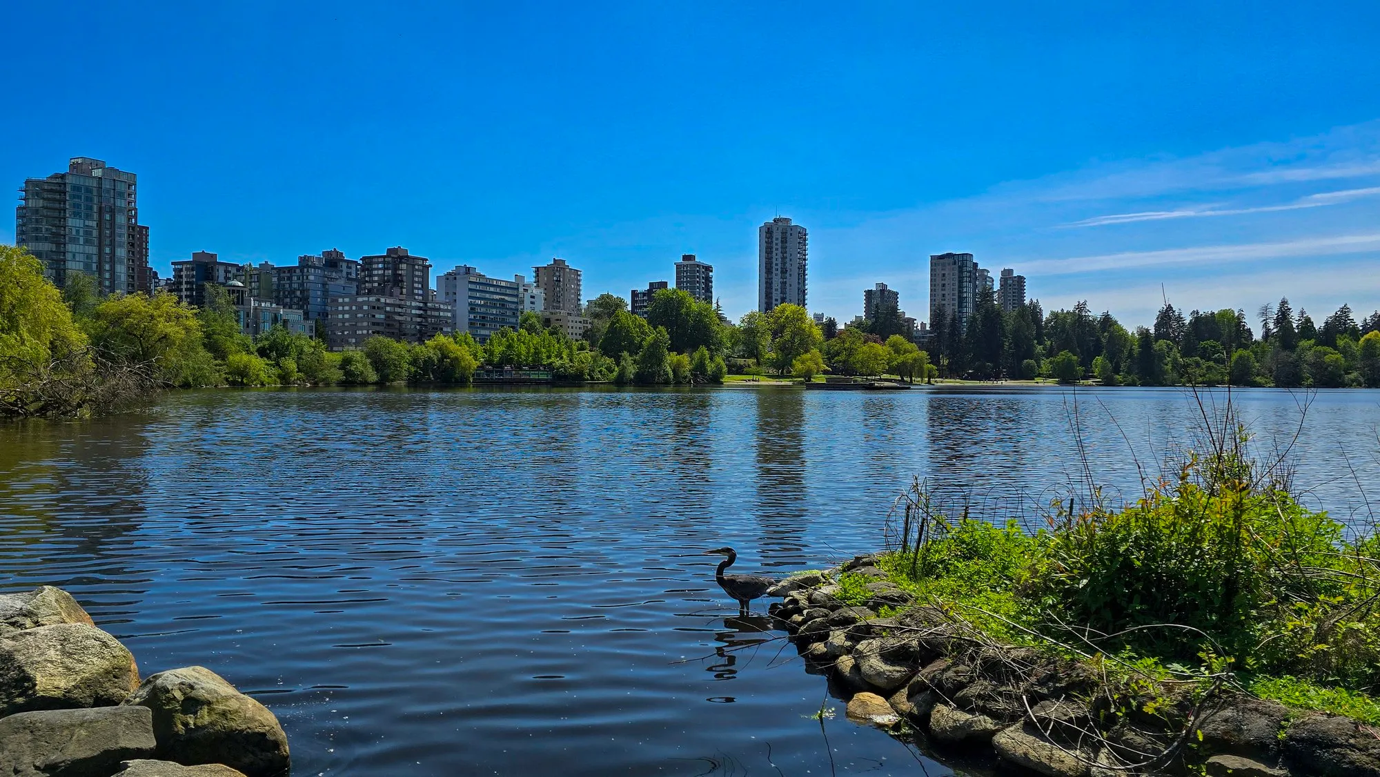
Stanley Park is not an island, whatever my notes said. It is a 1,000-acre peninsula on the end of downtown with a 5.5-mile seawall around it, and I walked most of the seawall. The phone puts me at Brockton Point at 12:21, among the totem poles, with the skyline across the water on one side and the North Shore mountains on the other. At 1:25 I was at Prospect Point under the Lions Gate Bridge, and a freighter came through under it while I stood there. By 1:52 I was at Siwash Rock, the sea stack on the western side, where the view opens toward the Strait of Georgia. At 2:42 I was on the bank of Lost Lagoon, the lake inside the park with a heron on its islet and the West End towers behind it. That is the lake with an island in it that I remembered.
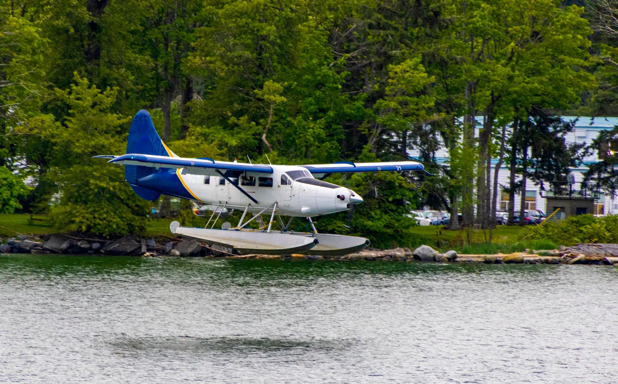
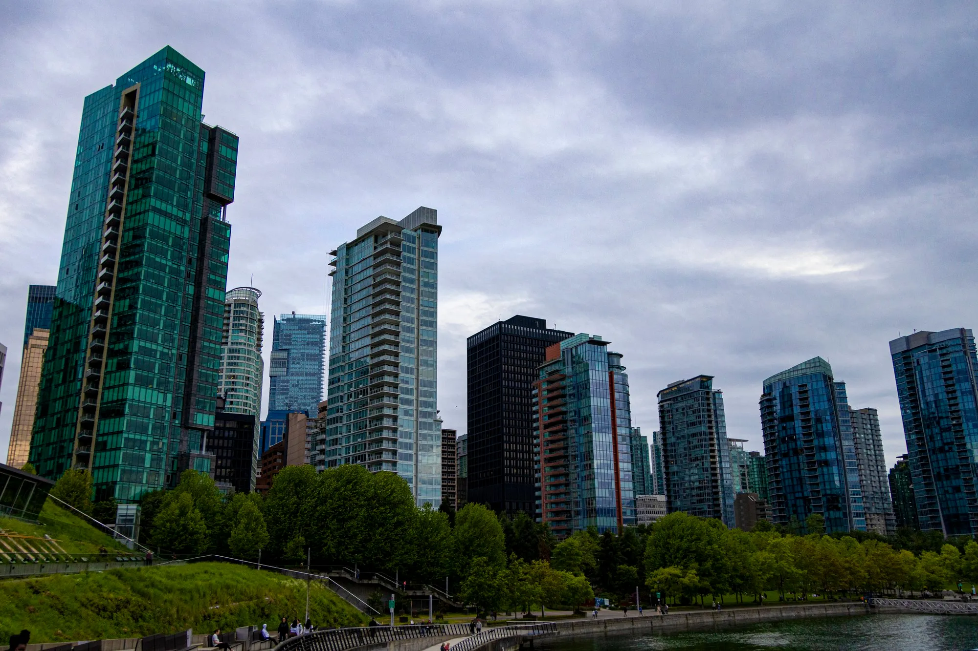
The step counter made it about 31,500 steps, the most of any day the chart shows. The evening went to Coal Harbour again, from half past seven until nearly nine, for the glass. Vancouver’s towers are glazed in a sea green that photographs well from a distance, and the floatplanes come and go from the dock below them.

Where the phone's frames were taken along the seawall, Brockton Point to Third Beach, joined in the order they were shot. A trace of the photographs, not a recorded track. 45 frames; the numbered pins are the photographs below.
/ Vancouver to Seattle
Back Across the Border
- Downtown Vancouver
- Peace Arch, the border crossing
- Boulevard Park, Bellingham
- Space Needle
- Olympic Sculpture Park and the waterfront
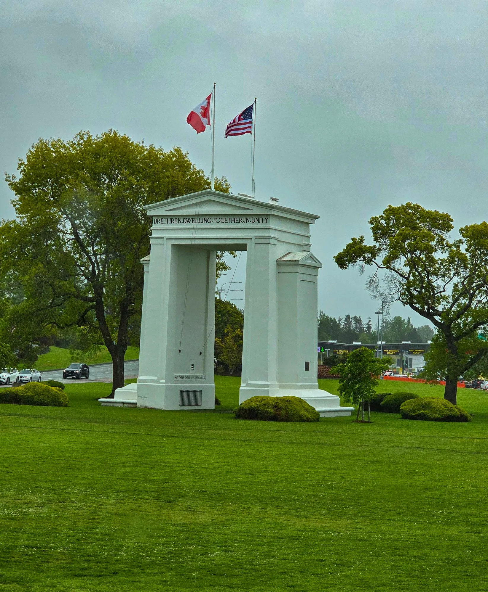
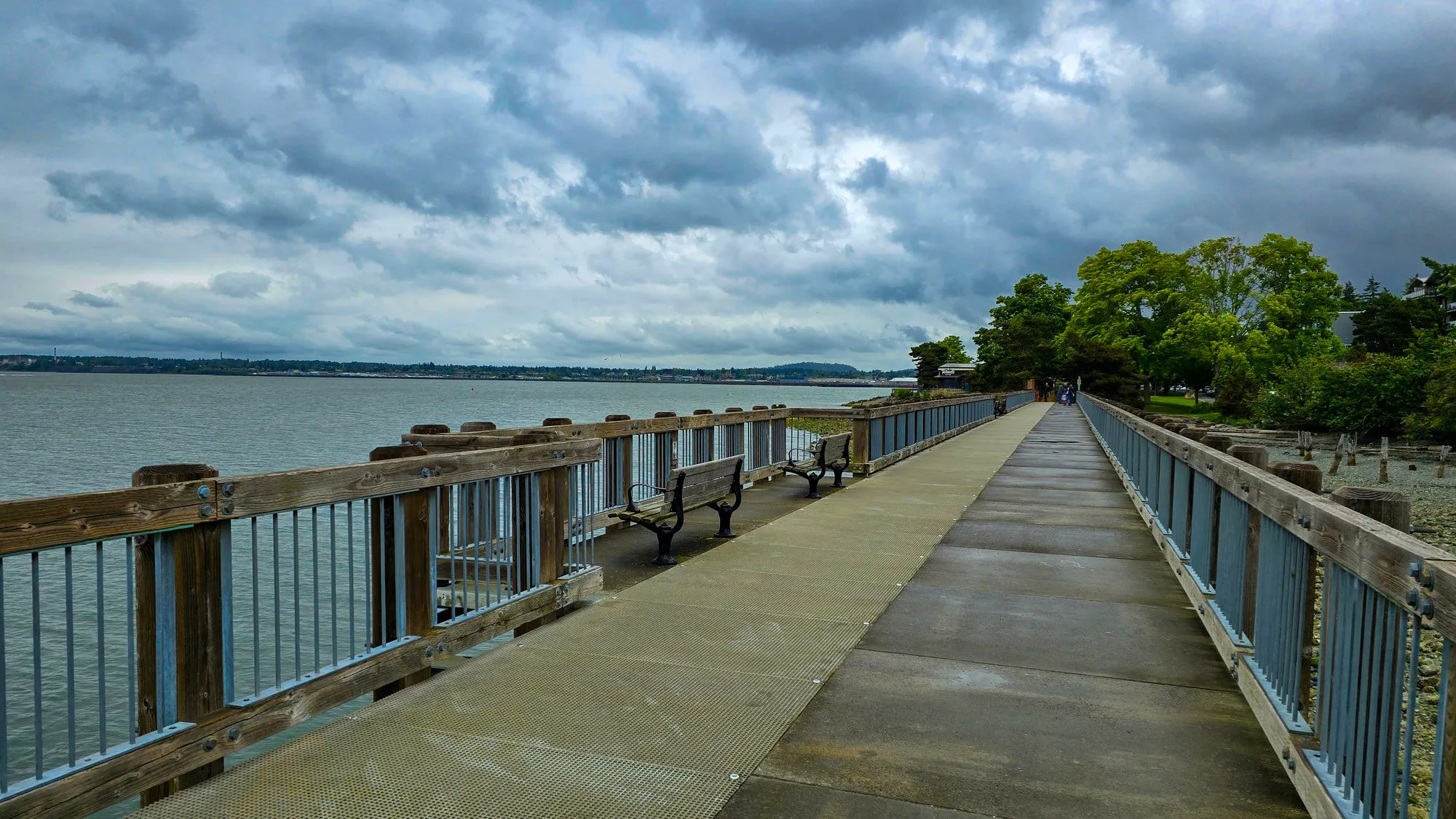
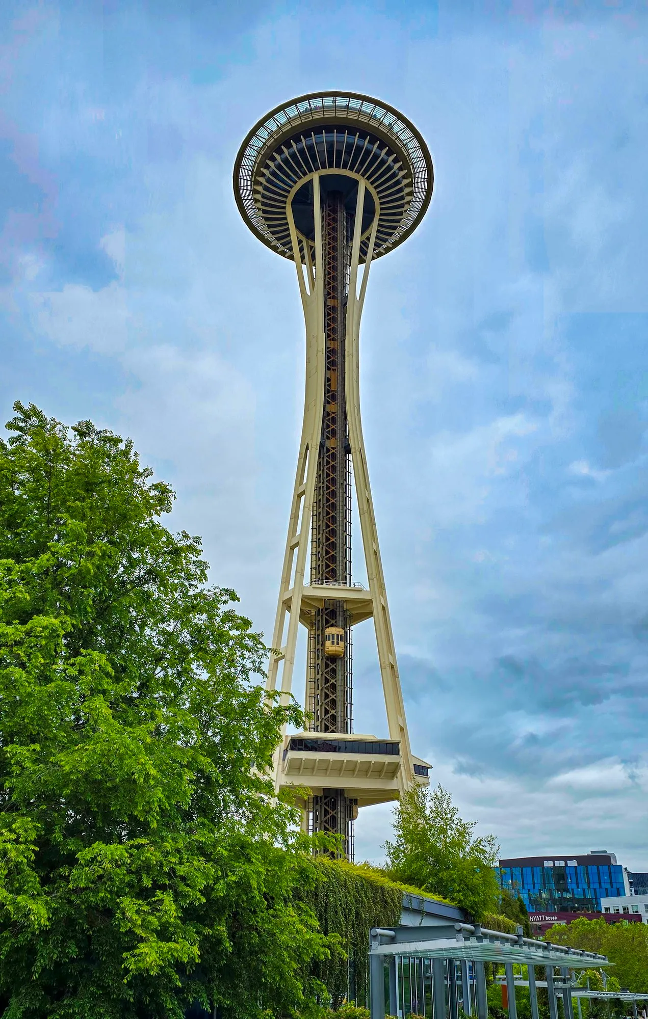
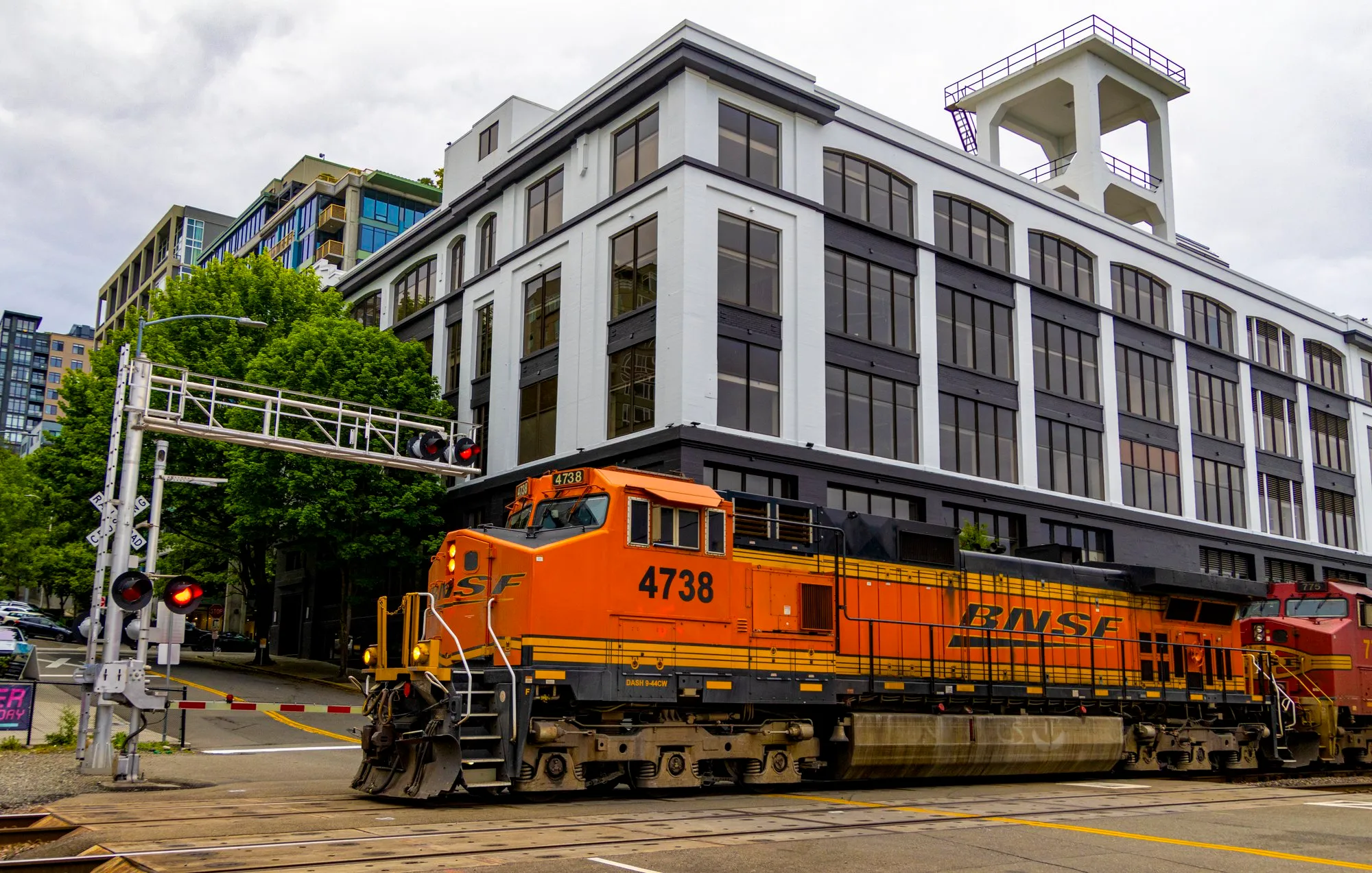
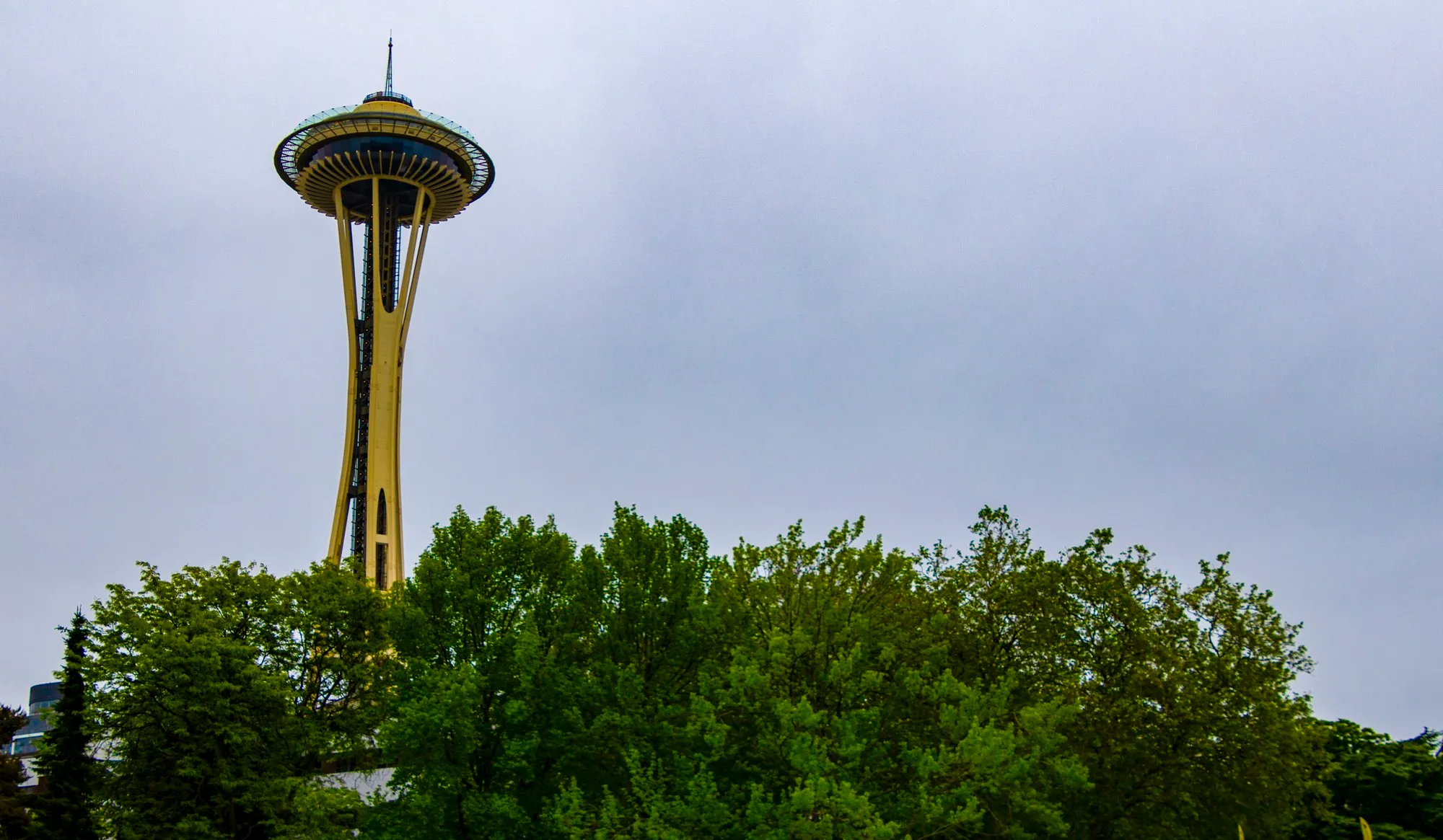
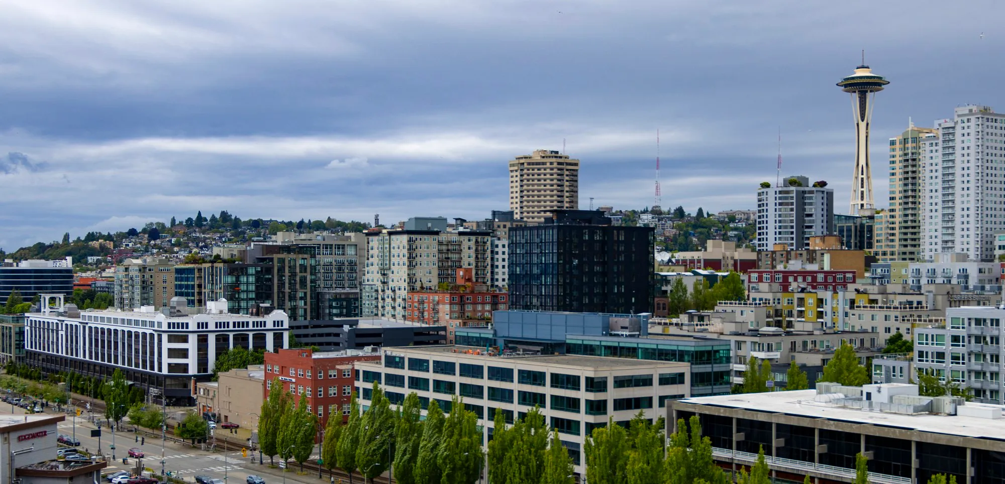
We left downtown Vancouver late in the morning and were at the Peace Arch at noon. Bellingham was the stop on the way down: Boulevard Park, a boardwalk out over Bellingham Bay, one of the almost-seaside parks I had a vague memory of. It rained on and off. Seattle by the middle of the afternoon: the Space Needle at 4:43 under a gray sky, then the waterfront and the Olympic Sculpture Park until nearly six. The night was at a hotel near the airport.
/ Seattle
Seattle, Then the Ship
- Seattle Center
- Kerry Park
- Pike Place Market
- Pier 66, boarding
- Admiralty Inlet
- Strait of Juan de Fuca off Port Angeles
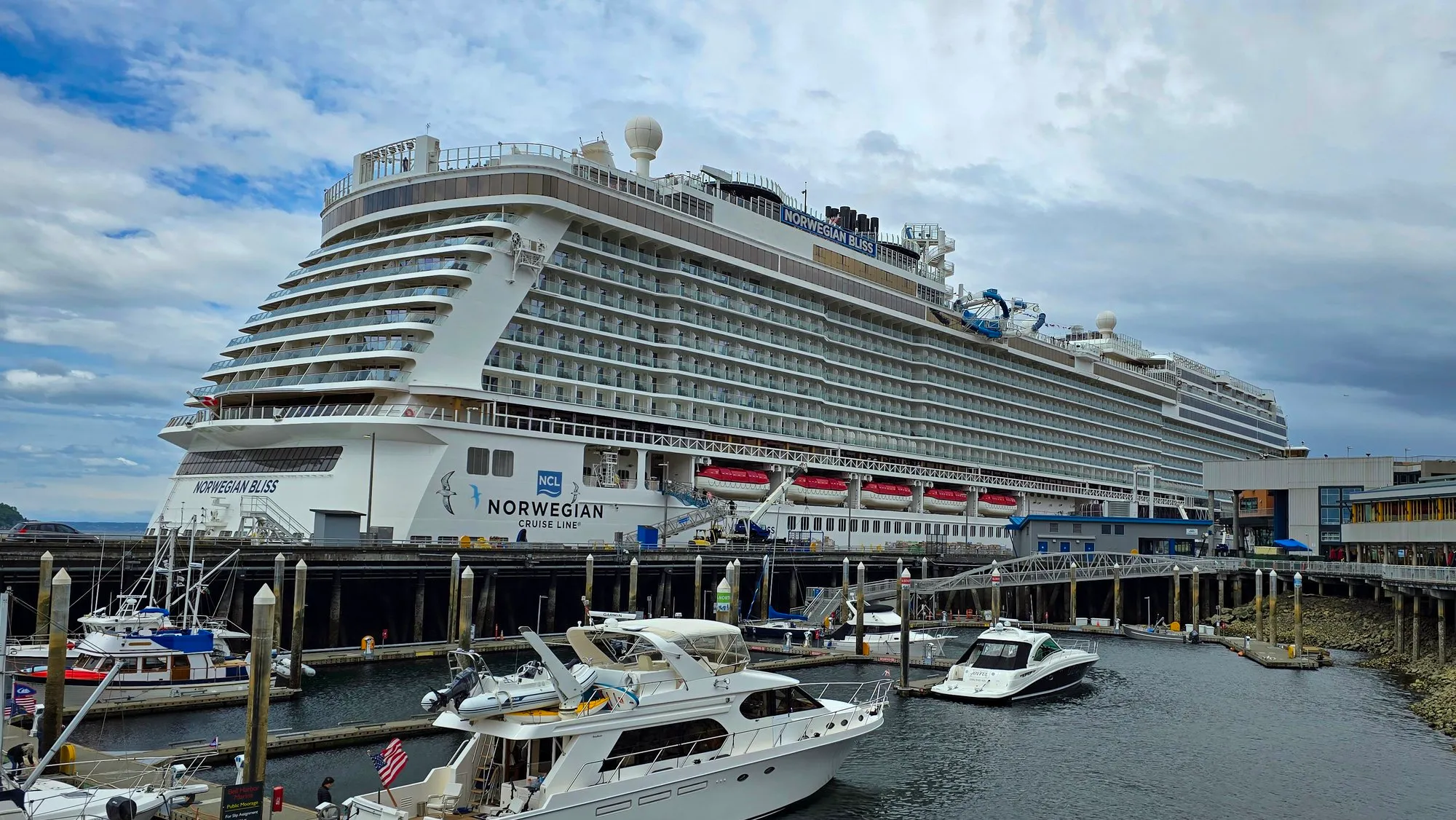
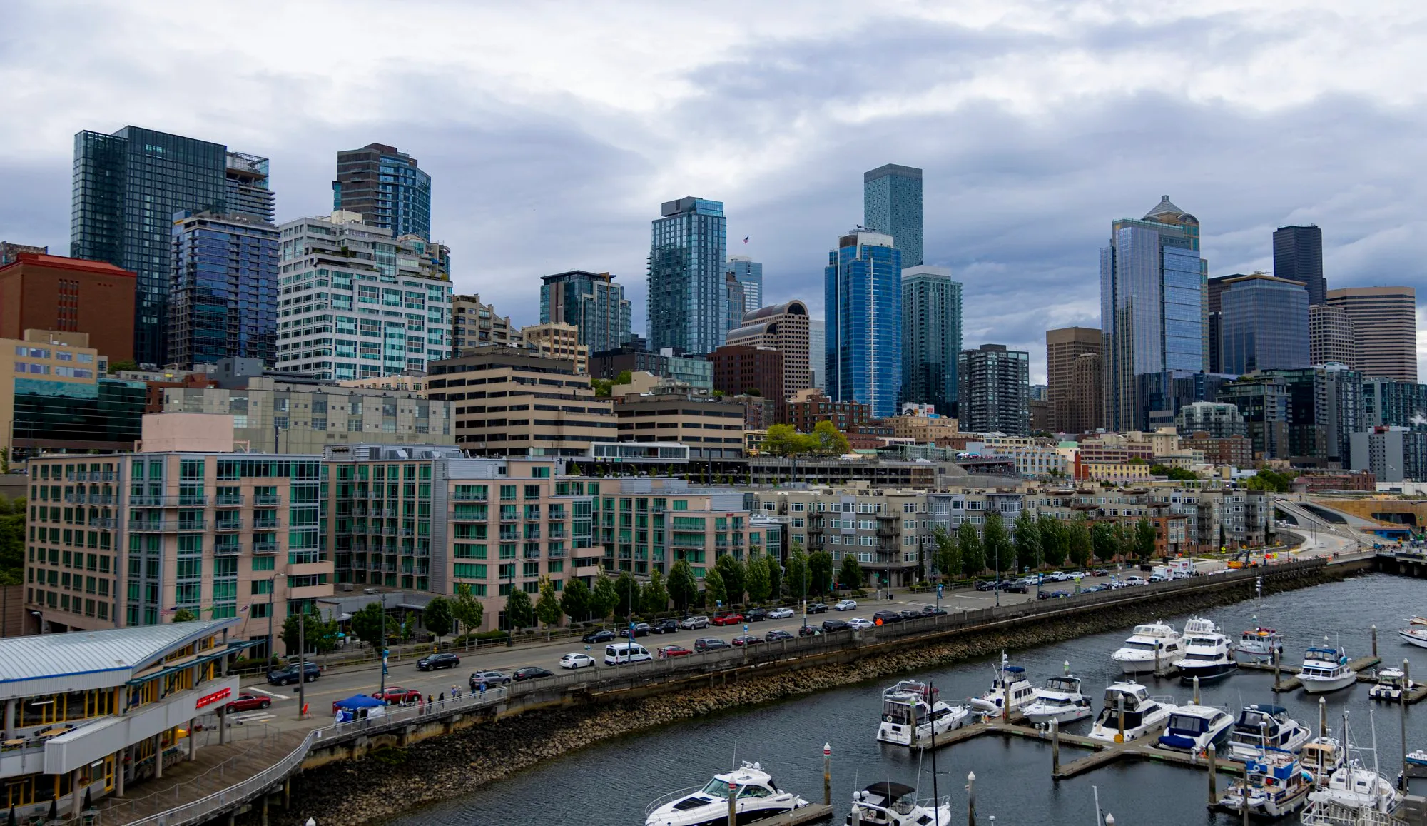
Boarding was in the afternoon, so the morning was Seattle on foot. Seattle Center from 7:14, then up Queen Anne hill to Kerry Park by nine, the viewpoint every postcard of the Space Needle is taken from. Pike Place Market at a quarter past twelve. By half past twelve we were looking at the ship from the marina at Pier 66, and boarding started after two.
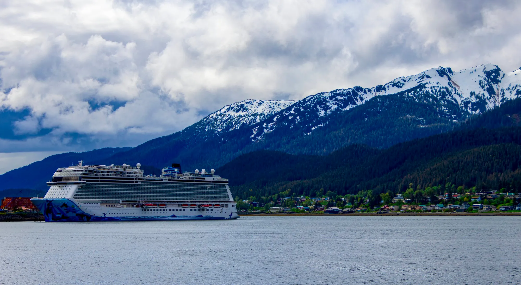
I had not been on a cruise ship in about fifteen years, and that one was small. Norwegian Bliss is 1,094 feet long, carries about 4,000 guests at double occupancy and about 1,700 crew, and was built in 2018 for the Alaska run. It does not feel like a boat. It feels like a building that moves, and I wanted a tour of all of it, which would take a month.
We sailed at about five. At 6:59 pm the phone put us in Admiralty Inlet off Port Townsend, and at 10:24 pm, in the last of the light, in the Strait of Juan de Fuca off Port Angeles, heading for the open Pacific.
/ The Pacific side of Vancouver Island and Haida Gwaii
A Day at Sea
- Off Haida Gwaii
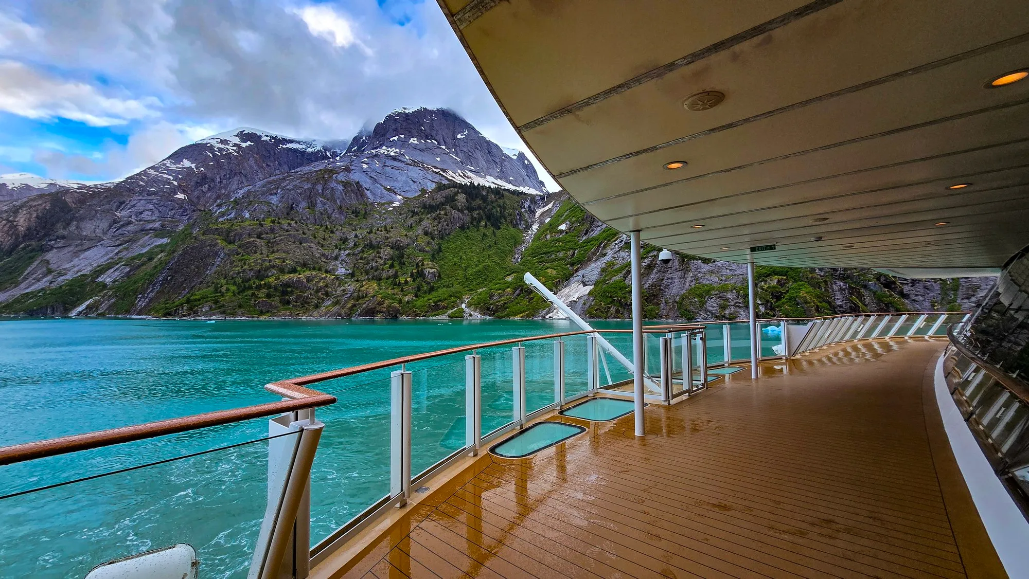
A full day at sea, up the outside of Vancouver Island. Between ports the ship had every activity a ship can have, and most of the time we played cards, a game I taught the others that stuck for the week. When the others went to their cabins I walked. The Waterfront, the open promenade that wraps the ship everywhere but the bow, has restaurant tables along it that would be full on a Mediterranean cruise and were empty here, even under the covered stretches, so I had it to myself. Two thousand steps to a lap, by the phone. The chart says about 12,000 steps for the day.
At 9:32 pm the phone recorded one position: 53.2 north, 133.2 west, in the Pacific west of Haida Gwaii.
/ Sitka, Alaska
Sitka
- At sea, 55 miles south of Sitka
- Sitka Sound Cruise Terminal, five miles north of town on Halibut Point Road
- Castle Hill
- Totem Trail, Sitka National Historical Park
- Back at the terminal
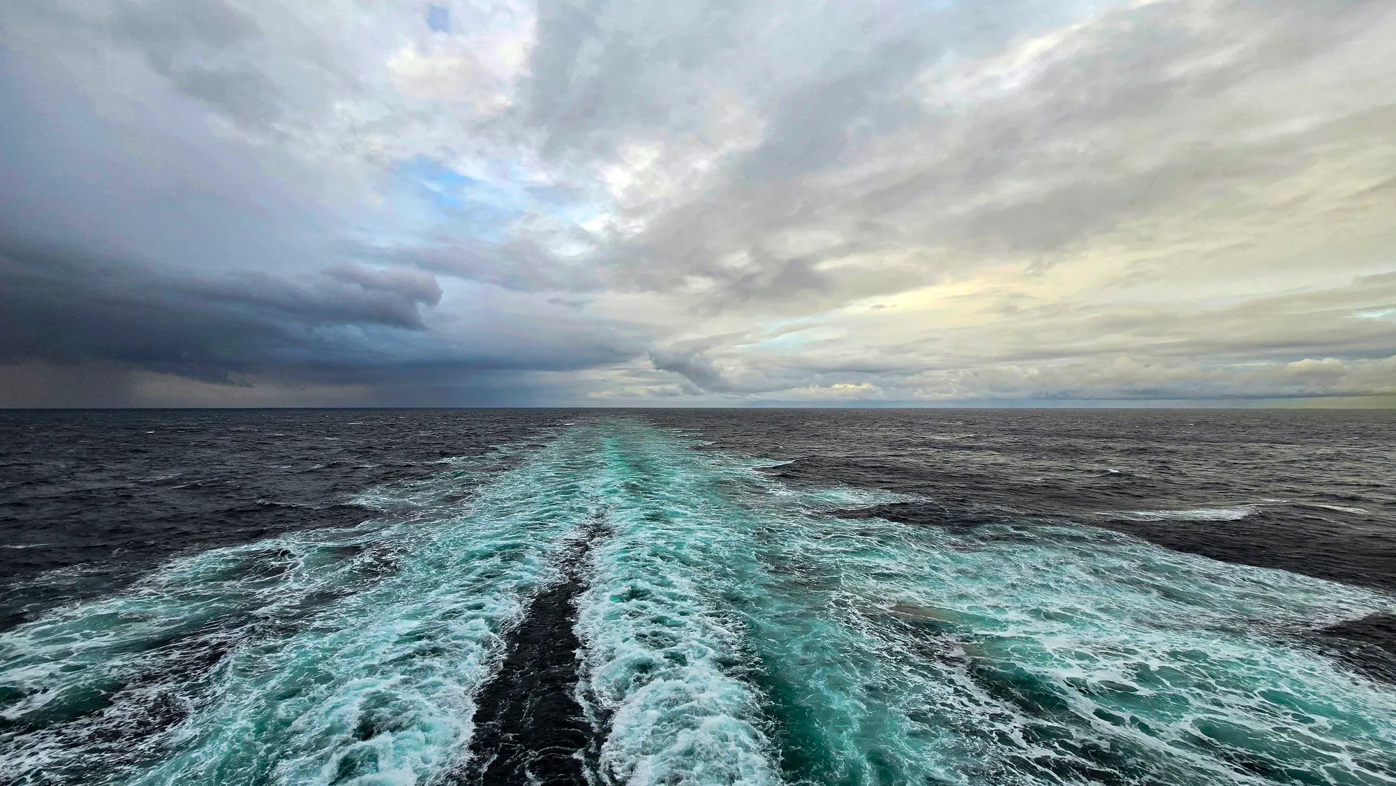
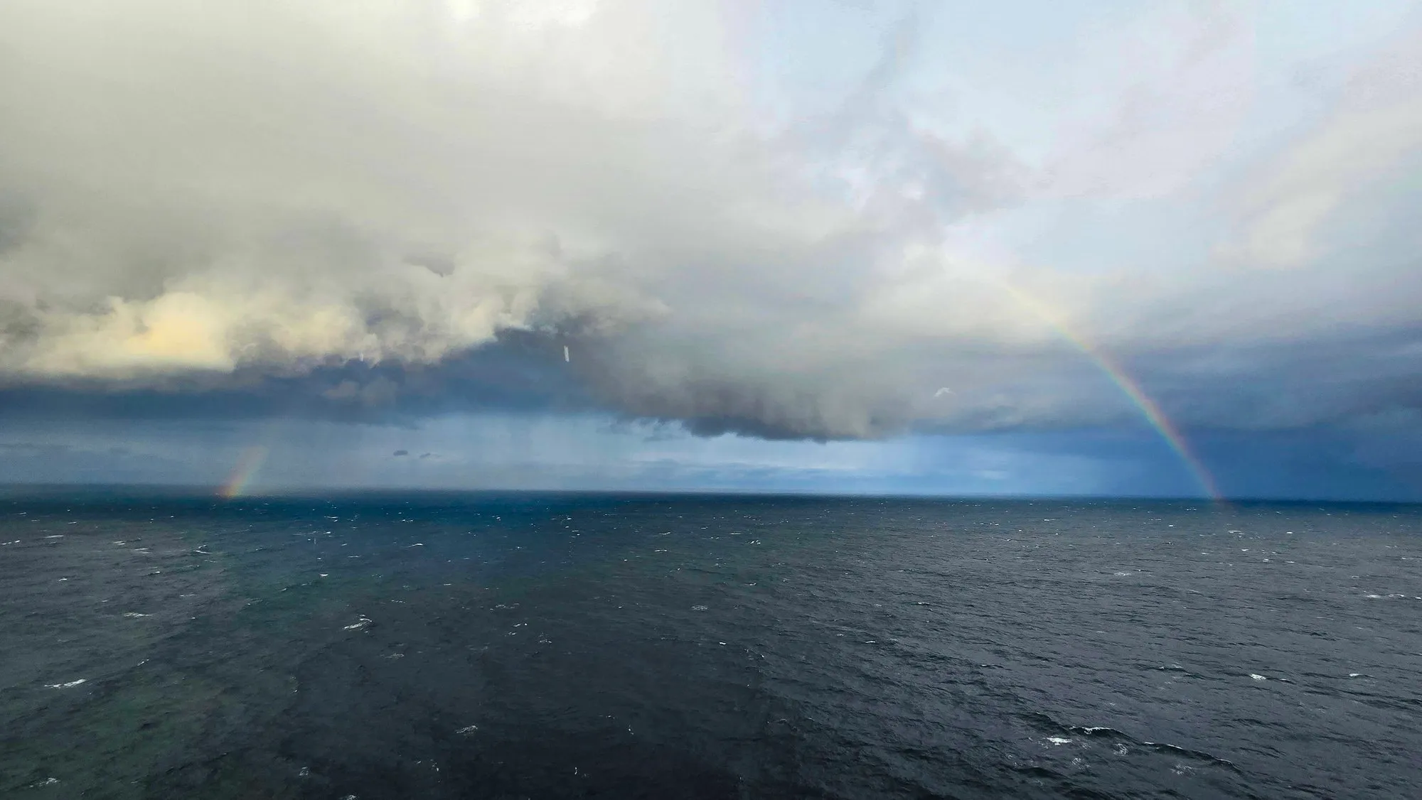
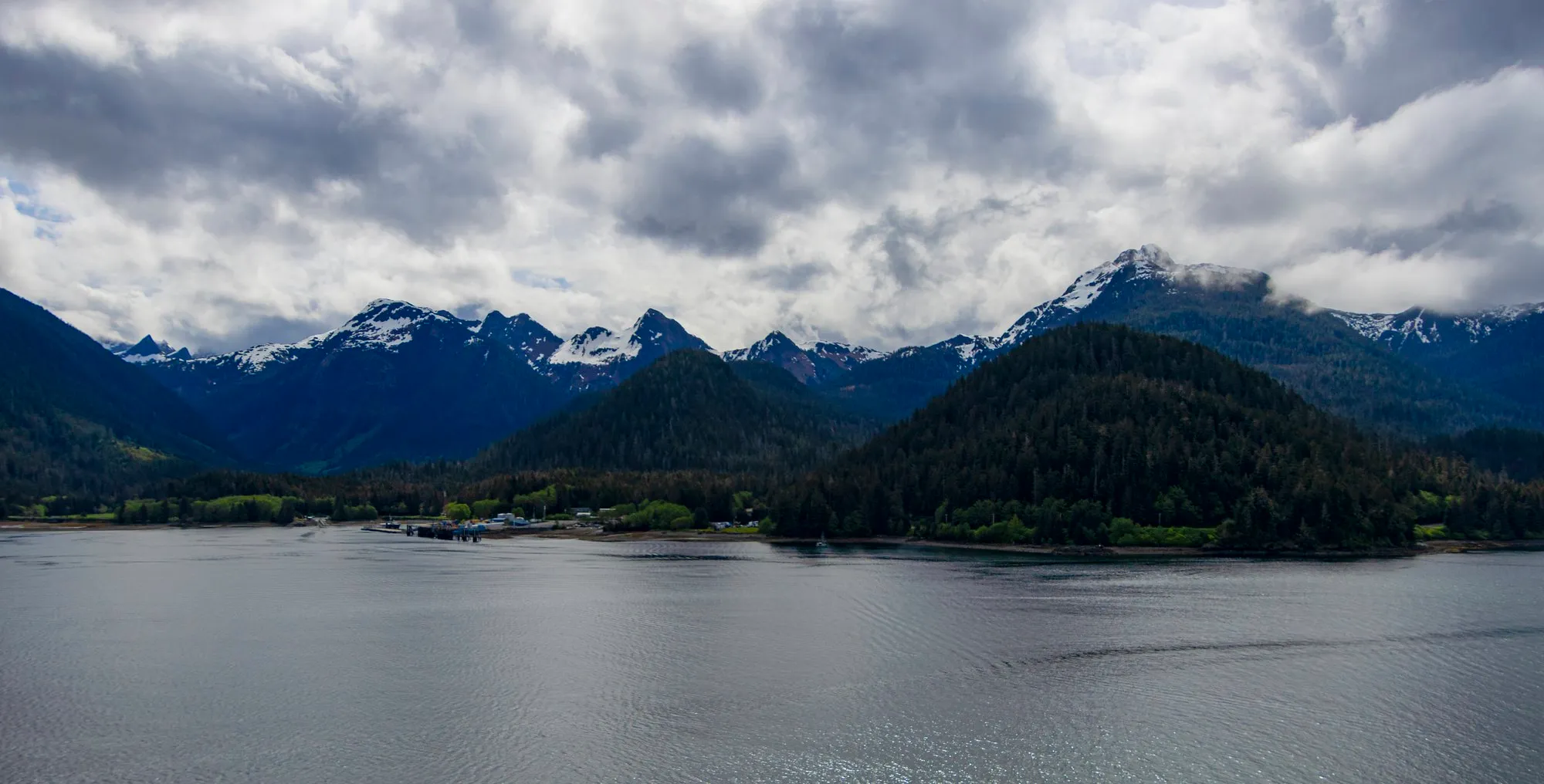
The first frames of the day are from 6:35 in the morning, 55 miles south of Sitka: a gray sea, the wake, then a squall with a rainbow in it. The ship docked at 10:30 at the Sitka Sound Cruise Terminal, five miles north of town on Halibut Point Road, with shuttles running in.
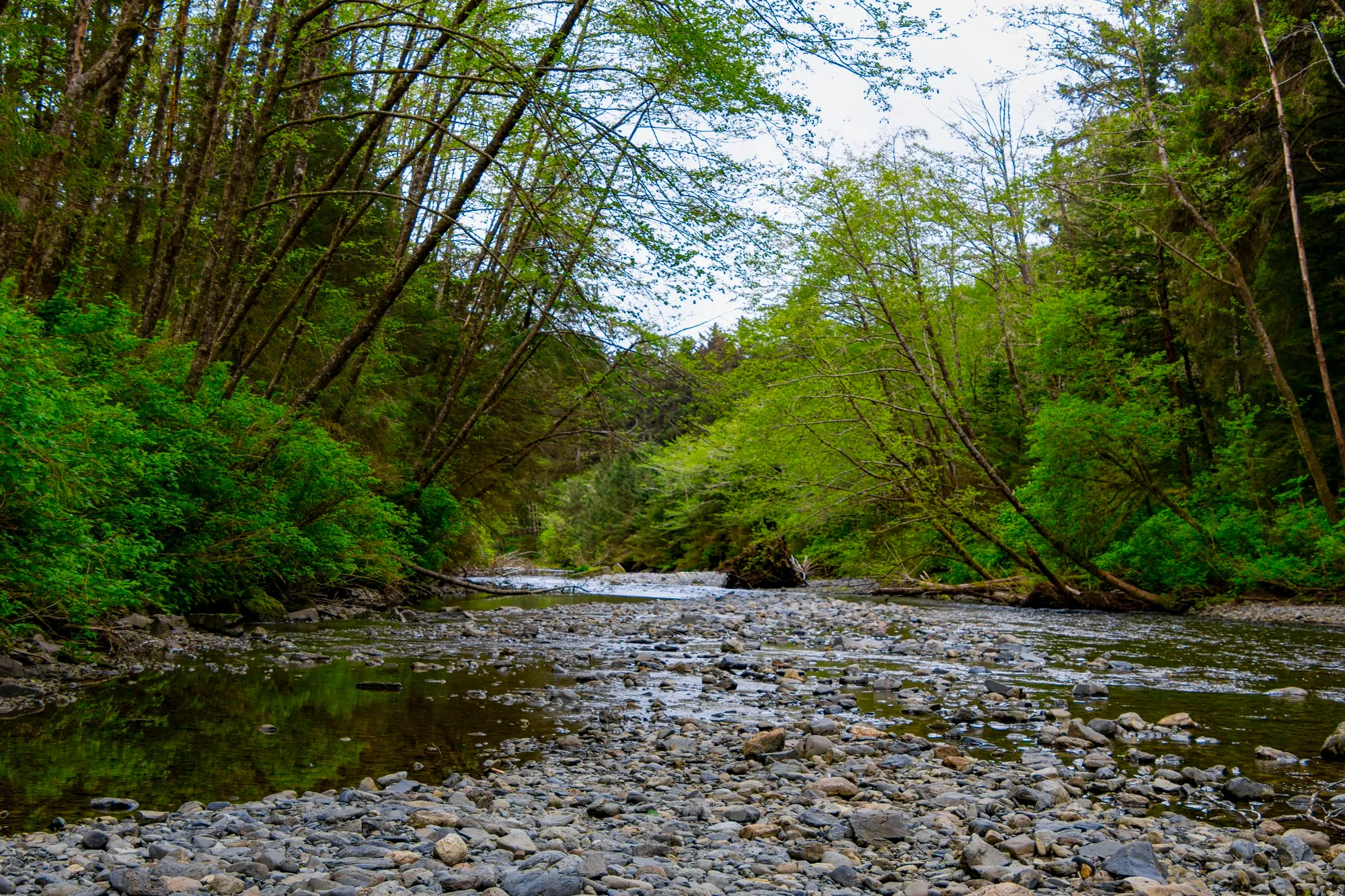
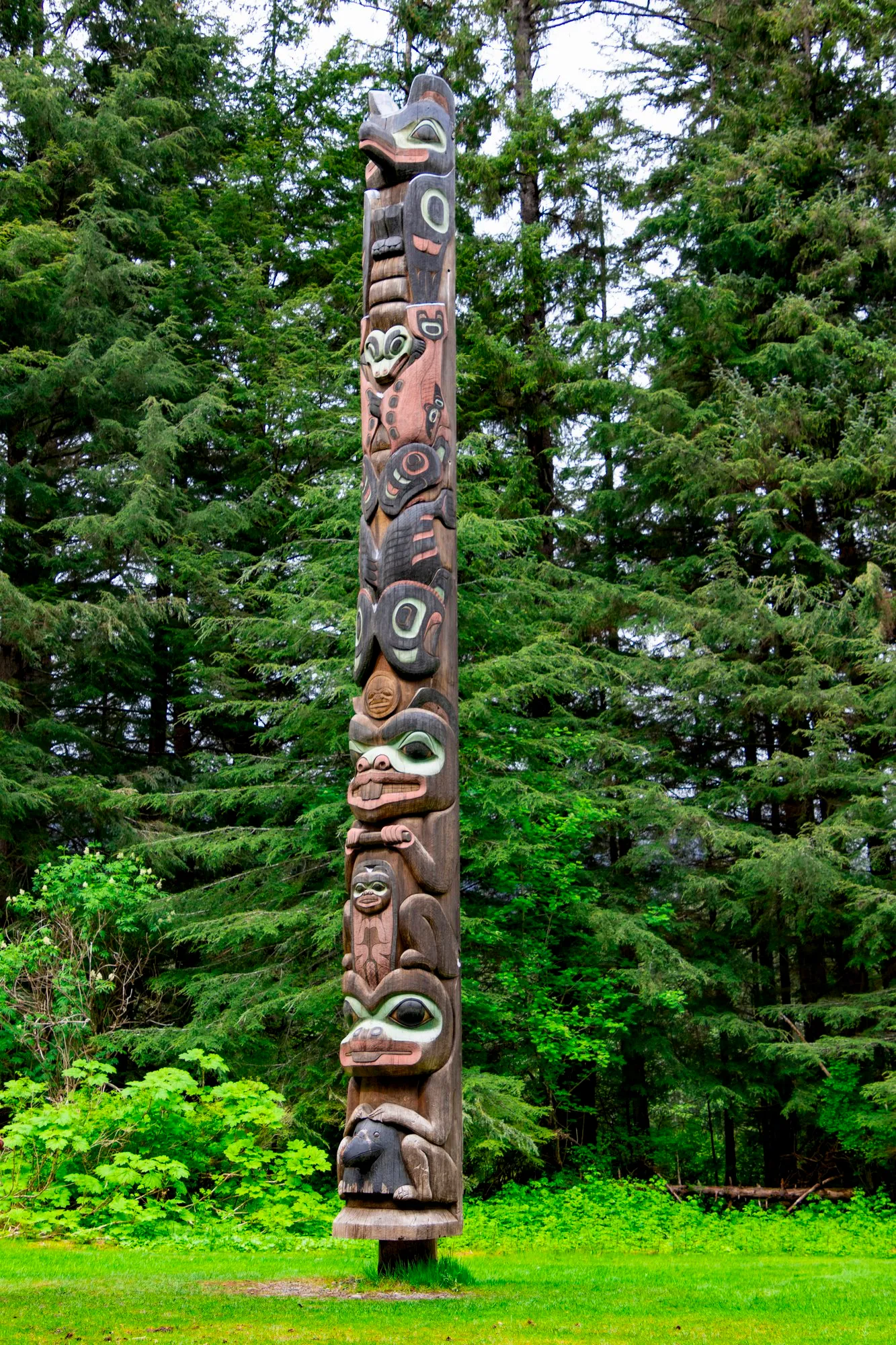
Sitka was the capital of Russian America, and the transfer of Alaska to the United States was carried out on Castle Hill on October 18, 1867. I was standing on it at 12:36. From 1:39 until nearly three I was on the Totem Trail in Sitka National Historical Park, a gravel path through big spruce with carved poles along it and the Indian River beside it. Many of the poles were gathered for the 1904 world’s fair in St. Louis and set up here after it.
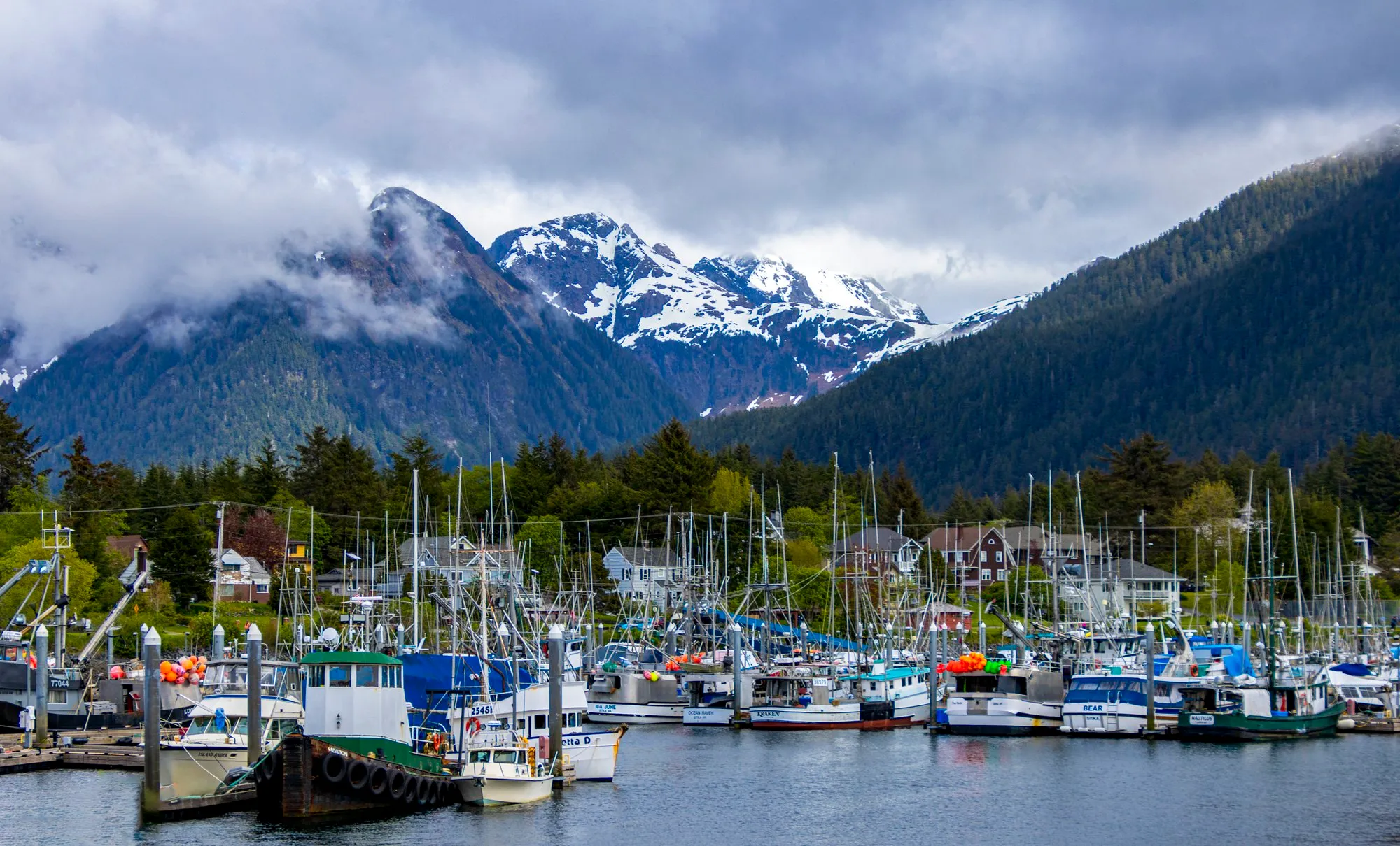
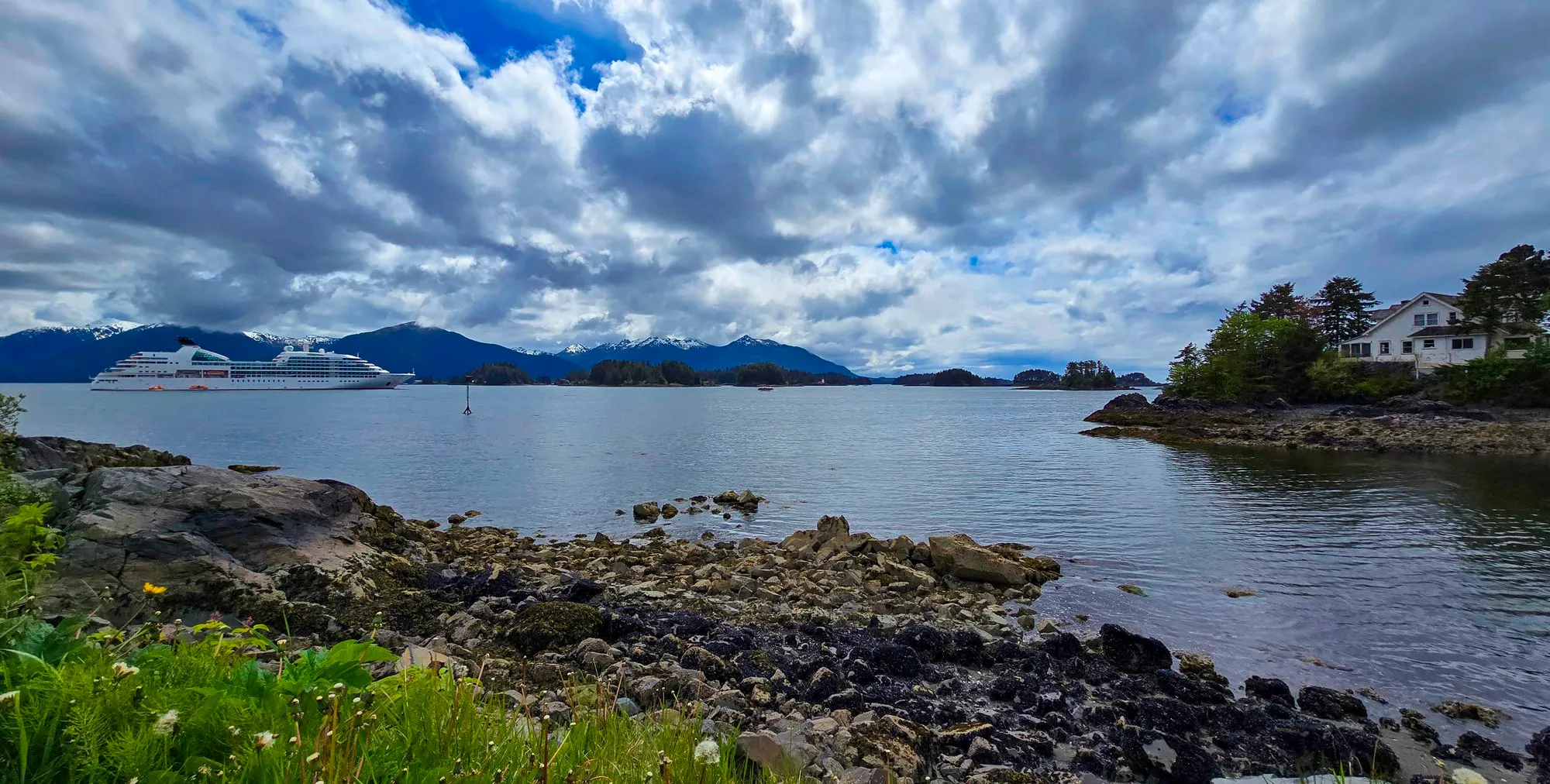
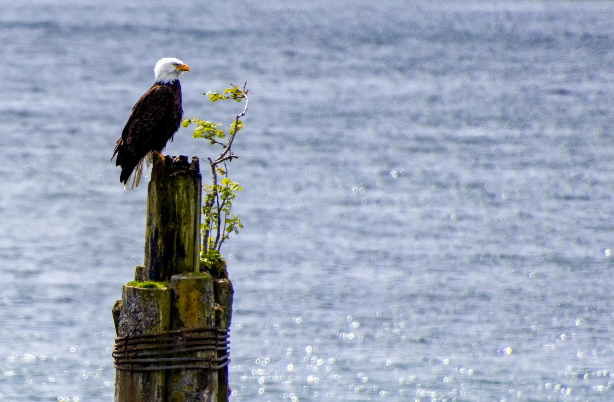
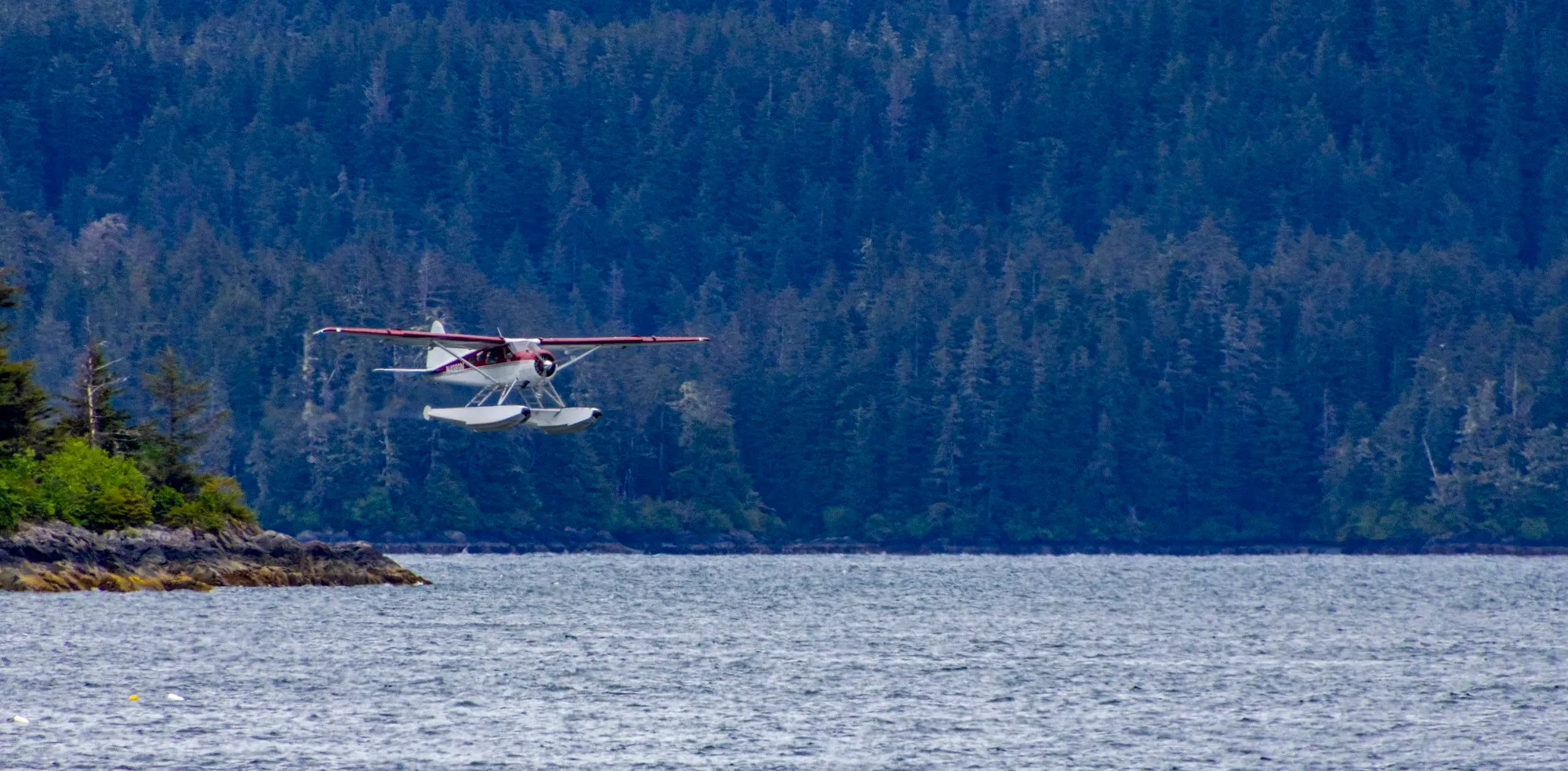
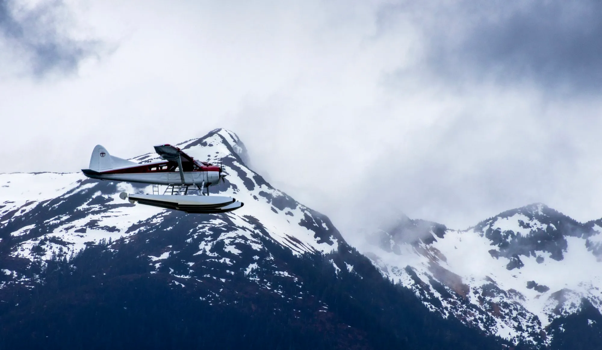
The panhandle is a rainforest, but not a tropical one. It is the Tongass, the largest national forest in the country at 16.7 million acres and the largest intact stretch of temperate rainforest anywhere, and the moss and the ferns are why it read as tropical in my notes. I was in shorts and a vest all week, which the locals noticed; more than one checked that I was actually a passenger. An eagle sat on a piling in the harbor, far enough out that it took the long end of the lens, 400 millimeters, to fill the frame. The best frames of the day were still the floatplanes, which take off and land in the channel all day. One crossed in front of the snow a long way off, and the lens at 246 millimeters brought it in. About 28,000 steps. Back at the terminal by 3:34; the ship left at six.
/ Juneau and Endicott Arm, Alaska
Juneau, Then Endicott Arm
- AJ Dock, Juneau
- Downtown Juneau
- The hill and Basin Road
- Stephens Passage
- Holkham Bay, the mouth of Endicott Arm
- Endicott Arm
- Dawes Glacier
- Endicott Arm, outbound
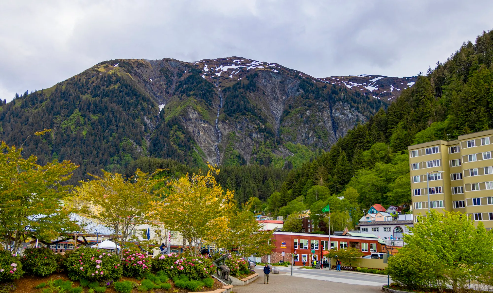
Docked at the AJ Dock at half past six, a five-minute shuttle from downtown by the ship’s daily program, which also gave the day’s sunrise as 4:06 and its sunset as 9:44, with a forecast of partly sunny and 48 degrees.
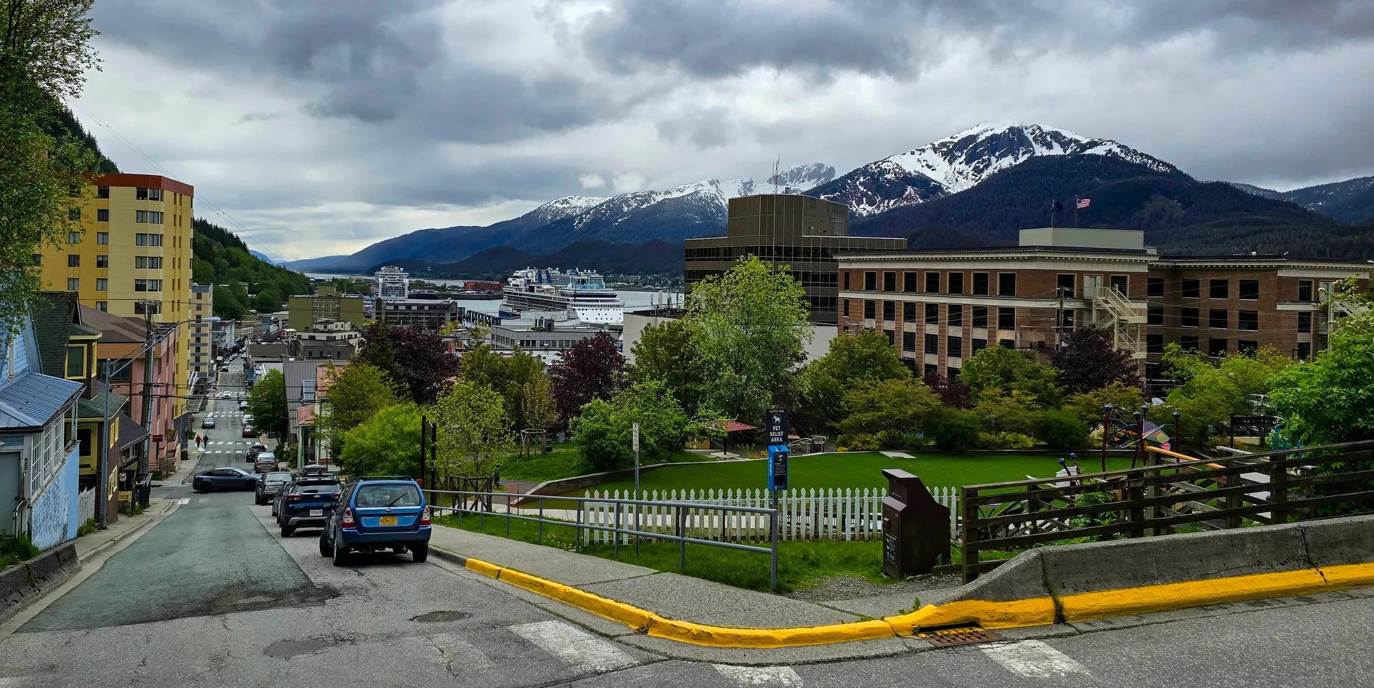
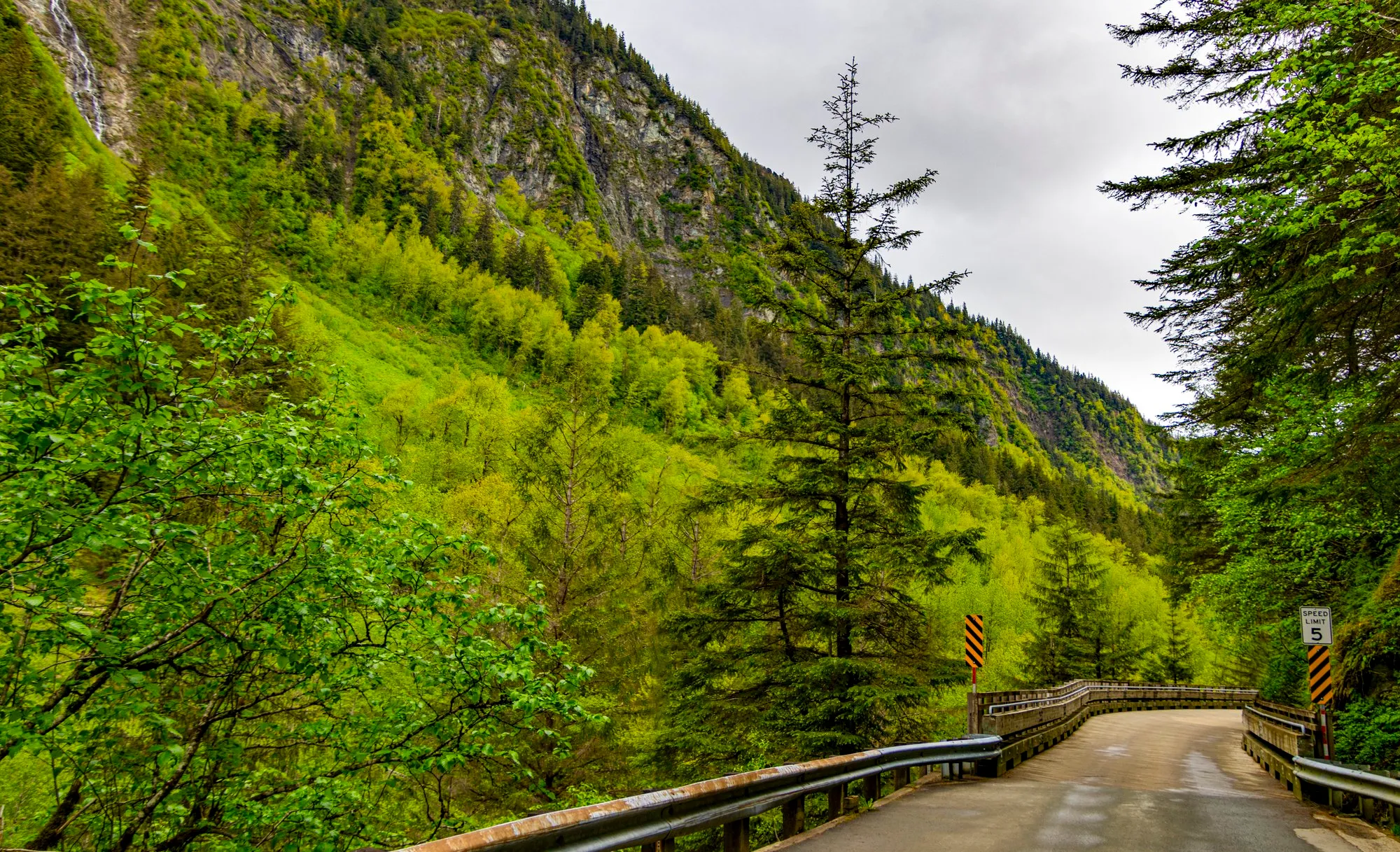
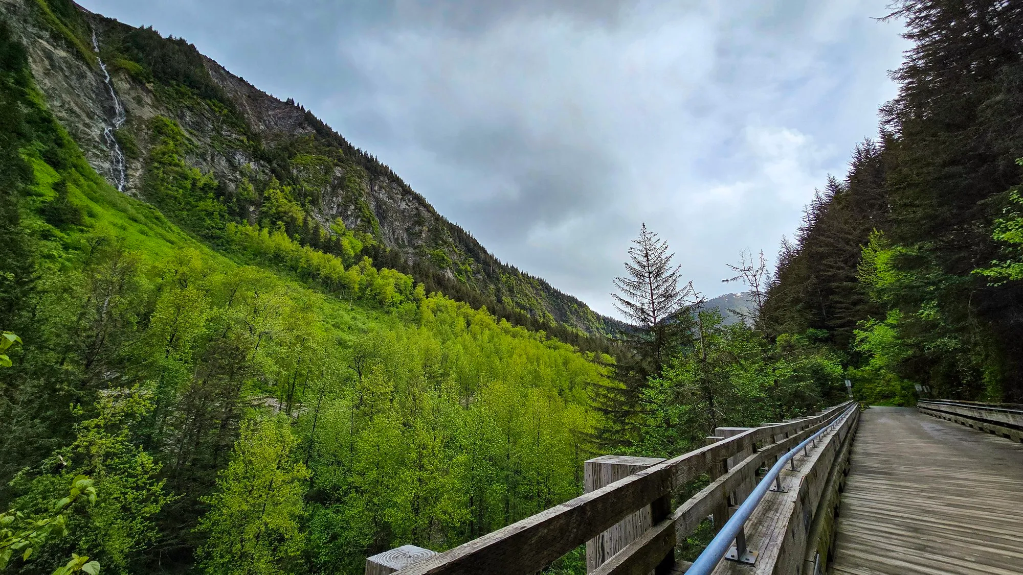
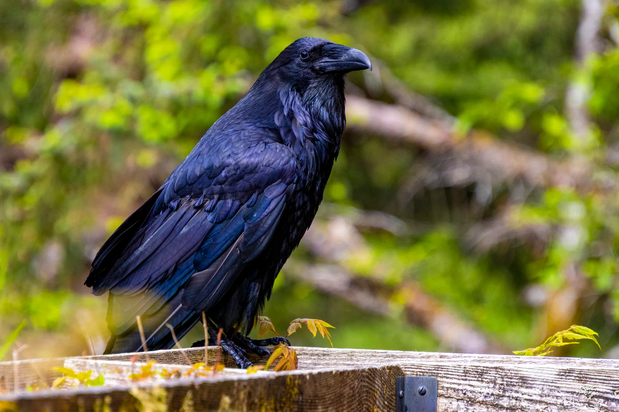
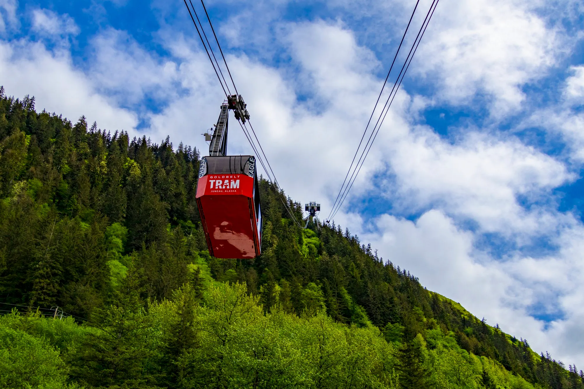
Everyone else went to the shops. I went uphill. Juneau’s streets above downtown climb like San Francisco’s, and by ten I was at the top of them, where the pavement turns into Basin Road: a gravel road up Gold Creek with a wooden trestle over the creek and green walls on both sides. A raven sat on the rail and held still long enough for the lens at 177 millimeters, from well back. I stood on the trestle for twenty minutes and lost track of the time, because the road keeps going. It is the way in to Last Chance Basin and the Perseverance Trail, the first road in Alaska, and it deserves a whole day. All aboard was one o’clock. I was back at the docks by 11:40, with the Mount Roberts tram climbing the mountainside behind them.
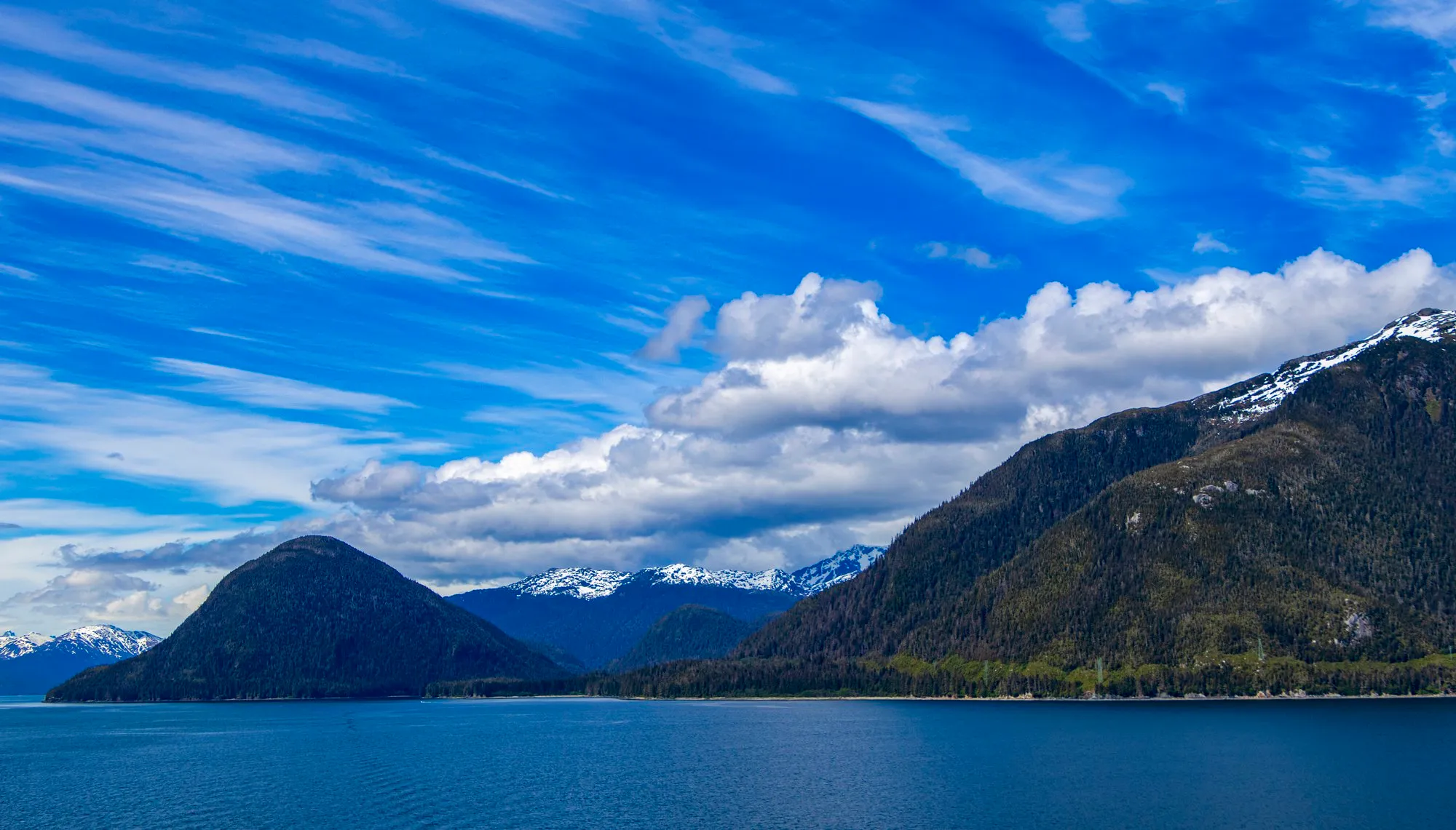
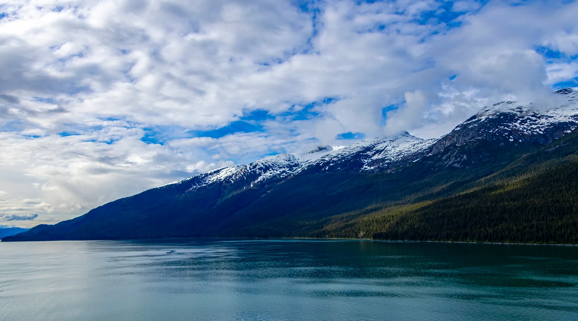
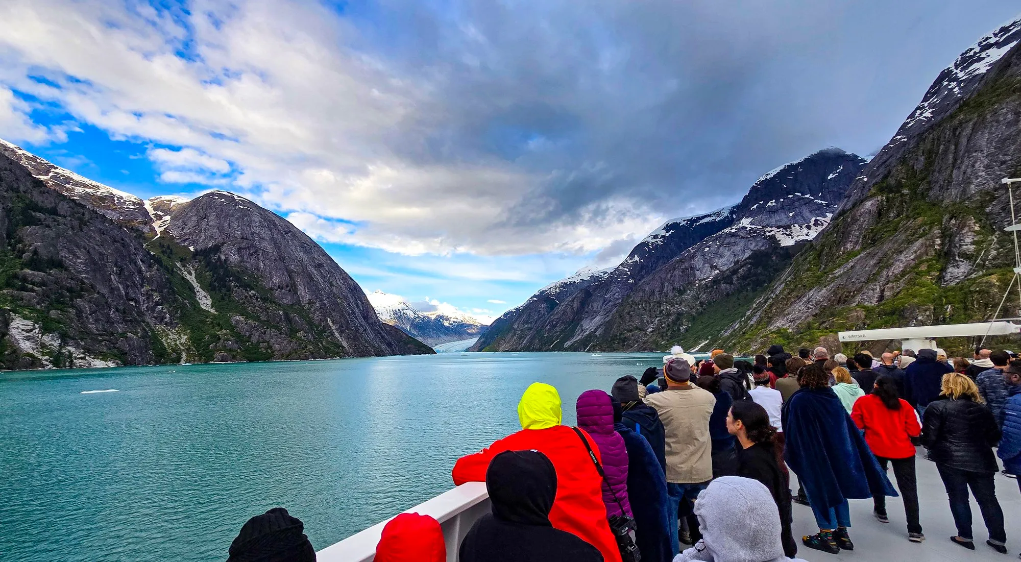
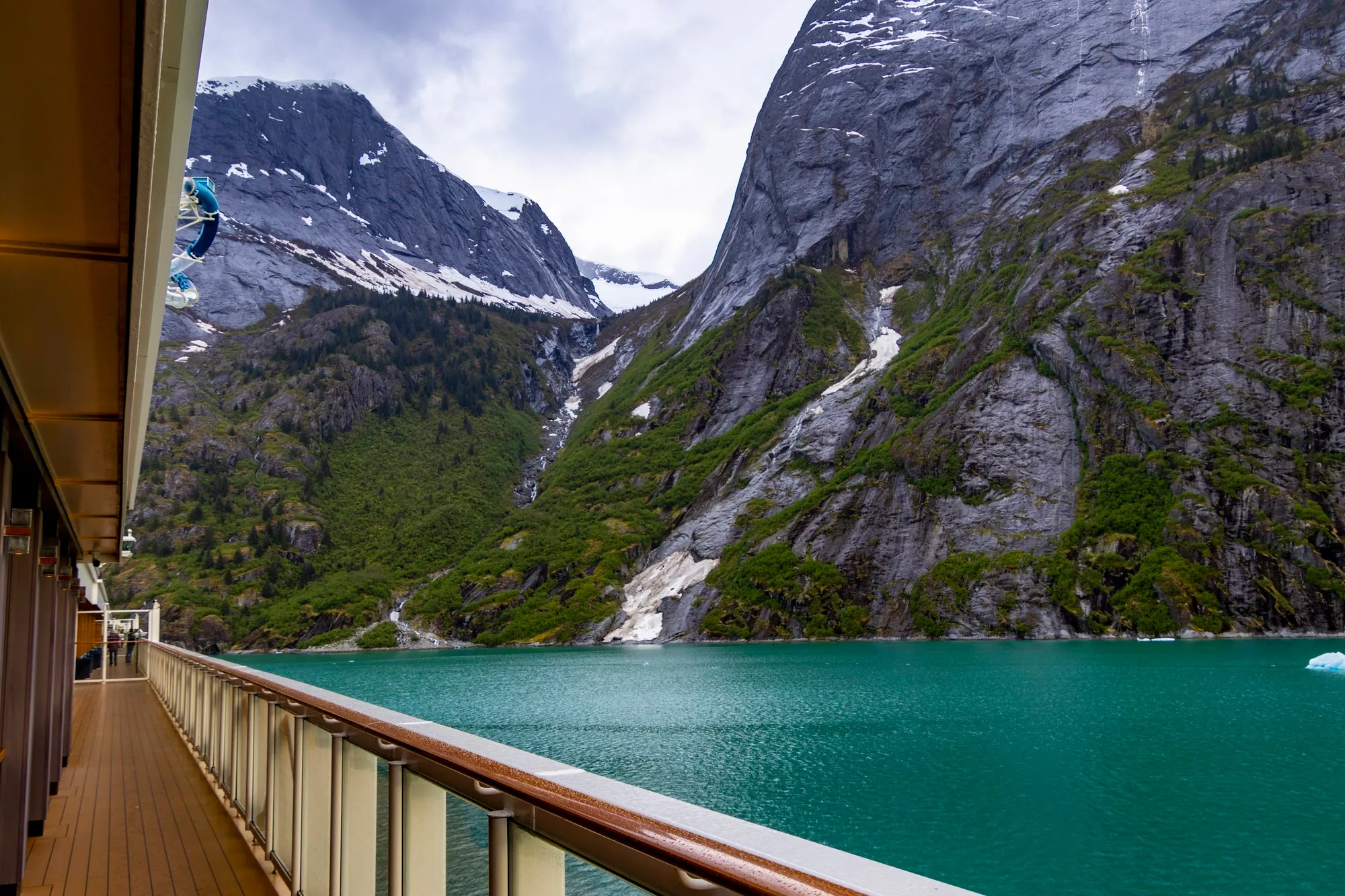
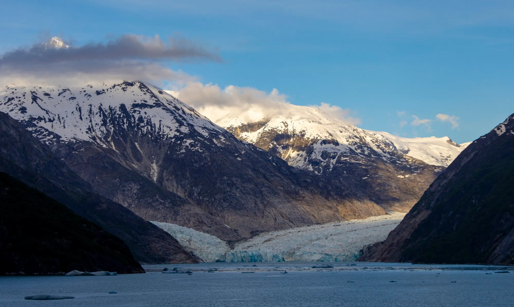
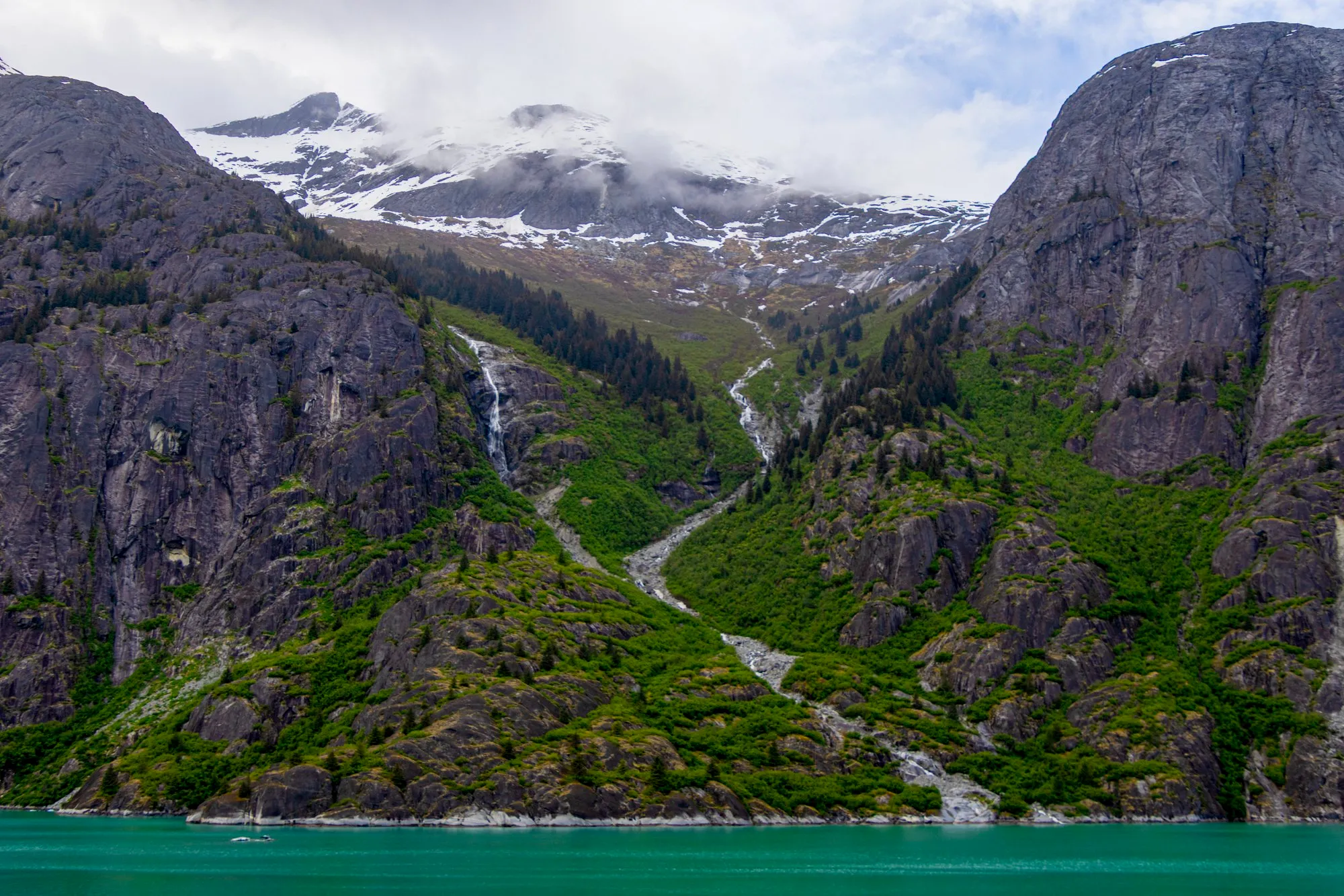
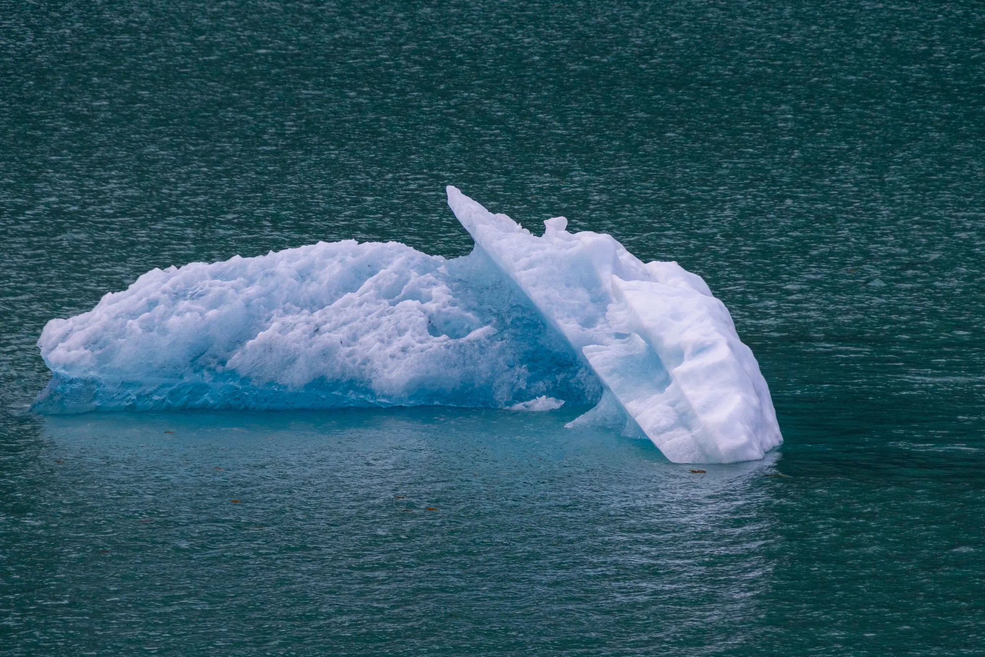
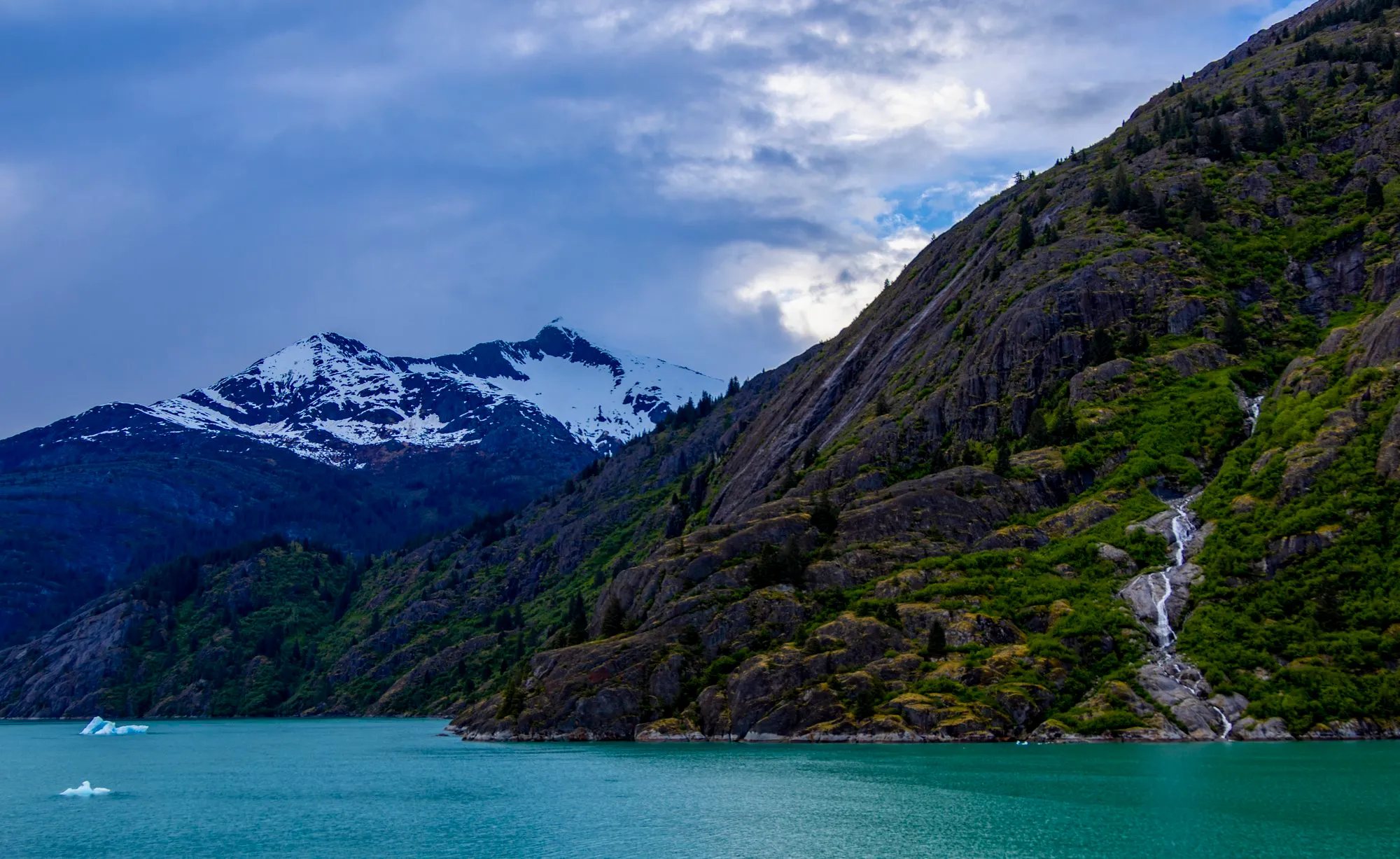
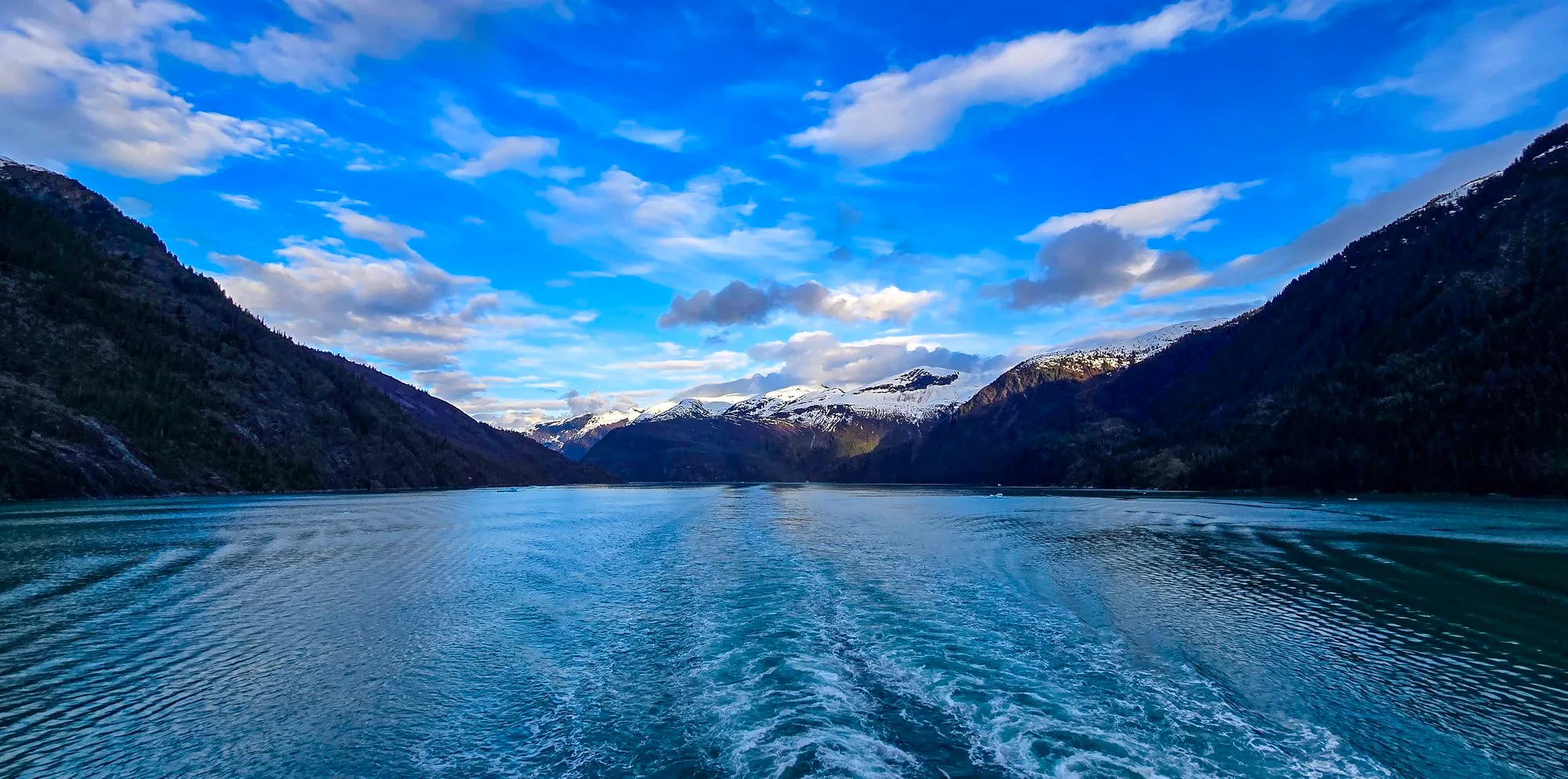
In my notes the glacier came before Juneau. It came after. At 3:13 pm we were in Stephens Passage under a wide streaked sky, and at 4:48 the ship turned into Holkham Bay and Endicott Arm, a fjord 30 miles long with granite walls, waterfalls down them and ice in the water. Everyone went to the bow. I went too, and noticed that a ship facing a glacier has to turn around at some point, and that when it does, the stern will have the view. So I walked back to the empty promenade and waited.
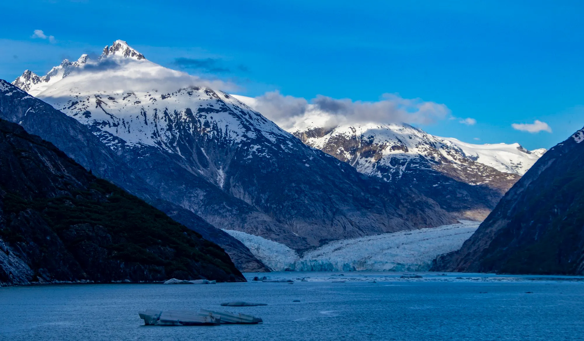
The ship reached Dawes Glacier at four minutes past six and sat in front of it until eight. It turned. For most of that time I had the back of the ship to myself: the glacier down the fjord, the ice, a tour boat under the wall for scale, then the wake churning as we left. By the cruise lines’ own numbers the face is about 600 feet tall and half a mile wide. We were heading back out of the arm at half past eight, still in daylight.

The morning in Juneau by the phone's frames, from the AJ Dock through downtown and up the hill to Basin Road, joined in order. A trace of the photographs, not a recorded track. 66 frames; the numbered pins are the photographs below.

The ship's positions as the phone recorded them, in from Holkham Bay to Dawes Glacier and back out, four in the afternoon to half past eight. 176 frames; the numbered pins are the photographs below.
/ Icy Strait Point and Hoonah, Alaska
Icy Strait Point and Hoonah
- Icy Strait Point pier, on deck at dawn
- Icy Strait Point, the cannery
- Hoonah
- Back at the point
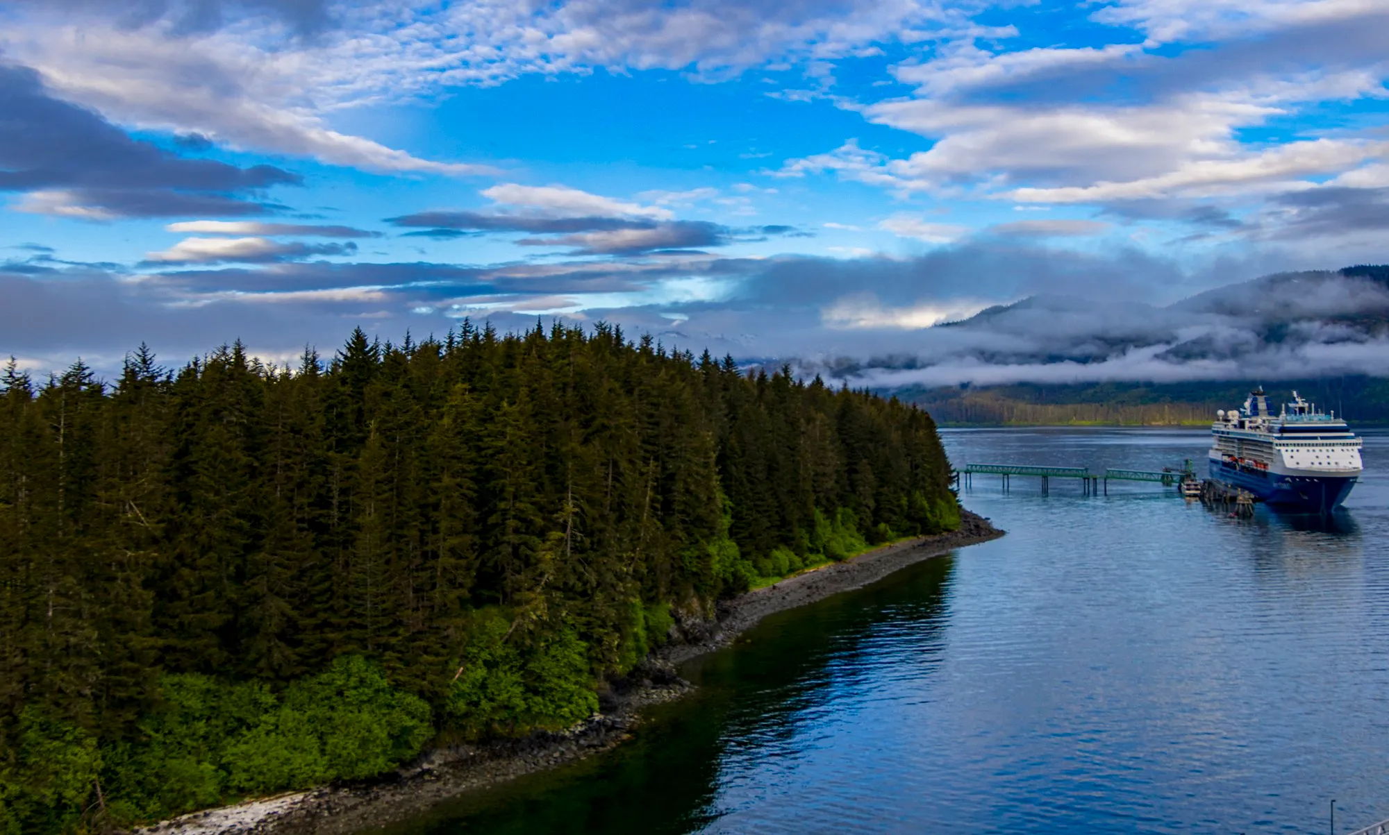
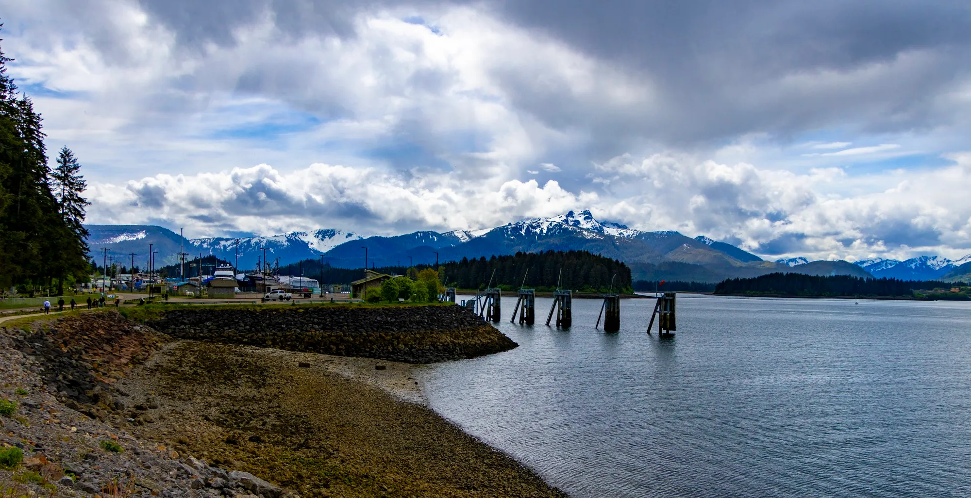
I was on deck at 6:17 in the morning at the Icy Strait Point pier, with the water still and the forest mirrored in it. The frame that has been my phone’s wallpaper ever since is from that hour.
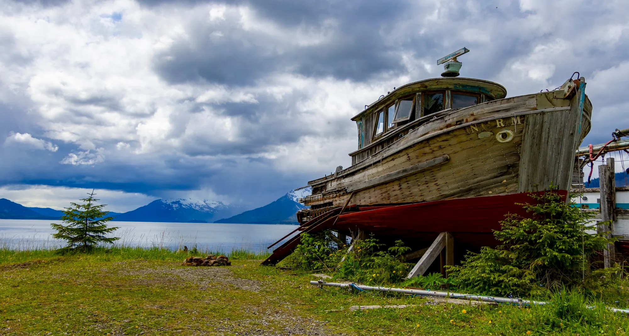
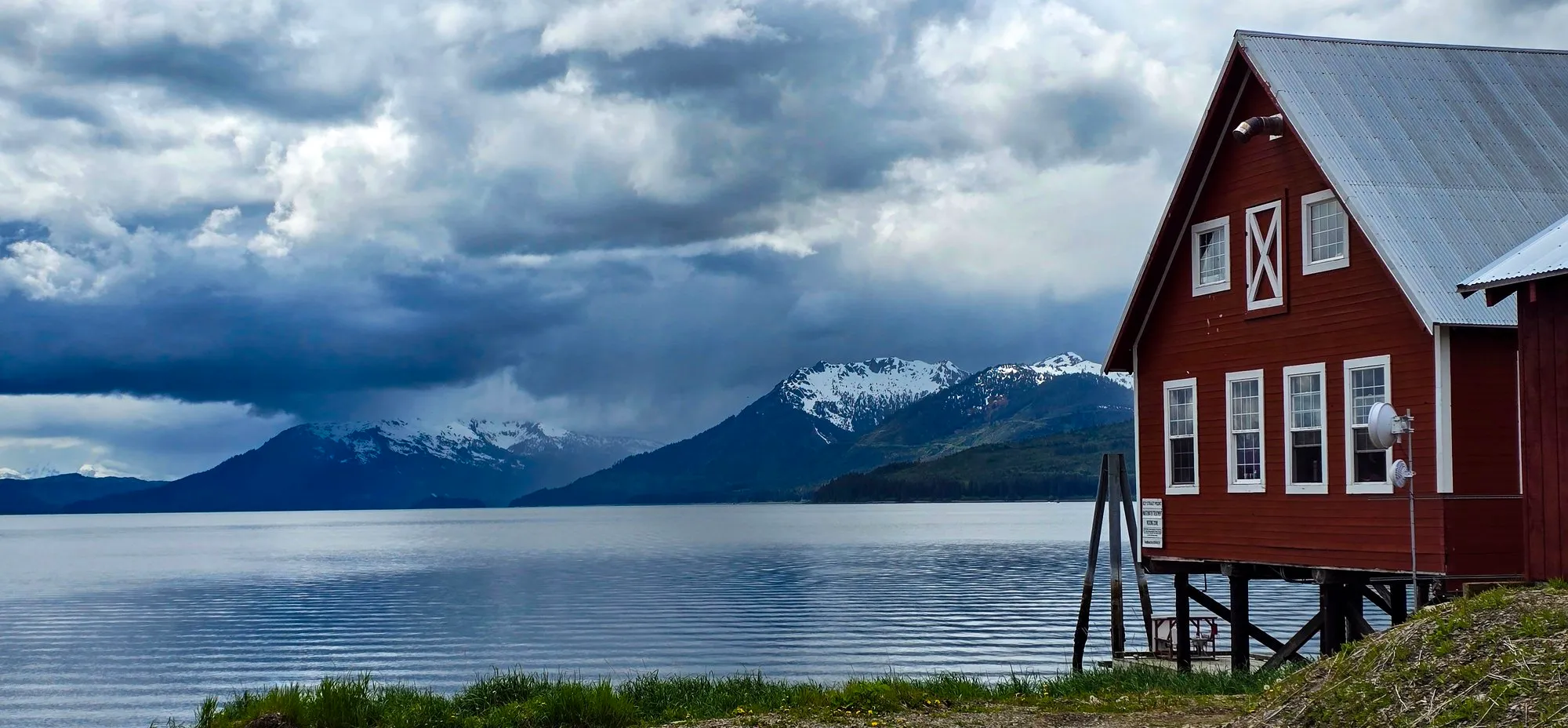
Icy Strait Point is not Hoonah. It is a private cruise port a mile and a half up the shore from the village, built around a 1912 salmon cannery and opened in 2004 by Huna Totem Corporation, the Native village corporation whose shareholders are the Hoonah Tlingit. In Sitka I had wondered whether the towns we walked through were being compensated for the crowds. Here the town owns the port.
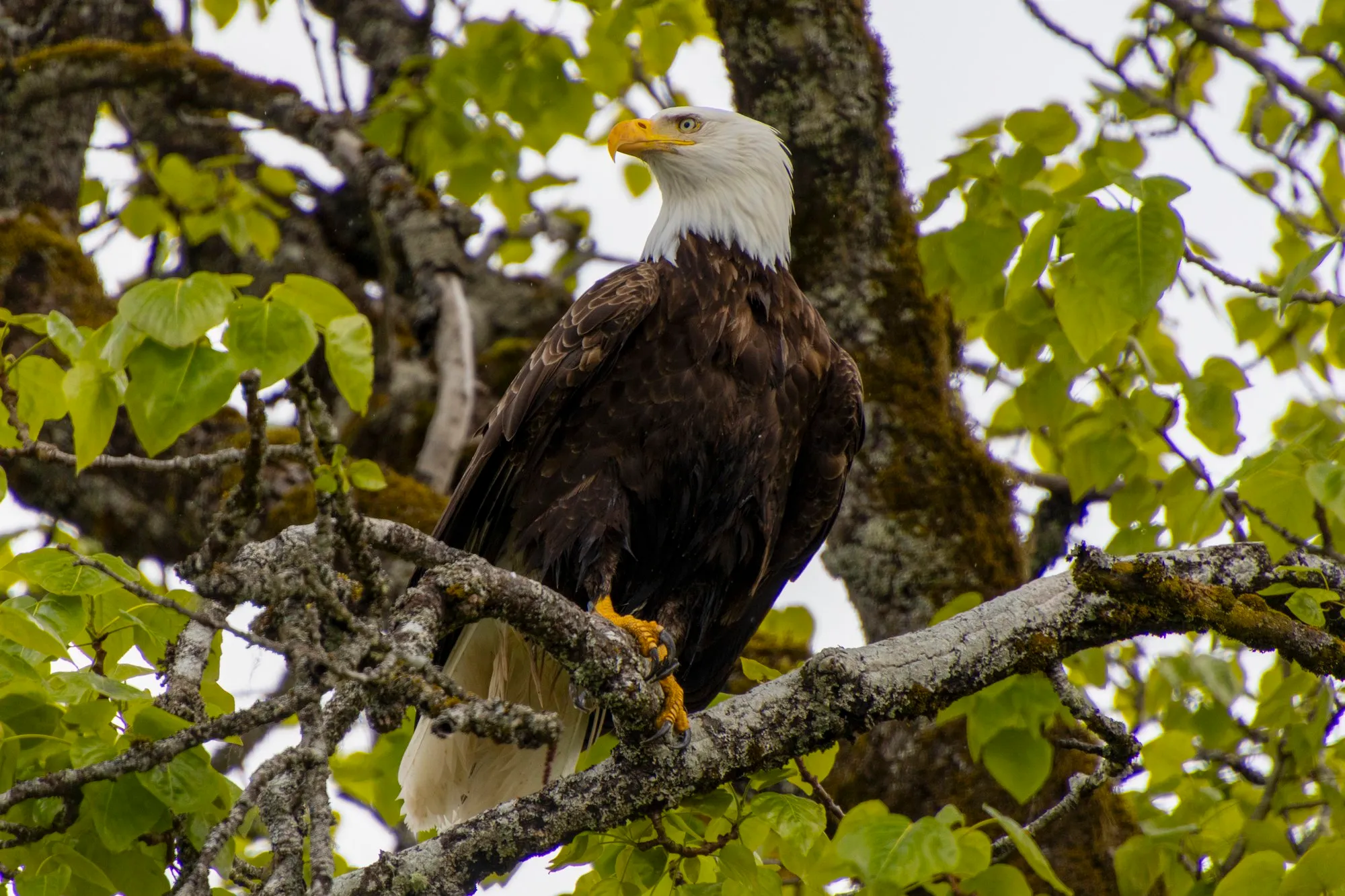
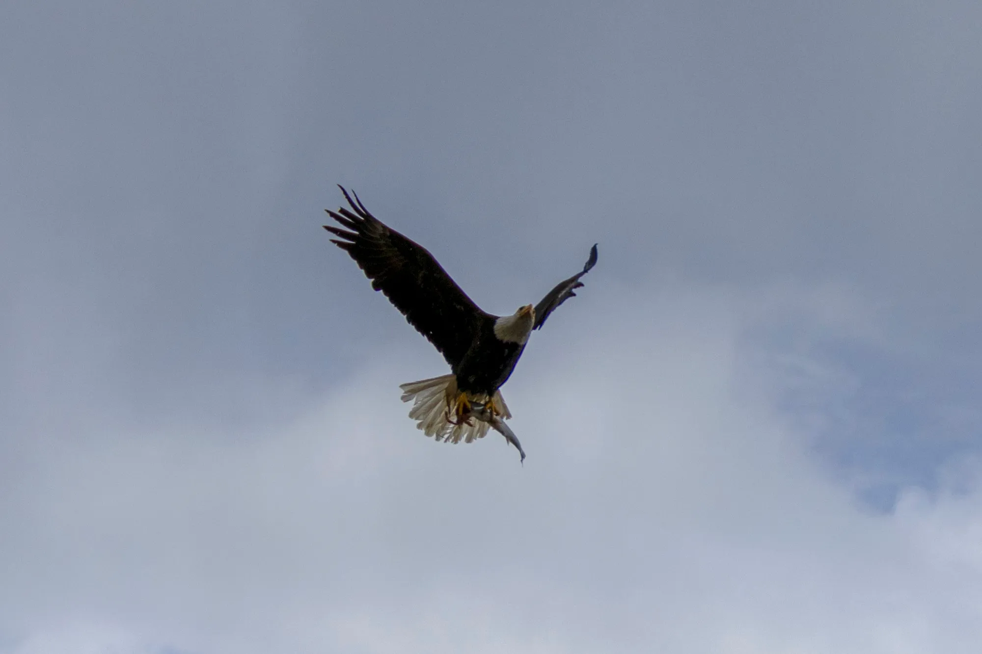
At 10:40 I was at the cannery. A bald eagle sat on a branch above the road with a few hundred people underneath it and did not care. Everyone got the shot. Mine is from the road below the branch with the lens at its 400 millimeter end, 640 equivalent on the R7, at a 1,250th of a second, and it is the best one. No arguments. Later one came off a branch and flew, and I got that too.
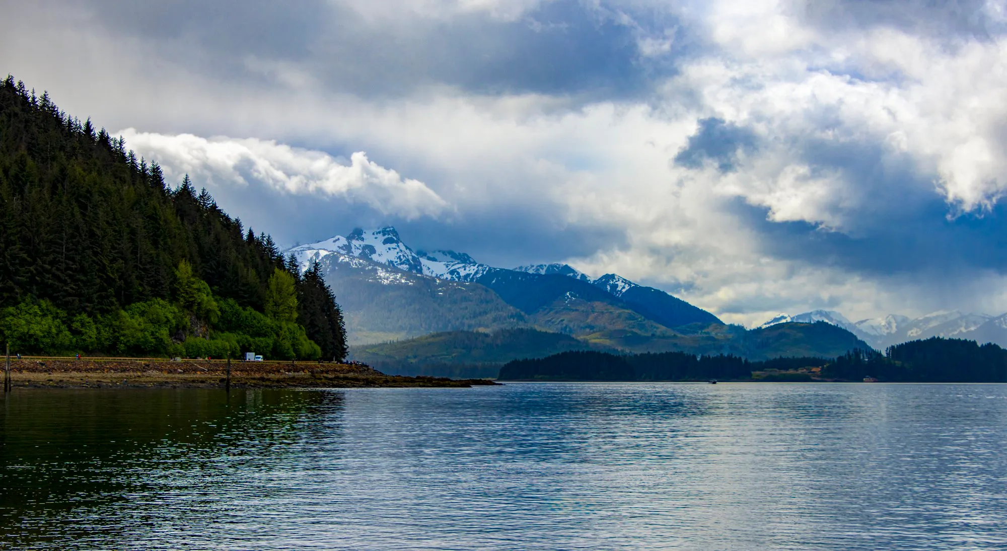
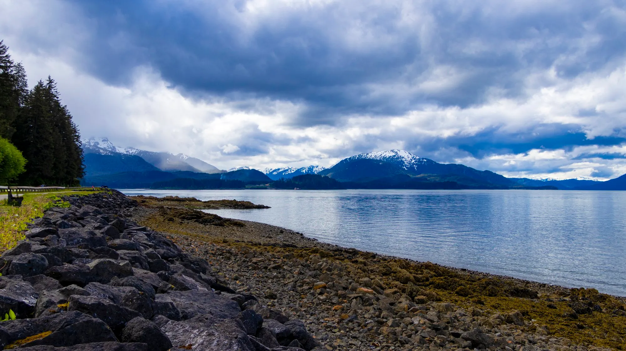
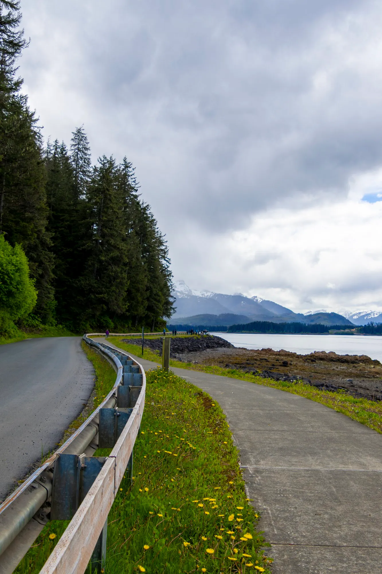
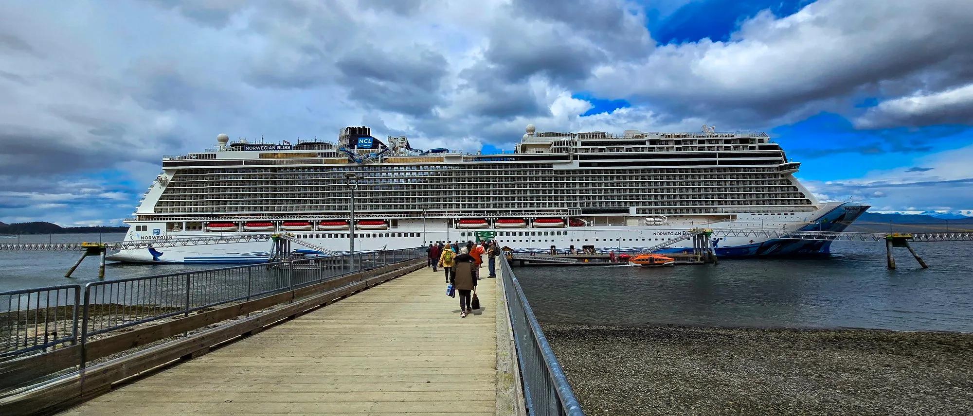
We walked the shore road to Hoonah instead of taking the bus, the bay on one side and spruce on the other, and were in the village at 12:12. The bus brought us back. We were at the point again at 1:17 with the ship due out, and the step counter read about 15,000 by half past one.

The walk from the cannery to Hoonah along the shore road by the phone's frames, and the bus back. A trace of the photographs, not a recorded track. 48 frames; the numbered pins are the photographs below.
/ Ketchikan, Alaska
Ketchikan in the Rain
- Ward Cove
- The Mill at Ward Cove, the bus downtown
- Downtown Ketchikan
- Tongass Narrows, departing
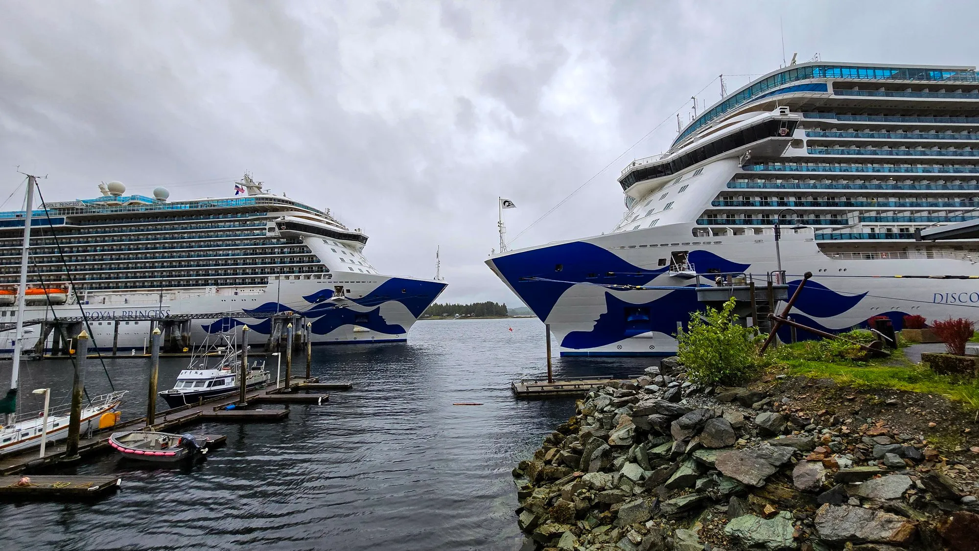
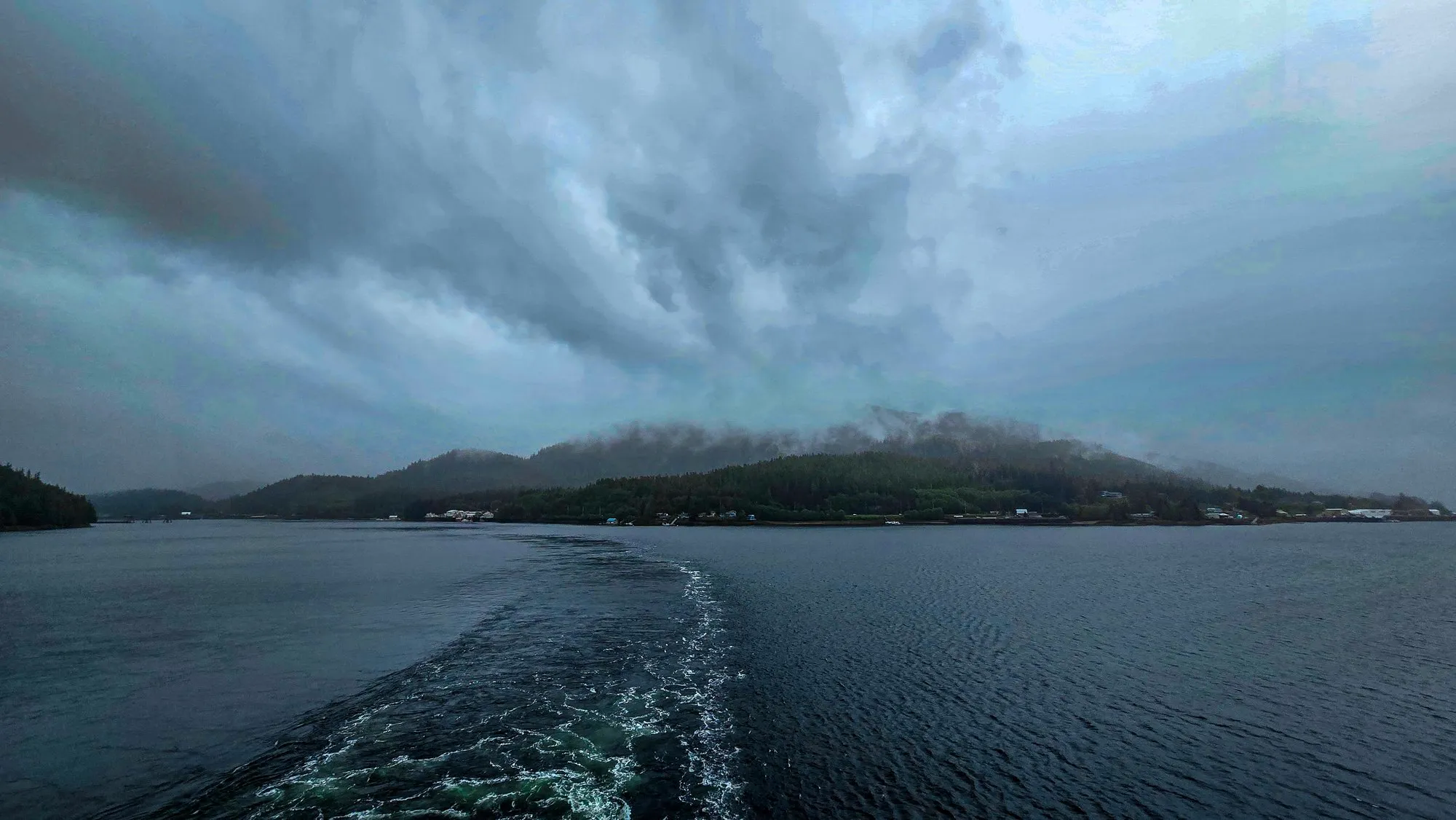
Ketchikan calls itself the rainiest city in America, at around 150 inches a year, and it was raining. Norwegian’s ships dock at Ward Cove, seven miles north of town on the site of the old pulp mill, opened in 2021; the mill building is now a hall of shops, and buses run to downtown. We were at Ward Cove from 6:23. The bus had us downtown at 10:11, we were back at the cove by 11:11, and the ship was in Tongass Narrows heading out by half past one. Twenty-five minutes of Ketchikan in the rain, two Princess ships at the downtown docks, and back aboard.
/ The Pacific coast and Victoria, British Columbia
Victoria After Dark
- Off the Brooks Peninsula, Vancouver Island
- Off Esquimalt, approaching Victoria
- Ogden Point
- James Bay and Fisherman's Wharf
- The Inner Harbour
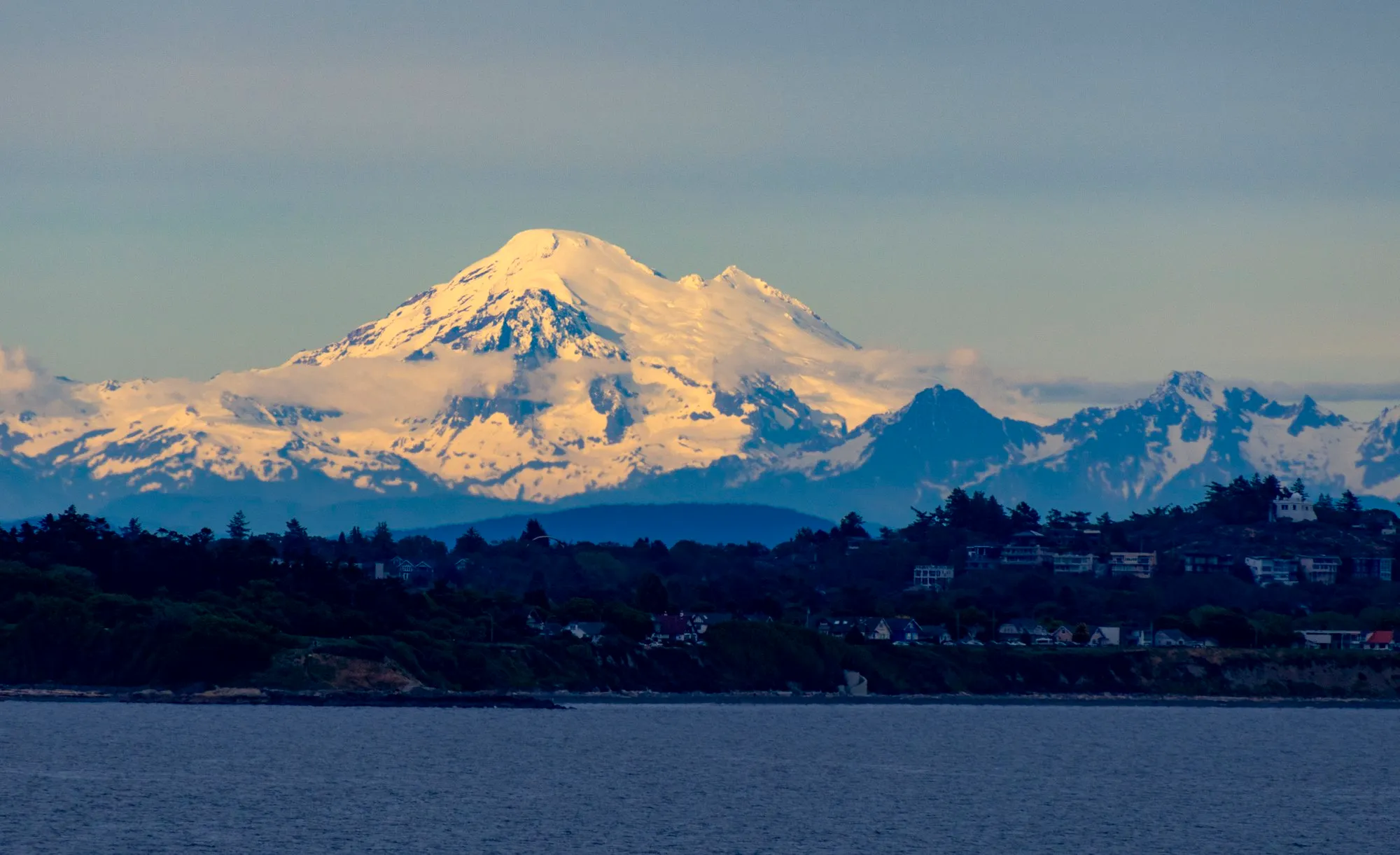
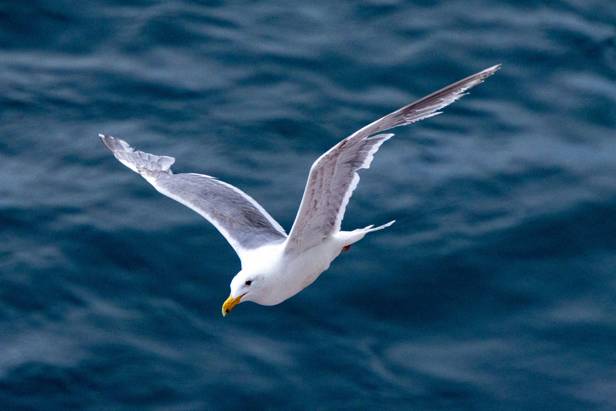
A sea day going south, down the outside of Vancouver Island again. At 8:02 in the morning the phone put us off the Brooks Peninsula. In the evening Mount Baker stood up over the Strait of Juan de Fuca, 79 miles from the ship by the frame’s position, pulled in by the lens at 246 millimeters with the last light on the snow, and the gulls rode the air off the stern.
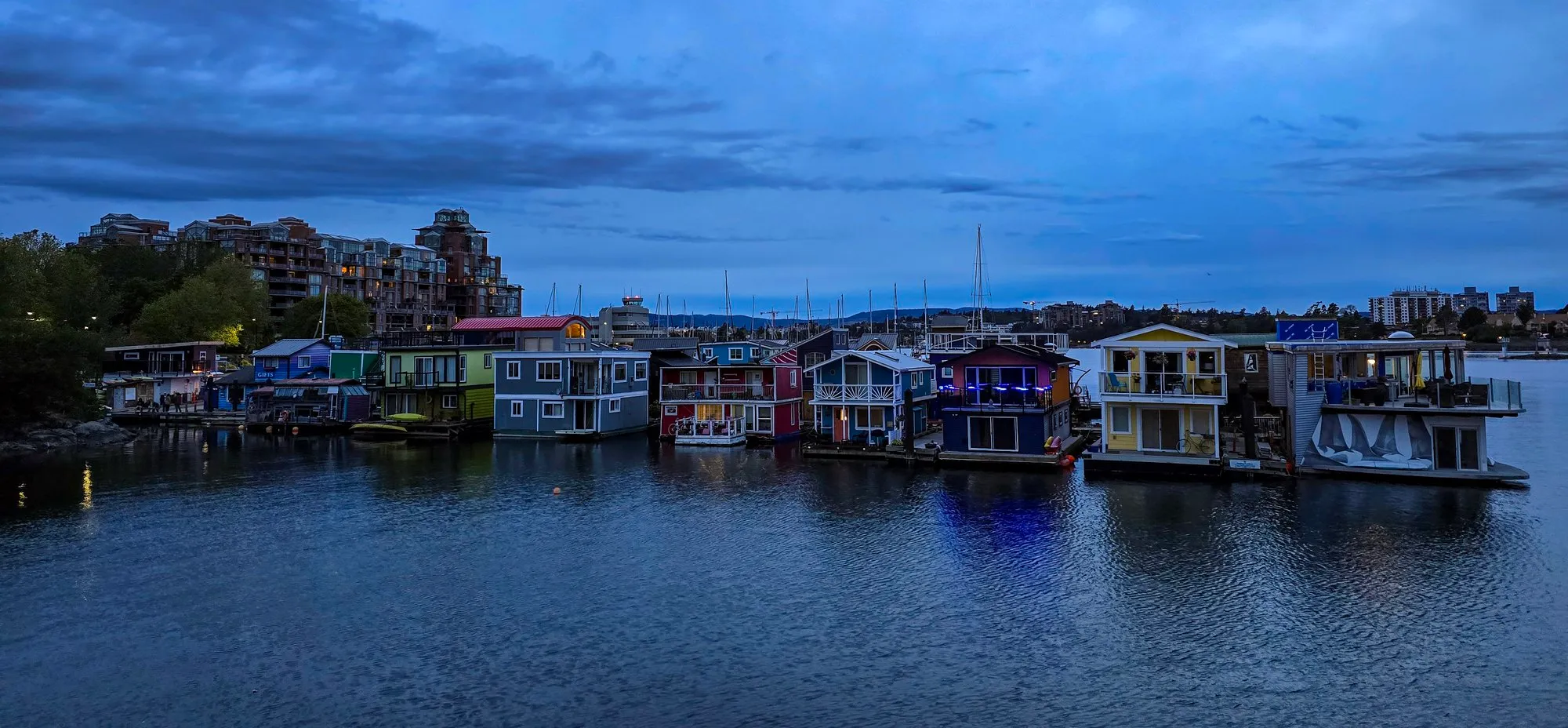
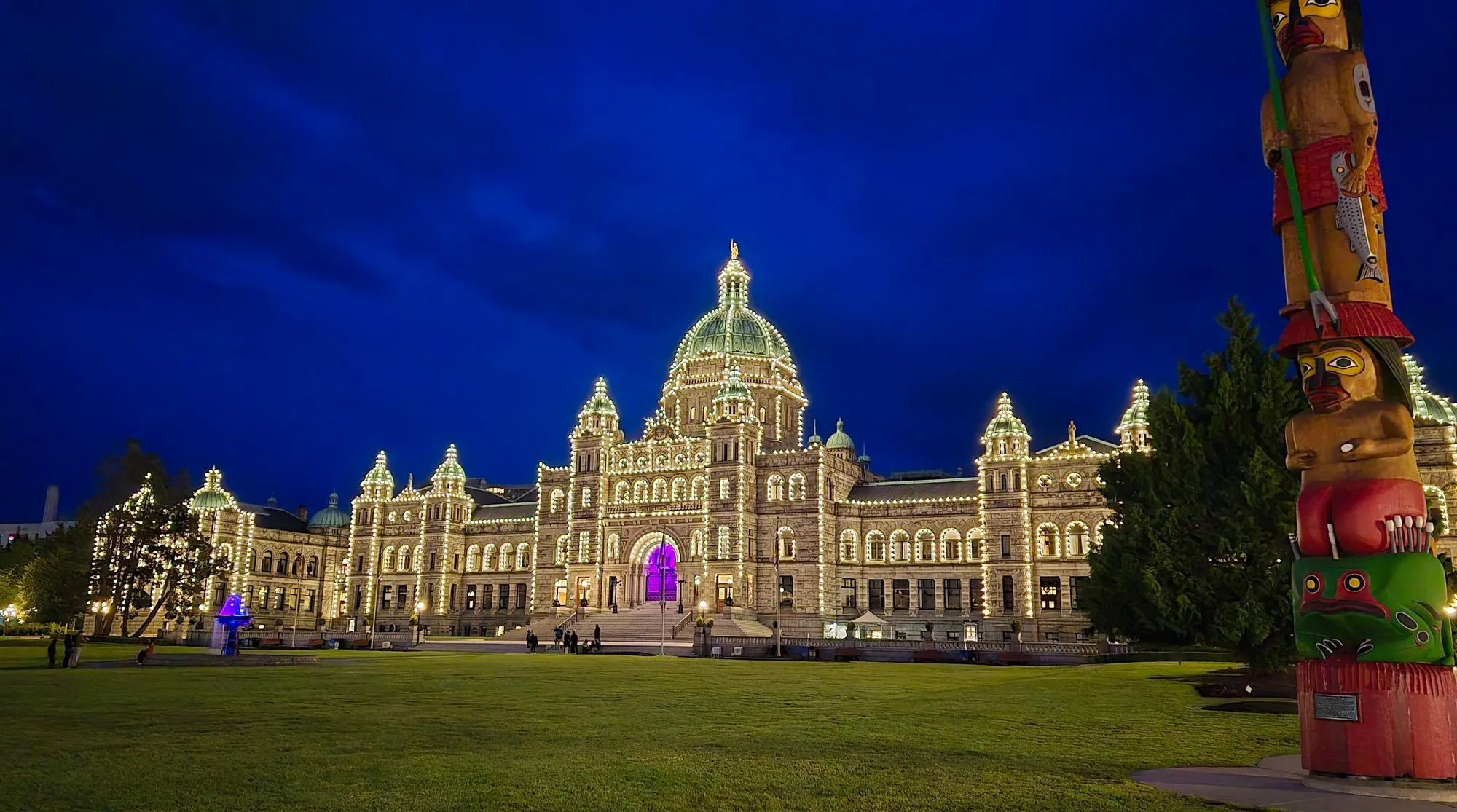
Victoria is on the itinerary because it has to be. An 1886 law, the Passenger Vessel Services Act, forbids a foreign-flagged ship from carrying passengers between two American ports without a foreign stop in between, and Norwegian Bliss flies the flag of the Bahamas. So every Seattle round trip calls at Victoria, and it does so in the evening. We docked at Ogden Point at 7:31 pm, walked through James Bay past the floating homes at Fisherman’s Wharf, and reached the Inner Harbour at ten, where the Parliament Buildings were lit. The neighborhood probably did not need a few thousand people walking through it at that hour. It was still a good walk, and the last dinner on the ship came after it.
/ Seattle, then home
Back to Seattle
- Pier 66, the last morning
- Seattle-Tacoma airport
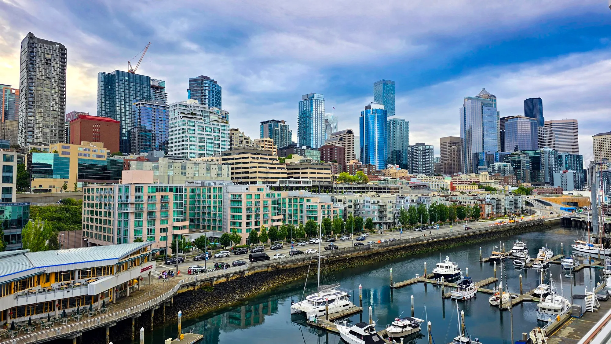
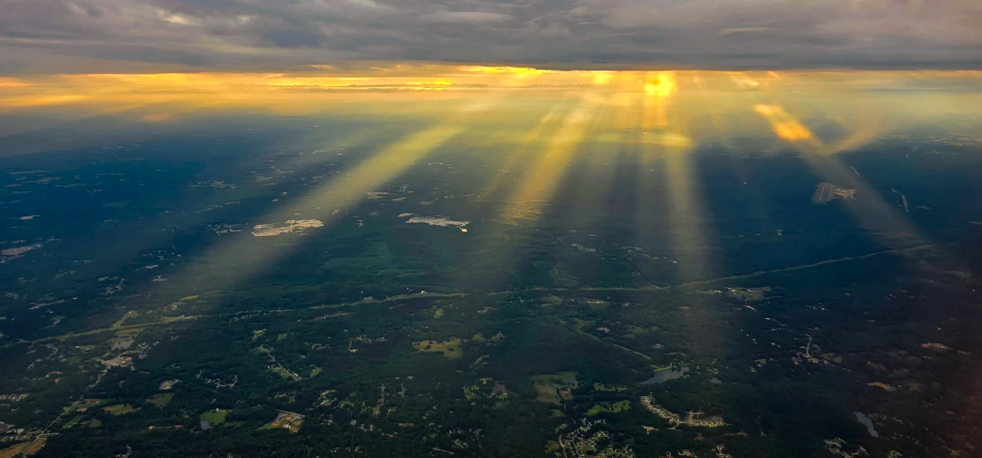
Off the ship at Pier 66 by seven, with the skyline across the marina in morning light. Seattle-Tacoma at 12:58. Home in Georgia by eight in the evening, with the sun coming down through the clouds in rays on the way in.
I was paid to be there, I spent a fair amount on the ship and ashore, and it was worth every dollar. I would do the same trip again exactly as it was, short port hours and all, so that I would never have to wonder about it.
In the Bag
What Came Along
Only what was actually carried, as the disclosure promises. Amazon links are affiliate links.
- Canon EOS R7 the camera; every telephoto frame on this page
- Tamron 18-400mm F/3.5-6.3 Di II VC HLD (B028) one lens for the whole trip; the eagle frames are from its long end, 400 mm, which is 640 mm equivalent on the R7 sensor
- Canon Mount Adapter EF-EOS R the plain adapter without the control ring; it puts the EF lens on the RF body
- Lowepro Fastpack BP 250 AW III the camera backpack for the whole trip, with the R7 and the lens in it
- Samsung Galaxy S24 Ultra the phone whose geotags and clock are the record this page is built from
How This Page Was Made
The Record
The phone tagged 813 of its 901 frames with a position and every one with a clock, and that record is the skeleton of this page: each stop's time and place is where the phone was when a frame was taken, and the walk maps join those positions in the order they were shot, which is a trace of the photographs rather than a recorded track. Camera frames borrow the position of the phone frame nearest in time. Each day's sky band places every frame the phone took that day by its clock and colors it by the most common color at the top of the frame, the almanac's rule, so the indoor frames sit in it as dull cells. Sunrise and sunset are computed for each day's first stop; conditions come from the Open-Meteo archive for the hour and place named, in that place's own time zone. Step counts were read off a step chart on the phone, so they carry "about". Port times are from the ship's daily program. Nothing here is a guess: where a value was not recorded, it is left out.
Sources
- Norwegian Bliss, Wikipedia
- Tongass National Forest, The Wilderness Society
- Castle Hill, Sitka, Wikipedia
- Icy Strait Point, Wikipedia
- First cruise ships dock at Ward Cove (2021), KRBD
- Passenger Vessel Services Act of 1886, Wikipedia
- Landmarks in Stanley Park, City of Vancouver
- Chuckanut Drive Scenic Byway, Scenic Washington
- Perseverance National Recreation Trail, American Trails
- Endicott Arm and Dawes Glacier, Princess Cruises
- Historical weather, Open-Meteo
- Coastline data, Natural Earth
- Walk map geometry, OpenStreetMap contributors