
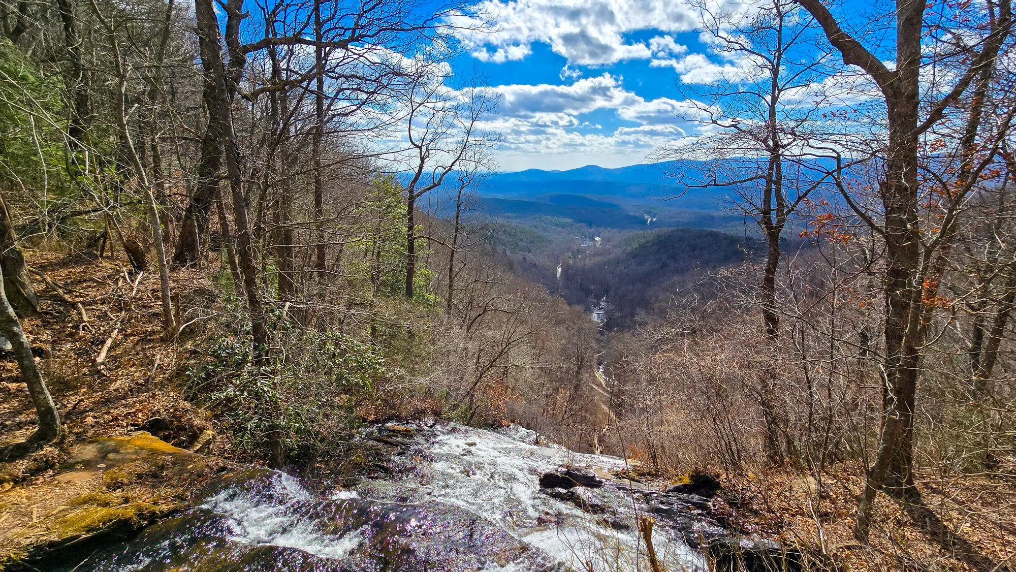
The falls come down in a long run of cascades between the visitor center at the bottom and the lodge road at the top, and the way up is mostly staircase. Measured off the track, it is about 870 feet from the bottom of the falls to the lip, inside a mile of walking, which is a lot of steps for the distance. The reward is the view from the top, straight back down the gorge you just climbed.
Doing This Hike
Before You Go
By the Numbers
Across 1 Logged Hike
Feb 2, 2025First Logged
Feb 2, 2025Latest Logged
2.2 miDistanceone morning
259 ftElevation Gainone morning
58mMoving Timeone morning
35°FSunrise Tempone morning
0%Cloud Coverclear, one morning
2.2 miTotal Distance259 ft climbed
From Here
Every Photograph
On the Ground
The Route
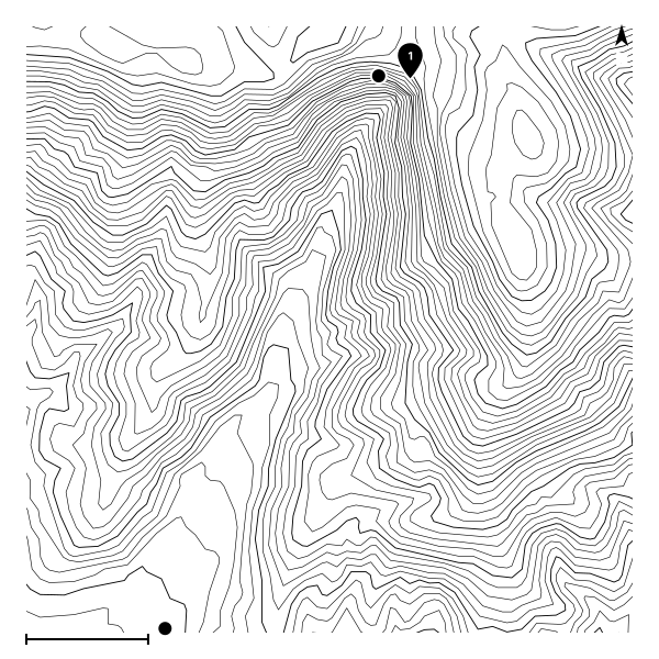
The most recent recorded track, starting from the usual trailhead.
The Record
Conditions History
| Date | Sunrise | Cloud | High | Temp | Distance | Gain | Moving |
|---|---|---|---|---|---|---|---|
| Feb 2, 2025 | 7:34 AM | 0% | 0% | 35°F | 2.2 mi | 259 ft | 58m |