
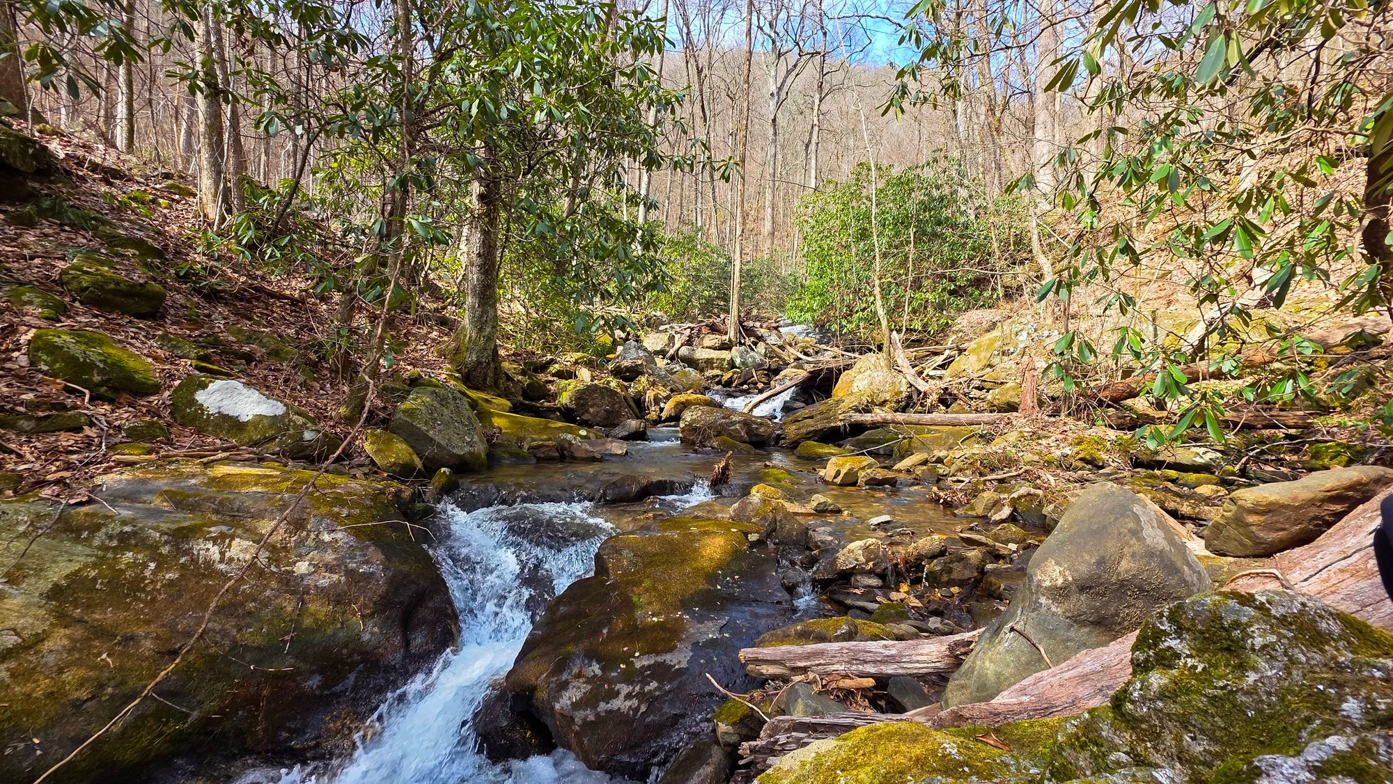
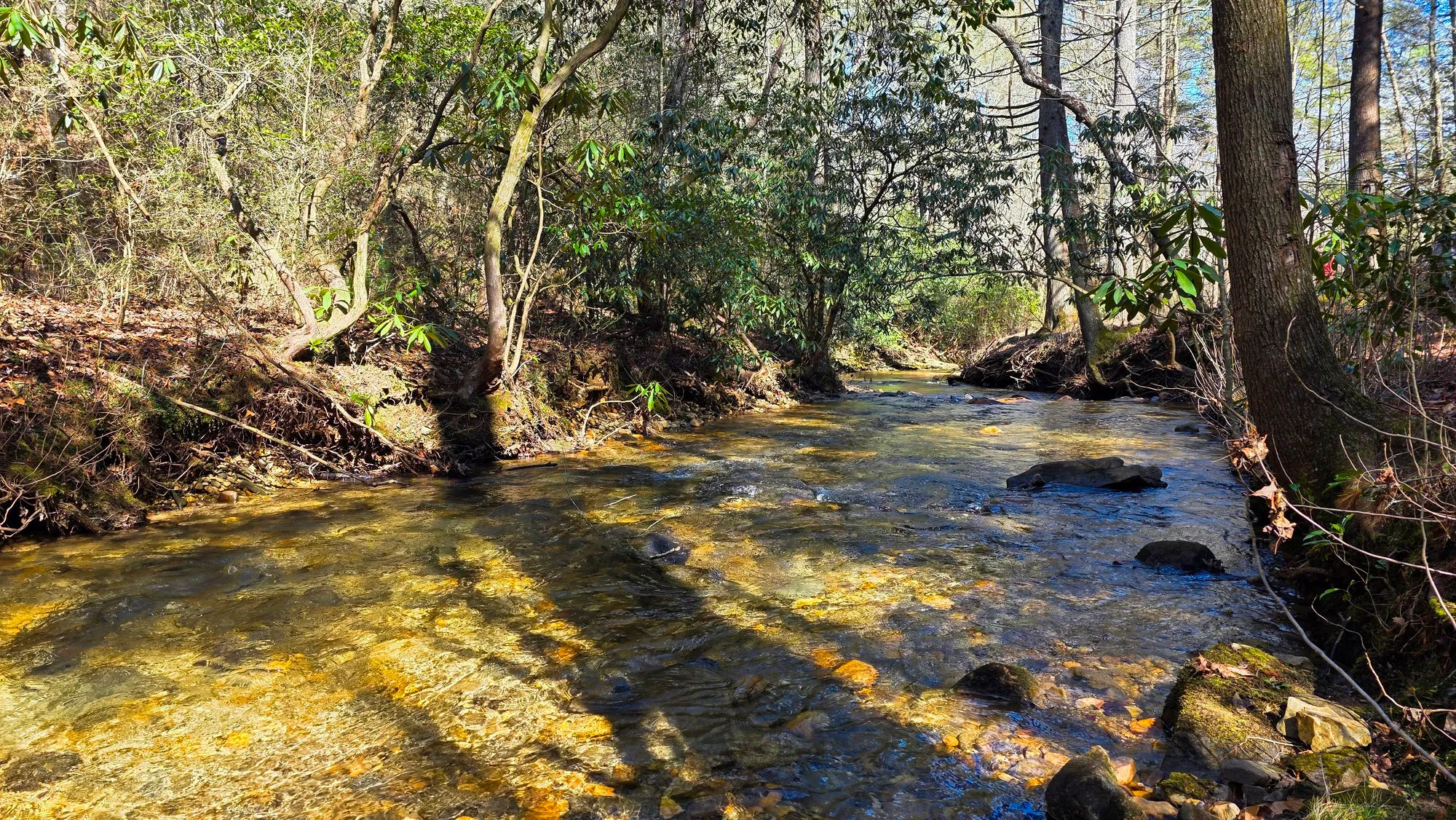
Cochran Creek comes off the ridge northwest of Dawsonville, inside the Dawson Forest Wildlife Management Area. Getting there is most of the story: dirt roads, two fords by vehicle, and another crossing on foot. The old service road in is easy going and then the last stretch to the falls turns steep and slick enough to take seriously. Amicalola is twenty minutes away and absorbs all the traffic, which is how you get a Saturday here to yourself.
Doing This Hike
Before You Go
By the Numbers
Across 2 Logged Hikes
Feb 22, 2025First Logged
Mar 8, 2025Latest Logged
3.4 to 3.6 miDistance2 mornings
75 to 210 ftElevation Gain2 mornings
54m to 1h 15mMoving Time2 mornings
31°F to 50°FSunrise Temp2 mornings
0 to 100%Cloud Cover2 mornings
7.1 miTotal Distance286 ft climbed
From Here
Every Photograph
On the Ground
The Route
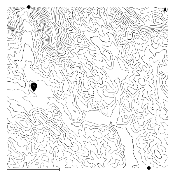
The most recent recorded track, starting from the usual trailhead.
The Record
Conditions History
| Date | Sunrise | Cloud | High | Temp | Distance | Gain | Moving |
|---|---|---|---|---|---|---|---|
| Mar 8, 2025 | 6:56 AM | 100% | 0% | 50°F | 3.4 mi | 75 ft | 54m |
| Feb 22, 2025 | 7:14 AM | 0% | 21% | 31°F | 3.6 mi | 210 ft | 1h 15m |