
Planning the hike?
Start with my Laurel Ridge Trail review: the map of the loop, where people lose the trail, parking and the stairs.
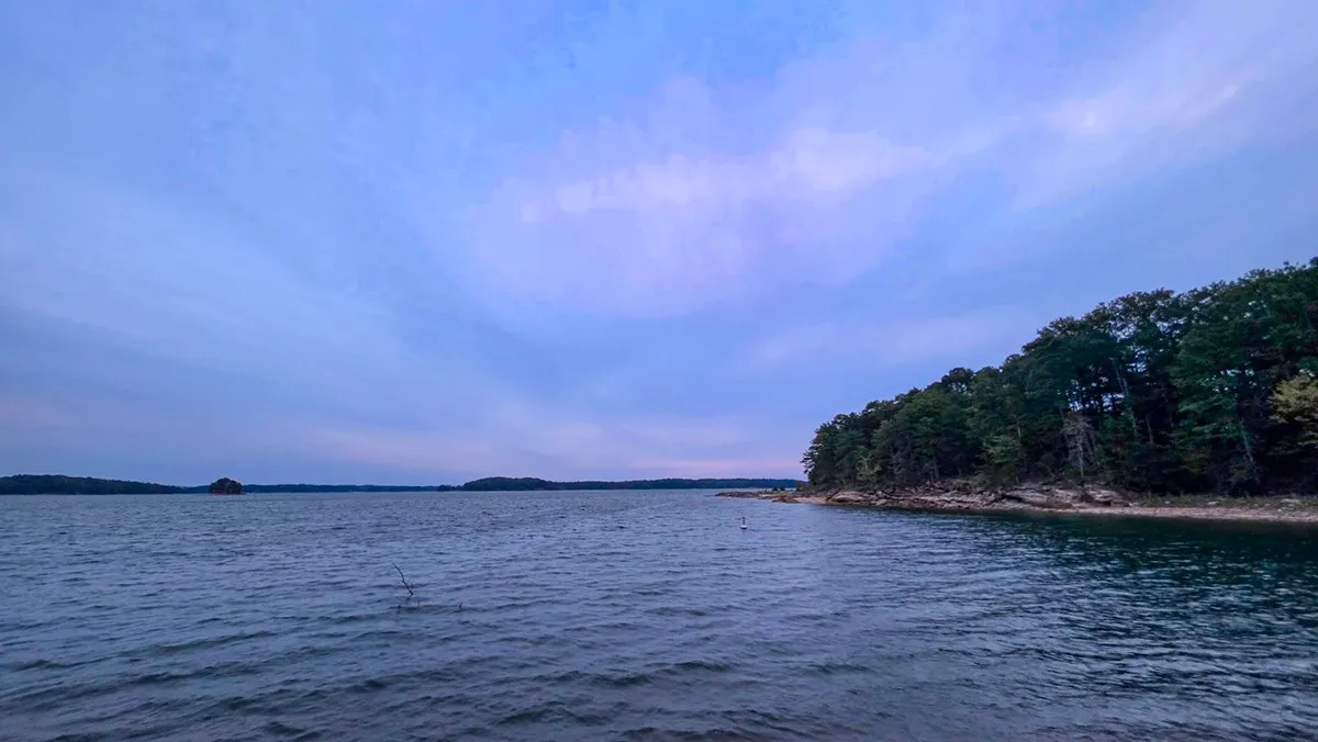
Laurel Ridge Trail loops through the Corps of Engineers parks at the south end of Lake Lanier, beside Buford Dam. Walked clockwise from Lower Overlook, it follows the lakeshore and the beach first, crosses a power easement and a busy road, drops down a stream valley to the Chattahoochee where it leaves the dam, and climbs the stairs beside the dam to finish. The markings are patchy, and there are a few spots where people lose it.
On the Trail
Latest Conditions
As of , from that morning's notes:
- Early on, the footbridge into the fern-lined side branch has been out for years (a tree took it). Jump across or go around through the power easement and along the road.
- Where that detour rejoins, walk past the restricted-area sign and the automatic gate to the crosswalk.
- After the road crossing at the crosswalk: more exposed roots and granite, slippery when wet.
- The beach's auxiliary lot also reaches the trail, but it is often closed.
- Heading back up to the road, the path through the power easement is narrow and rocky and overgrows in the lush seasons. Check for ticks.
- Two crossings of a busy two-lane road, about halfway and near the end going clockwise. Cars speed despite the speed humps.
- Across the busy road, the trail drops to a stream with a couple of bridges. The bridge is not in good shape: watch your step, more so under fall and winter leaves.
- A couple of trees down across the trail beside the stream, there for some time.
- The scenic bridge across the river at the foot of the dam is rebuilt.
Lines are written from the notes of the morning named, and say nothing the notes do not. What the notes did not mention is not here, and a morning with no lines is not a report that the trail was clear.
Doing This Hike
Before You Go
By the Numbers
Across 1 Logged Hike
Written up as a trail review: Laurel Ridge Trail (the loop at the south end of Lake Lanier, from the beach to the foot of Buford Dam), with the parking, the path and the rules.
From Here
Every Sunrise
On the Ground
The Route
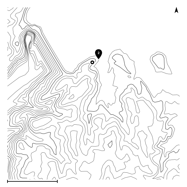
The most recent recorded track, starting from the usual trailhead.
The Record
Conditions History
| Date | Sunrise | Cloud | High | Temp | Distance | Gain | Moving |
|---|---|---|---|---|---|---|---|
| Oct 9, 2026 | 7:37 AM | 0% | 100% | 64°F | 5.8 mi | 534 ft | 1h 56m |