
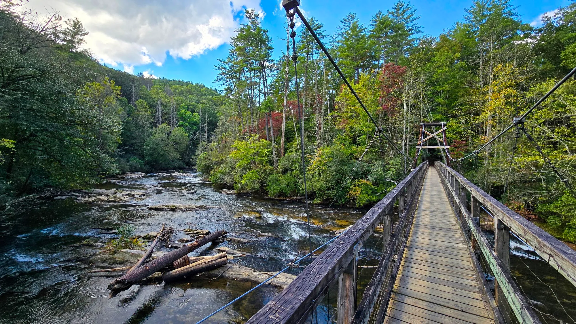
The Benton MacKaye Trail crosses the Toccoa River here on a suspension bridge of plank and cable, a quarter mile downhill from the parking lot. Most people come for the bridge rather than the trail, and that is fair enough: it is the reason the walk exists. The river runs over shoals on both sides of it, and the whole thing takes well under an hour unless you keep walking.
Doing This Hike
Before You Go
By the Numbers
Across 1 Logged Hike
Oct 6, 2024First Logged
Oct 6, 2024Latest Logged
1.4 miDistanceone morning
152 ftElevation Gainone morning
38mMoving Timeone morning
59°FSunrise Tempone morning
0%Cloud Coverclear, one morning
1.4 miTotal Distance152 ft climbed
From Here
Every Photograph
On the Ground
The Route
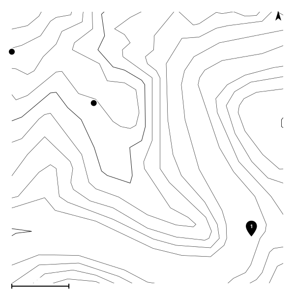
The most recent recorded track, starting from the usual trailhead.
The Record
Conditions History
| Date | Sunrise | Cloud | High | Temp | Distance | Gain | Moving |
|---|---|---|---|---|---|---|---|
| Oct 6, 2024 | 7:35 AM | 0% | 0% | 59°F | 1.4 mi | 152 ft | 38m |