
Everyone knows the trail to the top of Stone Mountain. It is good exercise, but there is only so much you can see from up there. I prefer the Cherokee Trail, the one that goes all the way around the mountain: babbling brooks, streams that rush down the steep hillsides after rain, lake views and the mountain from every side. All the wildlife is down here too.
It is longer than going up and back down, but there is far more going on. You don’t have to walk the whole loop, either. There is parking almost everywhere around the mountain, so you can park at any lot and walk a piece of it in and out.
For this review I walked the whole loop on the white blazes, starting from the covered bridge at Indian Island. Most of my sunrise mornings walk part of it, but they wander onto the island, the summit and the connecting trails, so this one stayed on the white blazes all the way around.
Getting There
Location Detail
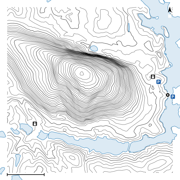
The Cherokee Trail is a loop, so you can start anywhere on it, and there is parking almost all the way around the mountain. The park sends hikers to two lots: the Historical & Environmental Education Center at the foot of the Walk-Up Trail, and the Nature Garden lot. I start from the Indian Island lot beside the covered bridge, because the trail runs right past the end of the bridge. Every lot needs a park parking pass.
Open the lot in Google Maps. The pin is where the walk on the map began.
What to Expect
Trail Details
The Cherokee Trail changes all the way around. There are flat stretches wide enough for three people side by side, inclines that turn to mud, sections so full of roots that you watch every step, and narrow places where the plants grow into the trail and a fallen tree leaves just enough room to get past. Some of it is sand, some dirt, some bare granite. It moves, too: when a tree comes down somewhere quiet, a new path forms around it, and when a storm washes out a stretch, people walk around that. It is a living trail.
The white blazes mark it the whole way. The connecting trails are orange or yellow. The one turn people miss is on the northwest side, where the Cherokee leaves the straight path and starts up the mountain toward the Walk-Up Trail. The blazes there are painted on a slab of granite at your feet, coming in from either direction and leading up as one line, so if you are not looking down you keep going straight, and the path straight ahead becomes a connecting trail.
That climb and the way down from it are the most treacherous stretch of any trail in the park. Right past the Walk-Up Trail, a sign with a figure slipping on the rock says the trail is closed when wet and sends you to the connector at the base of the Walk-Up Trail, and the same sign stands about every 100 feet on the way down. It is all slope, steep in places, granite with loose small stones and sand, with hardly a flat step on it, and in places I walk sideways to keep my footing. A little water makes the granite a slip and slide even in good shoes, and pine straw in the fall makes it worse. It is marked well, but few people come this way, and if you fall here you might not be found for a while, so carry a phone. I only walk it when it is dry, never after rain and never at night.
If it is wet, there are ways around it: stay straight on the orange connecting trail, or walk down the Walk-Up Trail and pick up the connecting trail from there. If it is dry, it is worth it. The views are almost private, and at the bottom there is a quiet stretch with streams in the spring that feels 5 to 10 degrees cooler than the rest of the trail.
On that connecting trail, about 500 feet past the turn, water seeps out of the bare granite all year, even when everything else is dry. The rock splits in sheets that follow the mountain's surface, and rain that soaks into those cracks higher up runs along them and comes out here. Expect a wet, green, slippery patch.
The Numbers
The Positives
The Negatives
Underfoot
On the Trail
What the trail itself is like, in the order the walk reaches it.
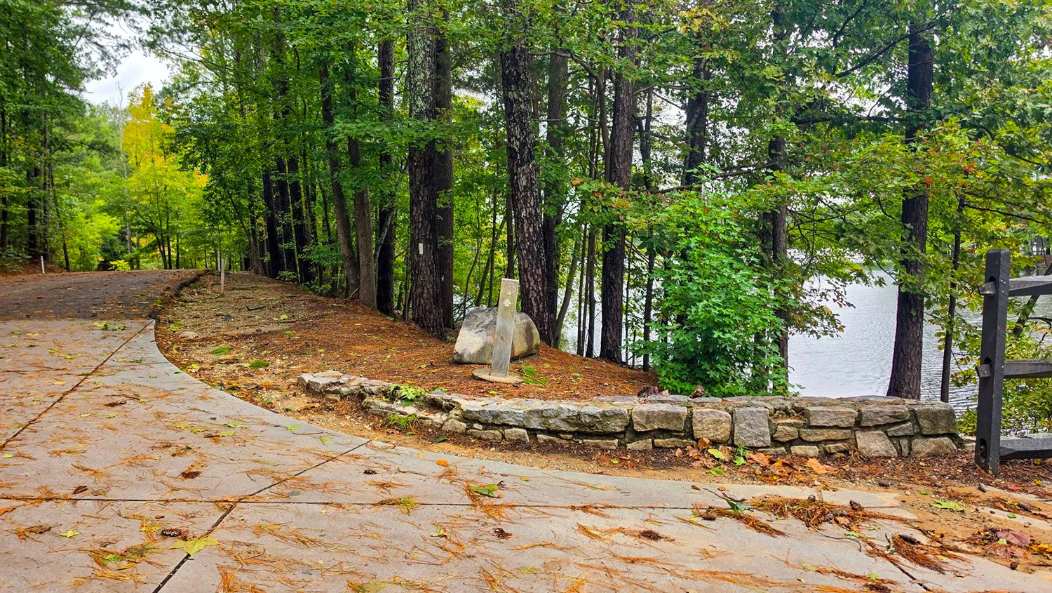
October 11, 2026, 10:00 AM, mile 0.0. The start, at the mainland end of the covered bridge, with a trail post on the rock and a white blaze on the pine behind it.
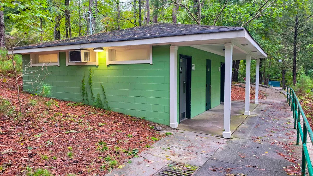
October 11, 2026, 10:04 AM, mile 0.3. The restroom at the Grist Mill, a few steps off the trail.
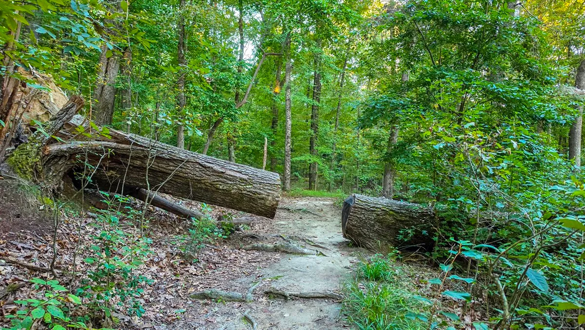
September 26, 2026, 7:59 AM, mile 1.7. A fallen tree, cut back just far enough to leave the path open.
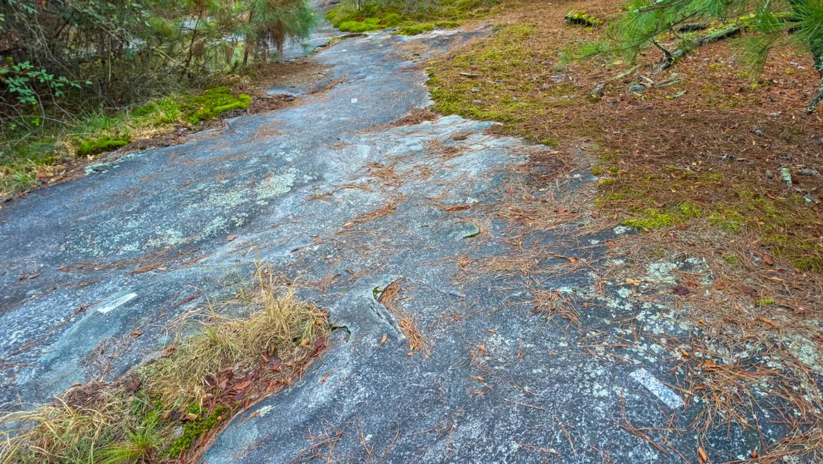
September 26, 2026, 8:03 AM, mile 1.9. The turn people miss. From either direction, the white blazes painted on the rock lead off the straight path and up the granite as one line. If you are not looking down, you keep going straight onto the connector.
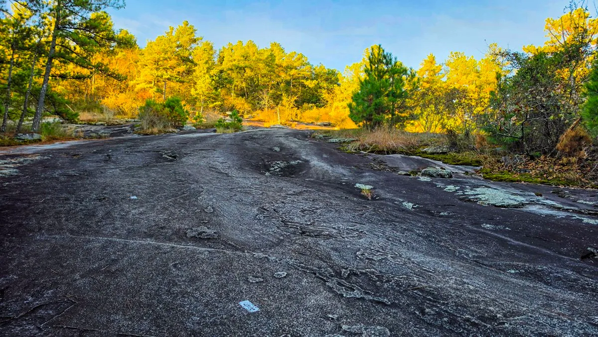
September 26, 2026, 8:04 AM, mile 1.9. An open stretch of granite in the low morning sun.
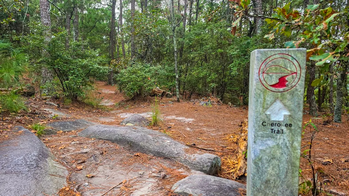
October 2, 2026, 8:24 AM, mile 2.1. The Cherokee Trail post where the trail crosses the Walk-Up Trail, at the top of the climb up the west side.
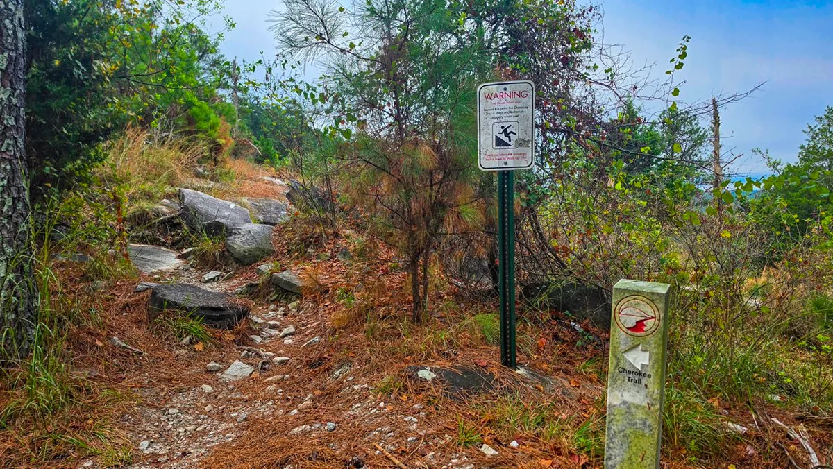
October 2, 2026, 8:27 AM, mile 2.2. Just past the Walk-Up Trail, a warning sign where the steep way down begins.
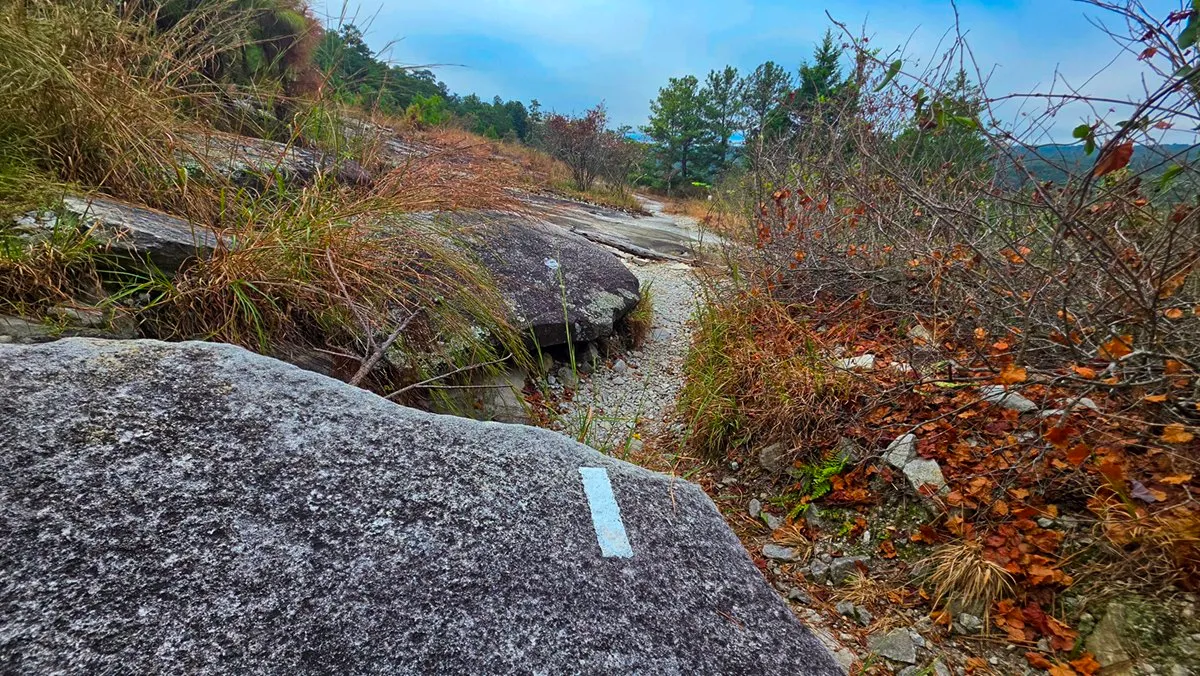
October 2, 2026, 8:27 AM, mile 2.2. From here the white blazes are painted on the rock.
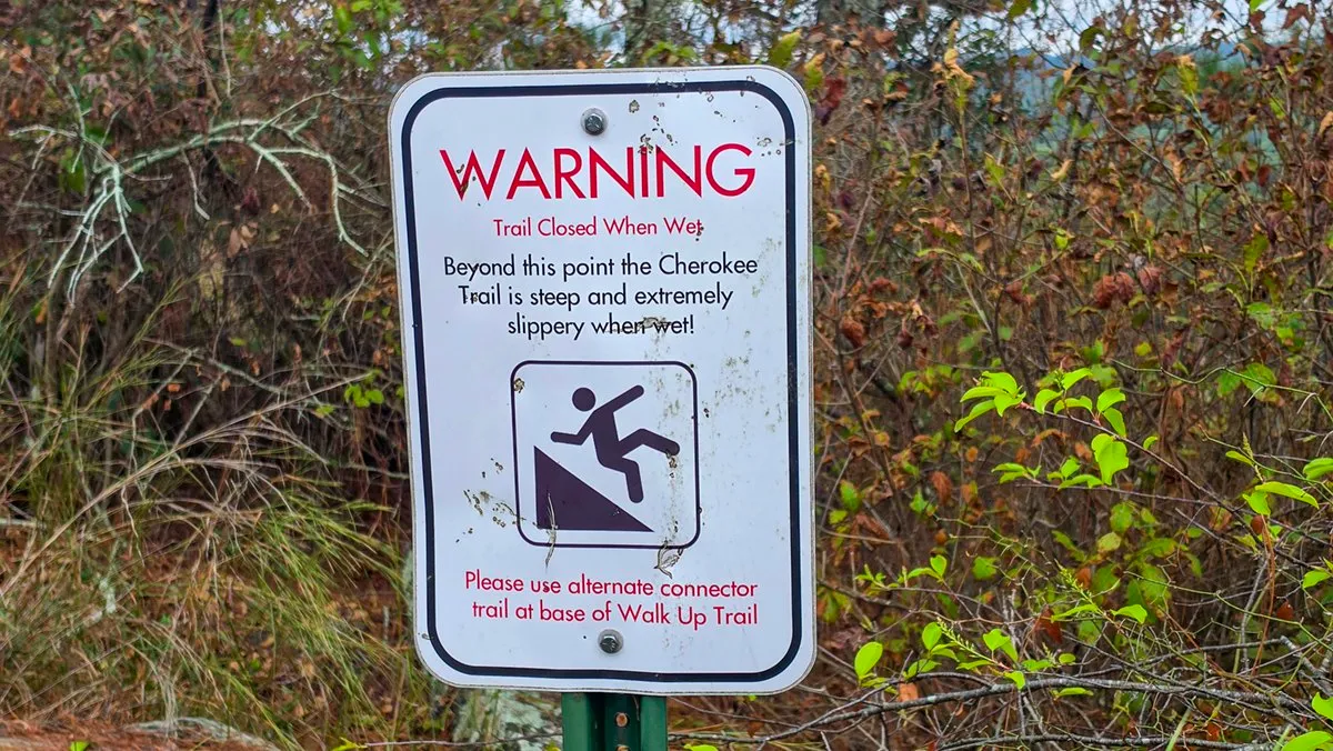
October 2, 2026, 8:29 AM, mile 2.3. The sign: the trail is closed when wet, steep and extremely slippery, and the connector at the base of the Walk-Up Trail is the way around.
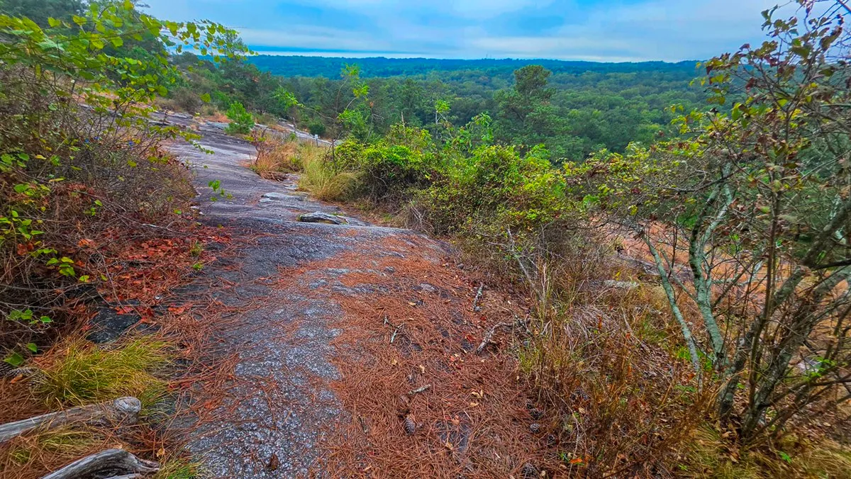
October 2, 2026, 8:29 AM, mile 2.3. The way down the granite, with the view opening up ahead.
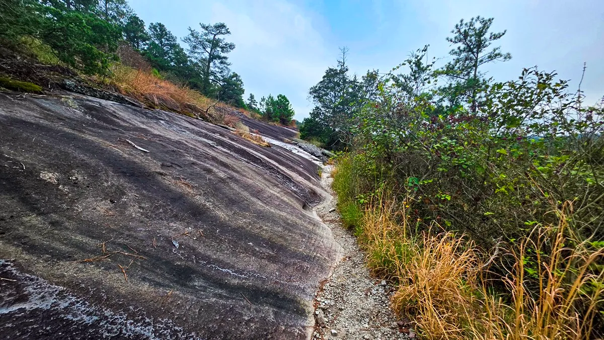
October 2, 2026, 8:33 AM, mile 2.4. A narrow gravel path along the sloping granite.
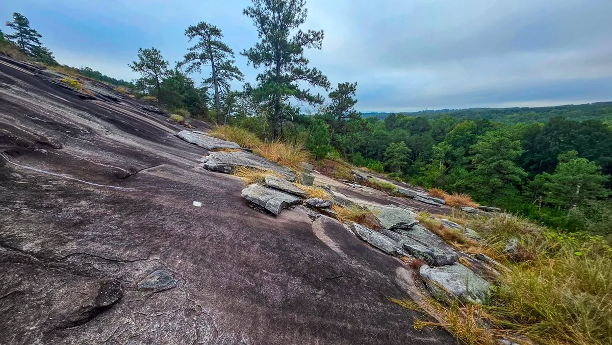
October 2, 2026, 8:34 AM, mile 2.4. Loose stones on the sloping rock. In places I walk sideways here.
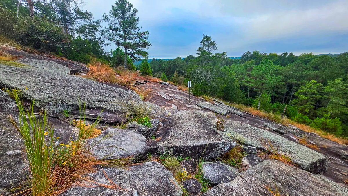
October 2, 2026, 8:36 AM, mile 2.4. Broken ledges of granite near the bottom of the slope.
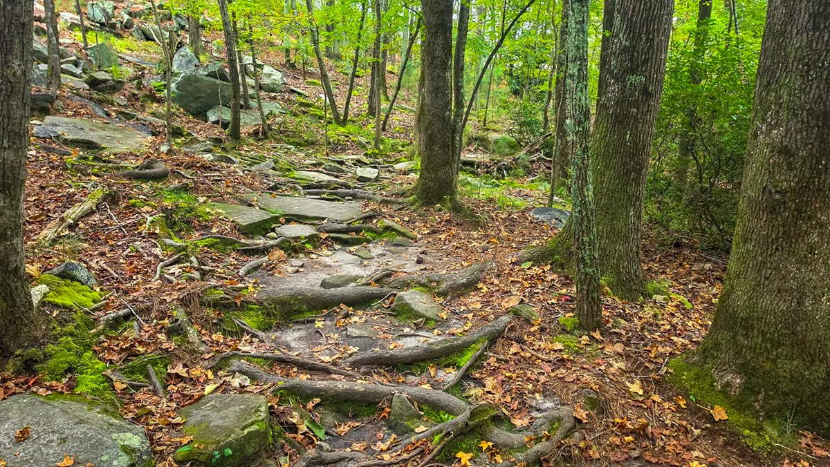
October 2, 2026, 8:41 AM, mile 2.5. Off the rock and into the woods, over roots and stones.
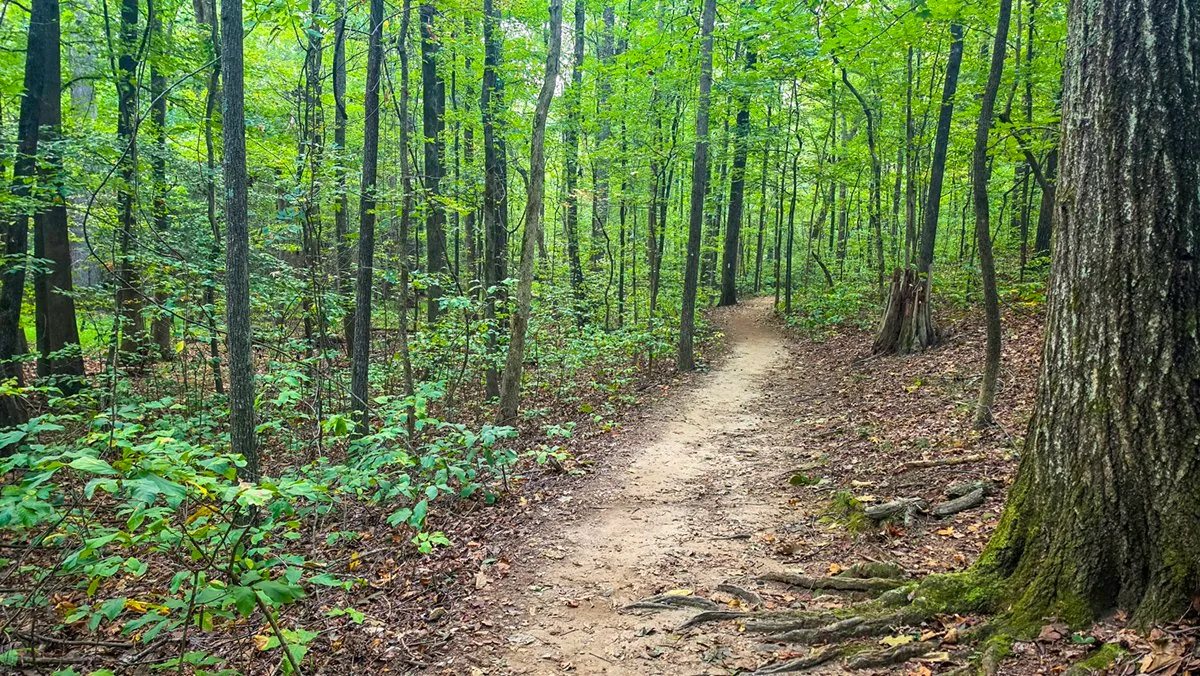
October 2, 2026, 8:49 AM, mile 3.0. The quiet stretch at the bottom, which always feels cooler than the rest of the trail.
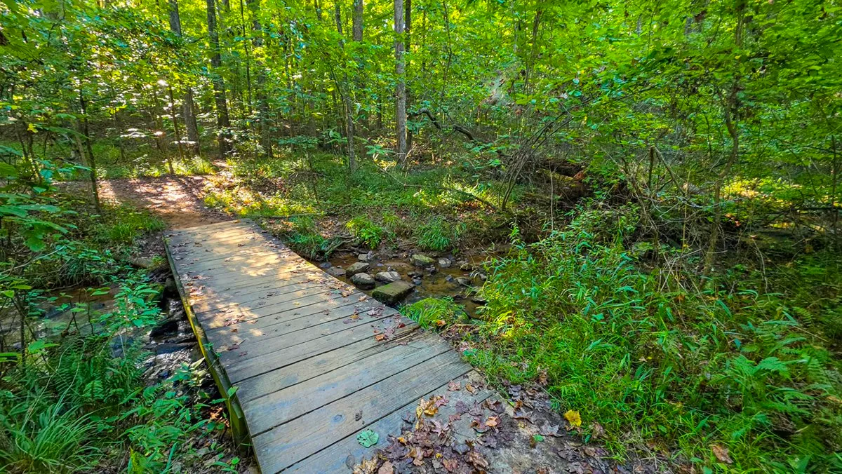
September 26, 2026, 9:44 AM, mile 3.2. A footbridge over a stream on the south side.
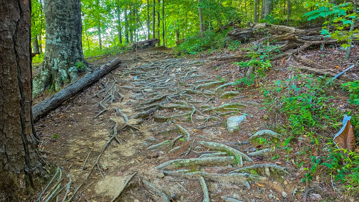
September 26, 2026, 9:53 AM, mile 3.7. Roots across the trail beside Venable Lake.
From the Trail
The Views
What I stop for on the way around, each from a morning in the log.
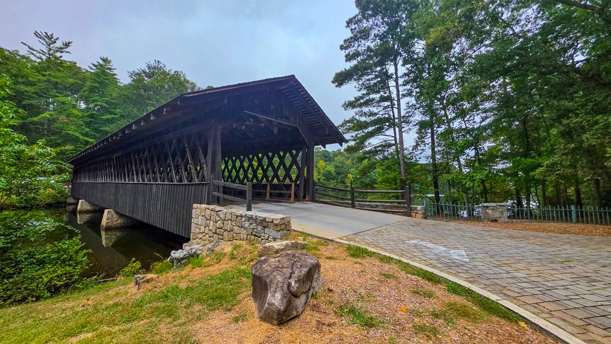
October 2, 2026, 10:15 AM, mile 0.0. The covered bridge to Indian Island. The trail runs past its mainland end, where the loop starts and ends.
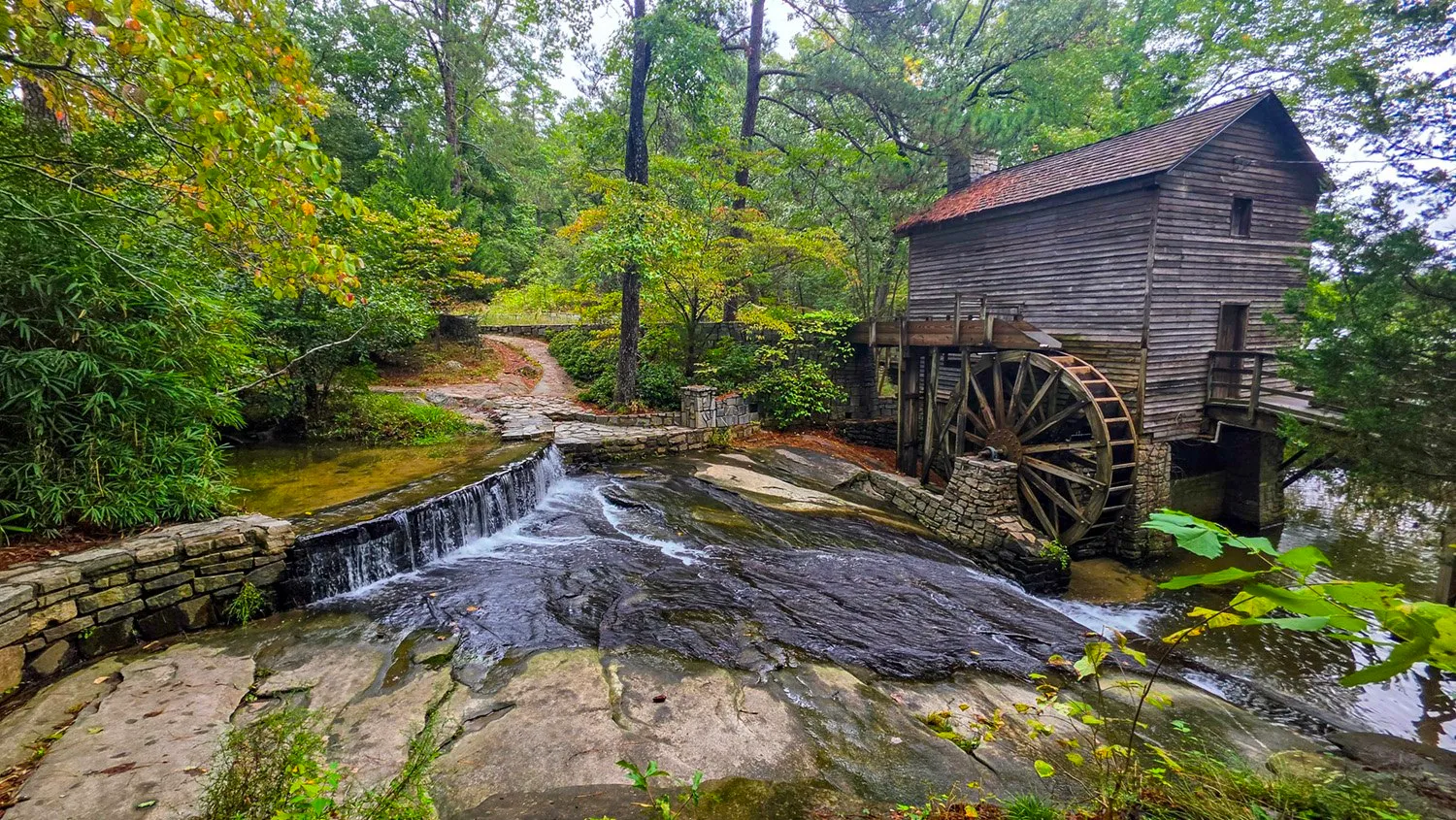
October 11, 2026, 10:06 AM, mile 0.3. The Grist Mill and its waterwheel, with the spillway running over the granite below it.
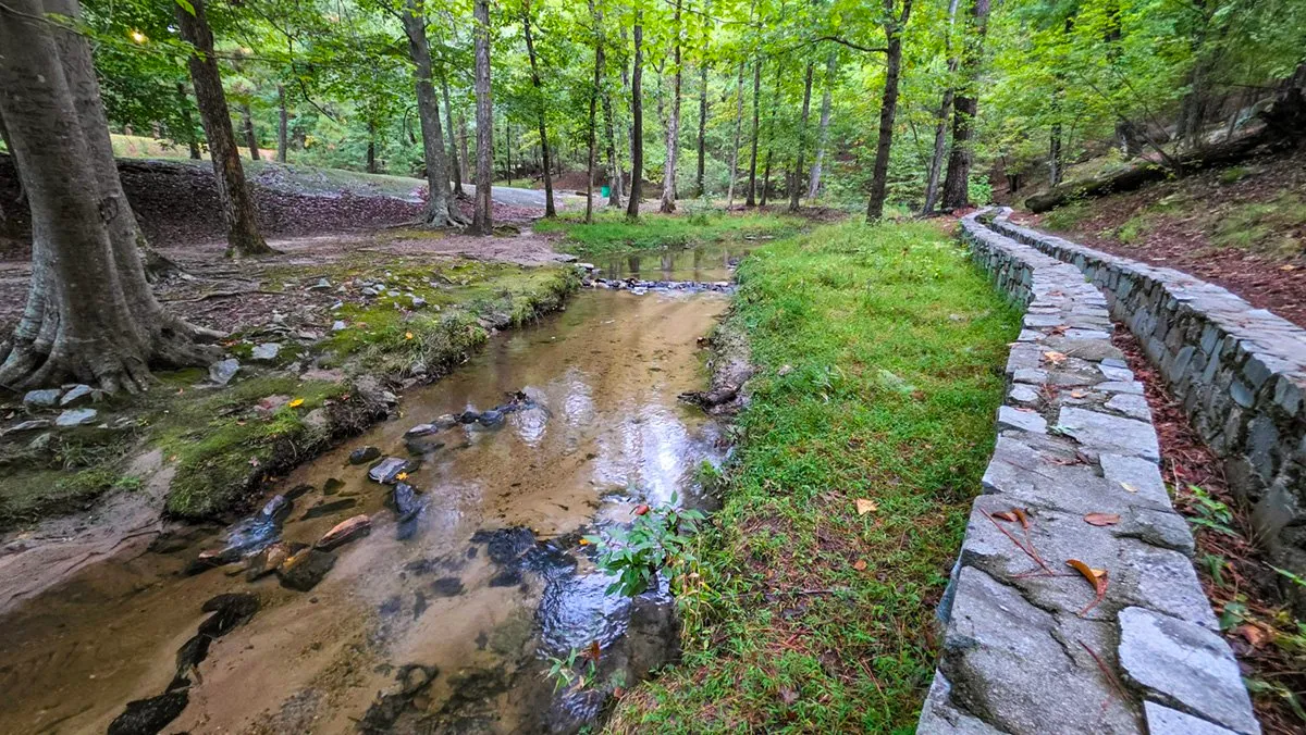
October 11, 2026, 7:47 AM, mile 0.5. A shallow stream through the woods a short way past the Grist Mill, beside a stone wall.
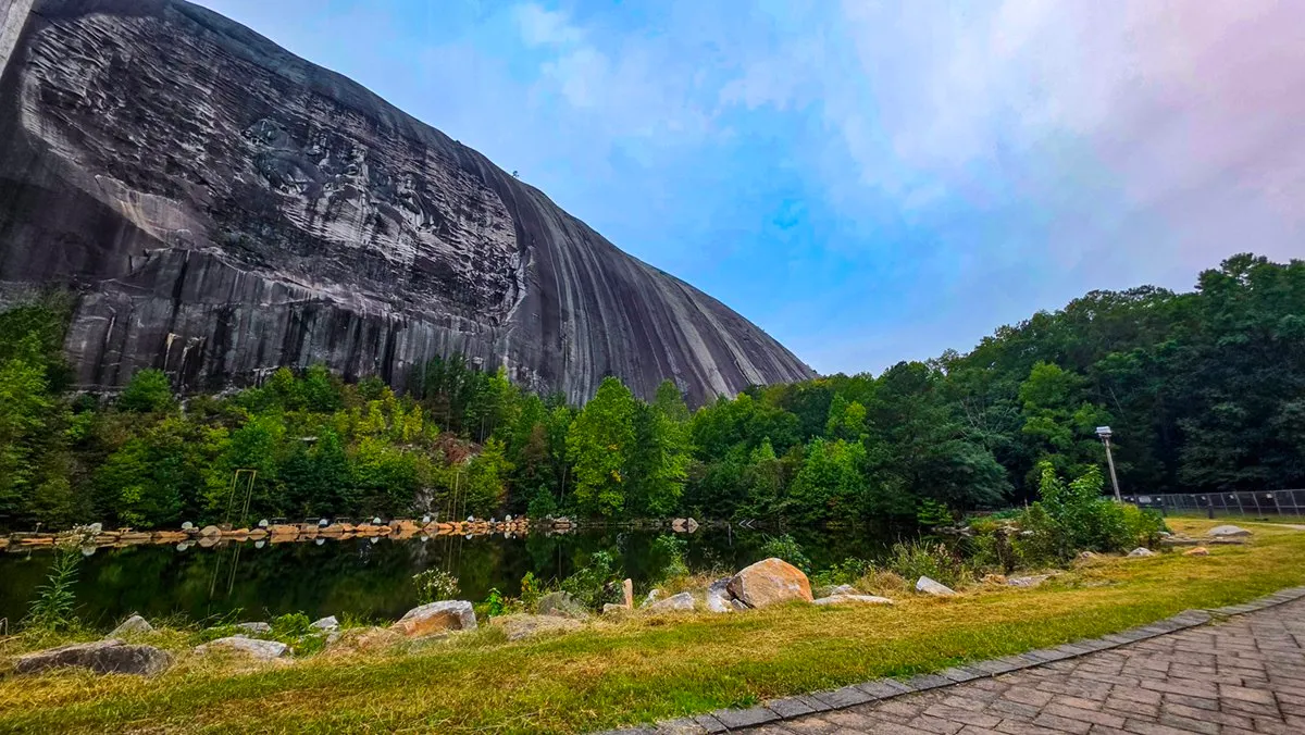
October 2, 2026, 7:53 AM, mile 1.1. The north face of the mountain and its carving, across the pond beside the trail.
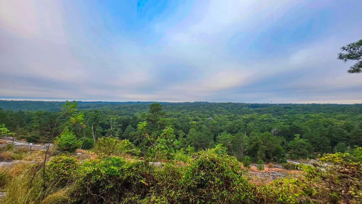
October 2, 2026, 8:29 AM, mile 2.3. The view from the granite on the west side, over the treetops to the horizon. Few people come this way to see it.
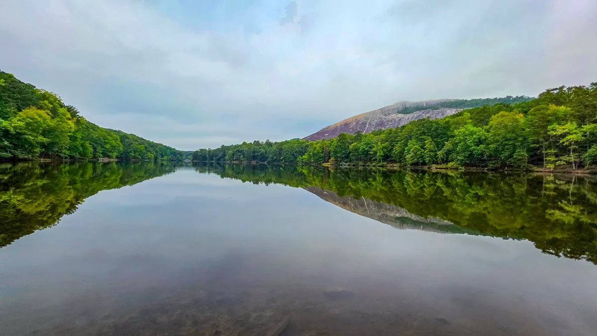
October 2, 2026, 9:17 AM, mile 4.2. The mountain over Venable Lake from its east end.
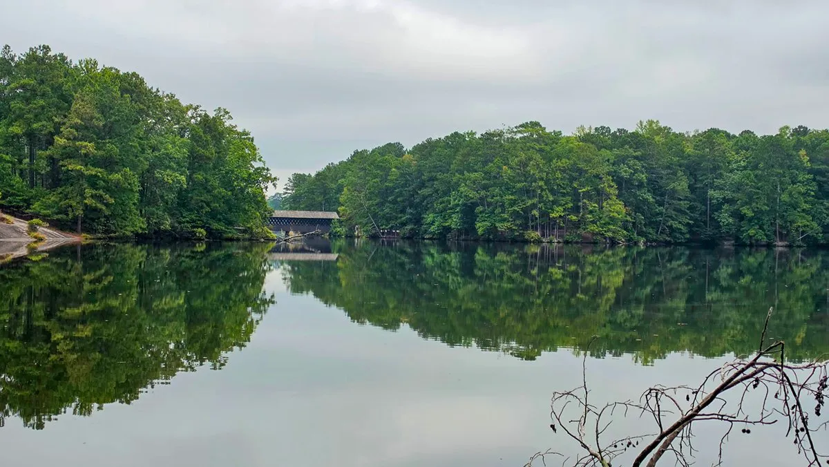
October 2, 2026, 10:07 AM, mile 4.8. The covered bridge from across Stone Mountain Lake, near the end of the loop.
Virtual Tour
Cherokee Trail in 3D
Cherokee Trail in three dimensions: turn it, tilt it, zoom in, or follow the route along the ground.
366 KB on a computer, 103 KB on a phone. Needs WebGL2 and a script; nothing loads until the tap.
Click the terrain, then scroll to zoom
From the Recording
By the Numbers
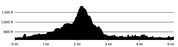
One walk, the one on the map: my recording of October 2, 2026, from where it began to where it closed, leaving out the out-and-back to my sunrise spot on the shore and a lap of the Venable Lake Loop. The distance is the watch's track; "on the move" counts the time walked at 1 km/h or faster, so standing still for a photograph does not count, and "clock to clock" keeps the stops. The climb is read from the USGS grid, counting every rise of 10 ft or more. These are one walk's numbers, not a median over the log. The Cherokee Trail conditions and hike log has 162 logged mornings, the latest conditions and the trail month by month.
Asked Often
Questions and Answers
How long is the Cherokee Trail?
5.10 miles as I walked it on October 2, 2026, about 108 minutes of walking or 127 with stops.
How much climbing is there?
414 feet in all, counting every rise of 10 feet or more on the USGS elevation grid, and 328 feet between the lowest and highest points.
Where do you park for the Cherokee Trail?
At the Indian Island lot, just across the covered bridge: 21 spaces, 2 of them accessible, and 3 more just past the covered bridge, on the mainland side. Overflow: the four Grist Mill lots, close to 100 spaces by my estimate.
Is the Cherokee Trail marked?
Yes, with white blazes all the way around. The connecting trails are marked orange or yellow. On the northwest side, where the Cherokee starts up the mountain, the blazes are painted on a slab of granite at your feet. Look down there: the path straight ahead is a connecting trail.
Does the Cherokee Trail go to the top of Stone Mountain?
No. It goes around the base, and on the west side it climbs part of the way up. The Walk-Up Trail goes to the top.
Is there a waterfall on the Cherokee Trail?
No. The Grist Mill has a short spillway beside its waterwheel, and after heavy rain the streams on the south side run fast over the rocks, but there is no real waterfall on the loop.
Are there restrooms on the Cherokee Trail?
The park says there are none along the trail, but there is one right beside it at the Grist Mill, just north of the covered bridge. There are also restrooms at the playground near the west end of Venable Lake, a short backtrack off the trail and open only when the playground is. The park also names the restrooms at the Historical & Environmental Education Center and the Nature Garden lot.
Do I have to walk the whole loop?
No. There is parking almost everywhere around the mountain, so you can park at any lot and walk a piece of it in and out.
Is the Cherokee Trail hard?
The park rates it moderate, and most of it is. The steep west side is the exception, the hardest stretch of any trail in the park. Walk it only when it is dry, or go around it on the orange connecting trail.
Can I bring my dog?
Yes, on a leash of 6 feet or less. The park allows dogs everywhere except the Songbird Habitat trails, the attractions and posted areas.
Can I ride a bike on the Cherokee Trail?
No. Bikes stay on the park's paved roads, and the loop road around the mountain has bike lanes.
Before You Go
A Word on the Rules
Bikes stay on the paved roads. That is the park's rule, and for good reason. Roots turn a wheel in an instant, tires rut a trail this soft, and the loop road already has bike lanes and one-way car traffic.
Wear proper shoes. There is exposed granite on almost every trail in the park, and it gets slick when it is wet or under pine straw. At the very least, wear shoes with good tread. Don't be the hiker who slips and needs a medevac helicopter to Grady; those flights are expensive.
Dogs are welcome on a leash of 6 feet or less. They are not allowed on the Songbird Habitat trails, at the attractions or in posted areas.
How This Page Was Made
The Record
The words and the lists are mine. The numbers are not typed: the distance, the time and the climb are measured from my recording of October 2, 2026, cut from where the walk began to where it closed, and the elevation comes from the USGS grid, not the watch. Each photograph is from a morning in the log, placed by its own GPS or by the watch's track at the moment it was taken, as the methods page describes.
Sources
- Cherokee Hiking Trail, Stone Mountain Park (the park's distance, time and rating, its two trailheads, and its word that there are no restrooms along the trail)
- Rules, Stone Mountain Park (dogs and bicycles)
- Restrooms near the trail, OpenStreetMap contributors (the restroom building at the Grist Mill, under the Open Database License)
- 3D Elevation Program, U.S. Geological Survey (the elevation grid under the map and the profile)