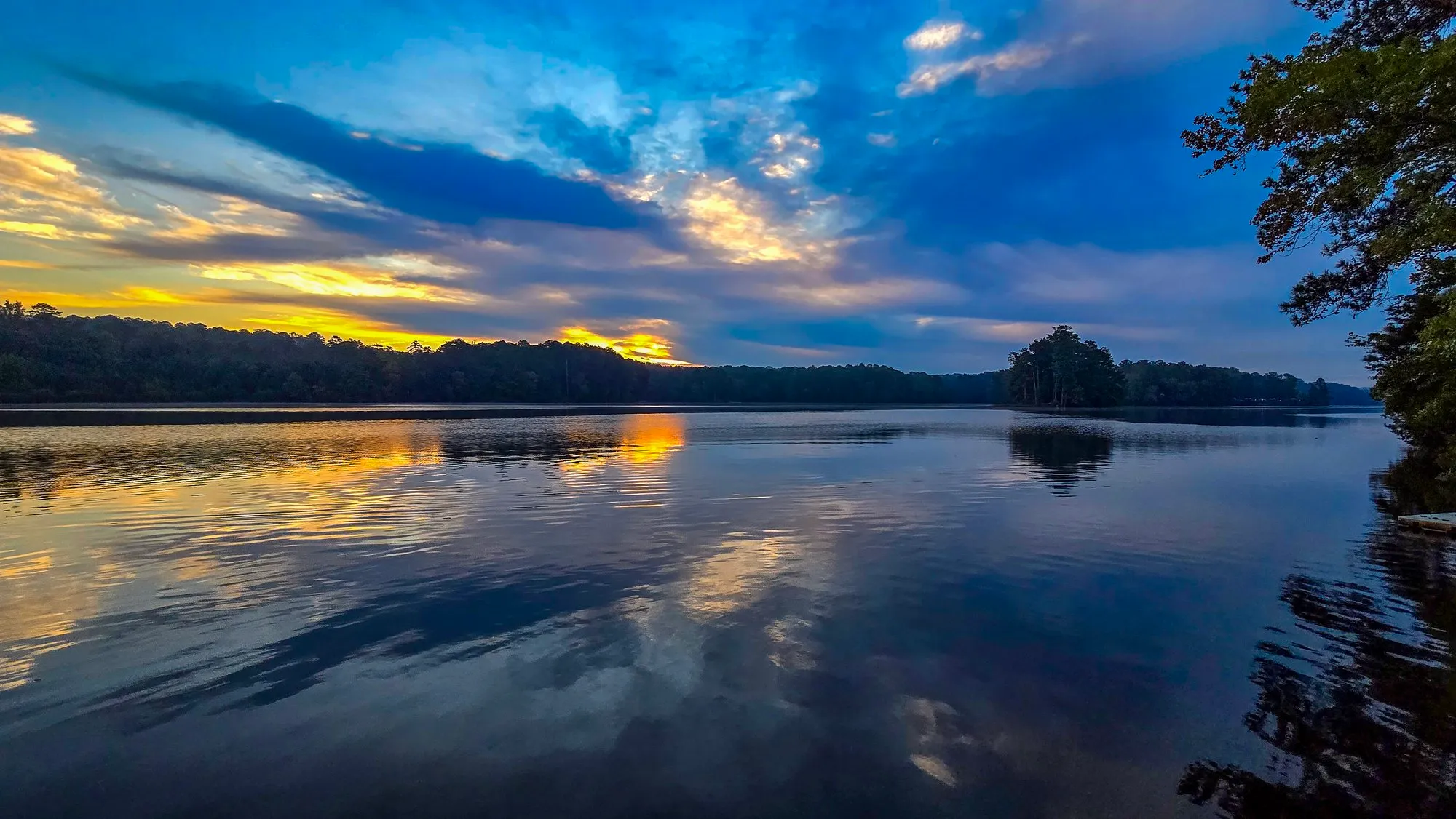
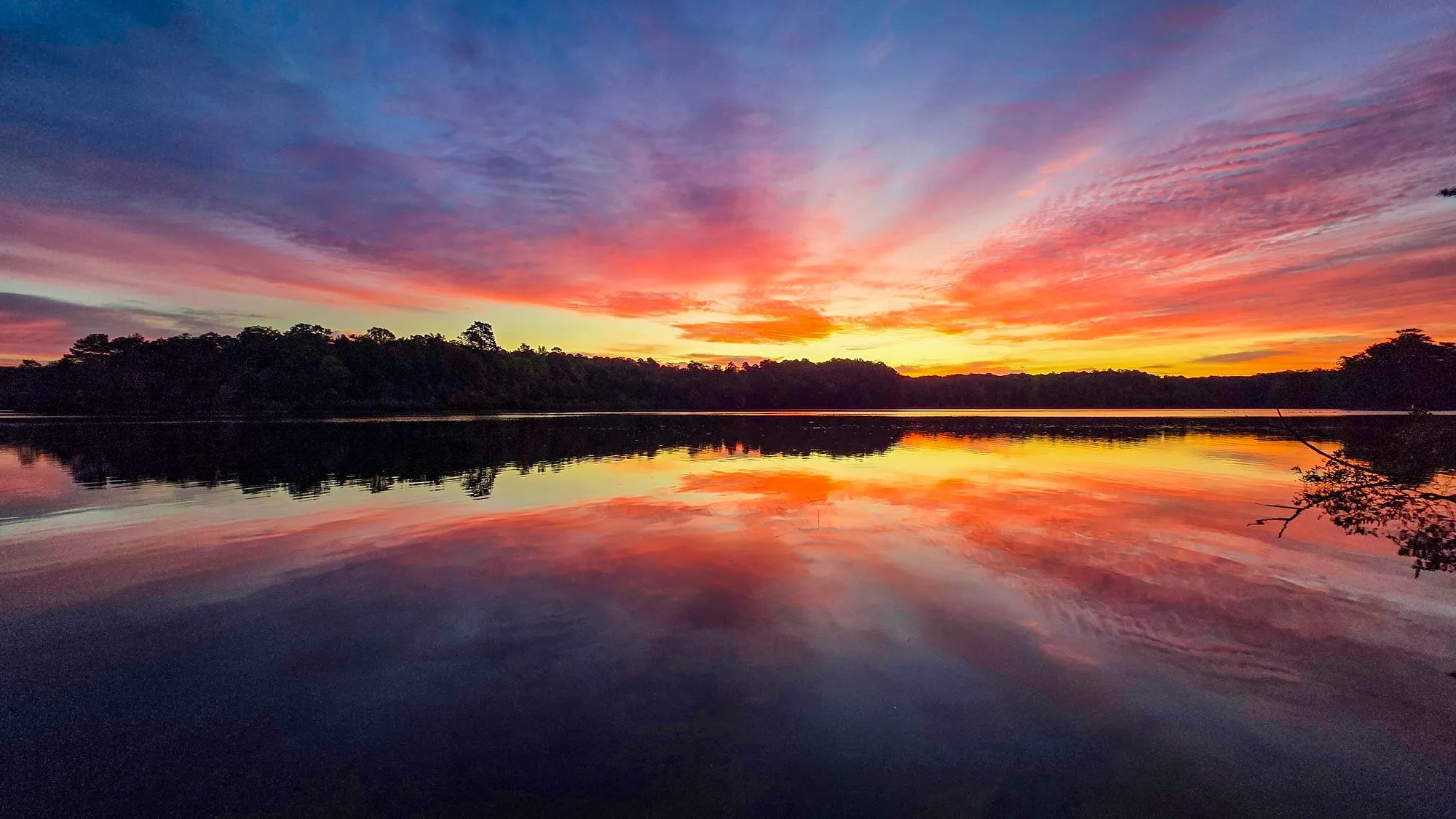
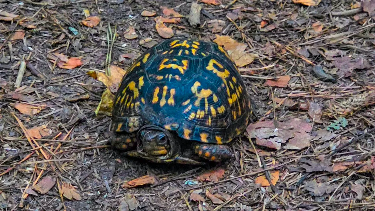
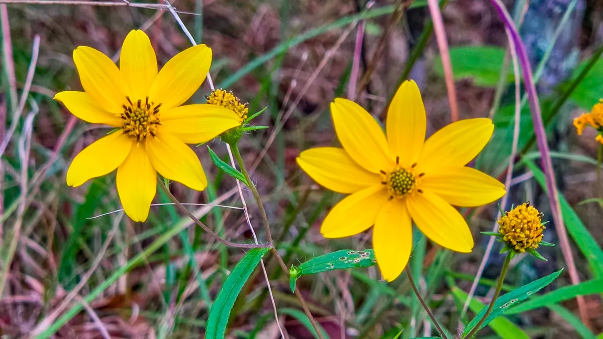
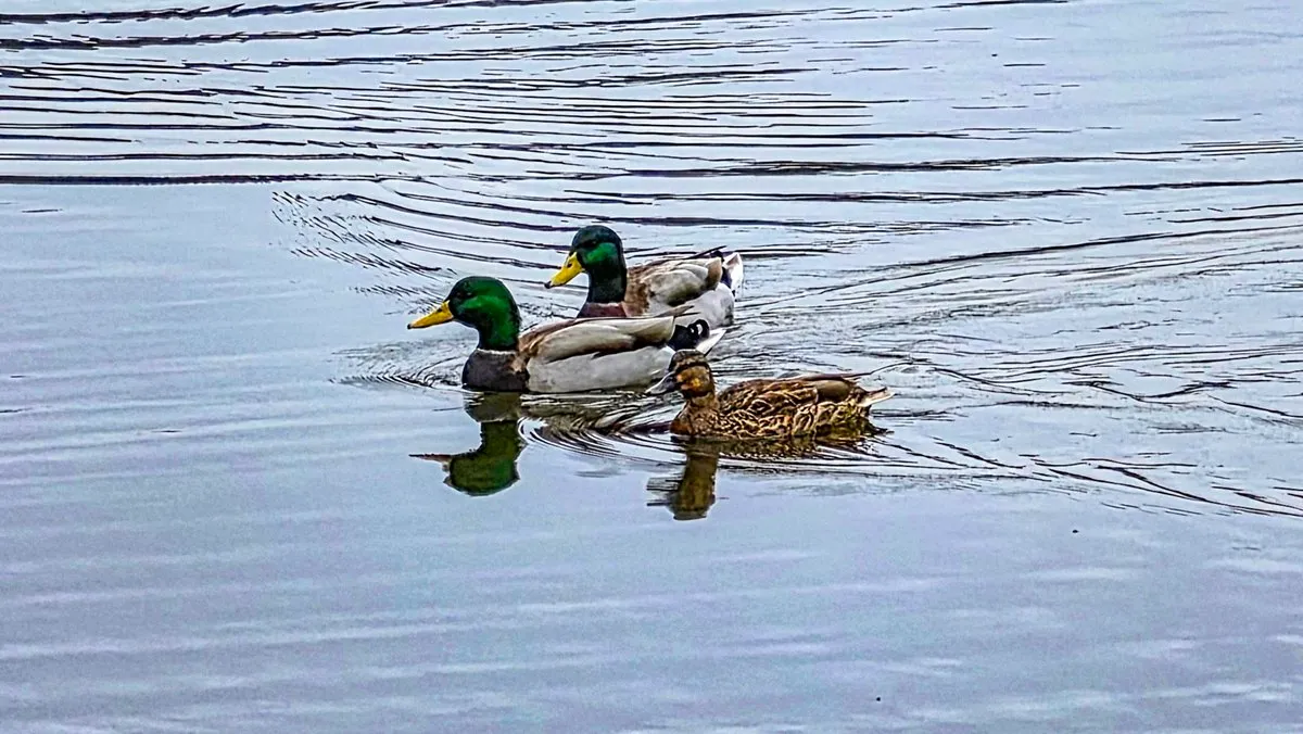
Rain is due Saturday and Sunday, so I went a day early, around Indian Island at the start and again at the end. Overcast at sunrise, low cloud across the whole sky and no color in it. They finally cleared the tree over the railroad tracks near the carving, about four weeks after it fell. A box turtle in the leaves, the yellow daisy in bloom and three mallards on the water.
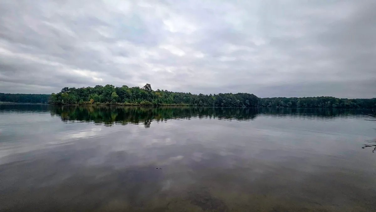
- Camera
- Samsung Galaxy S26 Ultra
- Focal
- 13 mm eq.
- Aperture
- f/1.9
- Shutter
- 1/120
- ISO
- 250
- Taken
- 7:28 AM
- Sunrise
- 4 min before
- Color index
- 10.4
What the Watch Saw
The Numbers
Elevation from the watch: 5-point median, then only climbs over 3 m count. Moving time drops stretches under 1 km/h.
Where It Went
Route and Profile
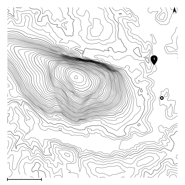
13,423 GPS points, drawn from 315 of them. Pins mark where the photos were taken.
Download the GPX (1.4 MB): the recorded track, heart rate removed. Open data, CC BY 4.0.
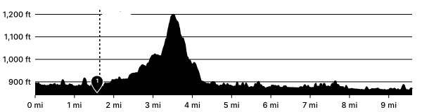
Elevation in feet against distance in miles. The dashed line is where the track was at sunrise. Pins mark where the photos were taken.
| Mile | Passed | Split | Climb |
|---|---|---|---|
| 1 | 7:06 AM | 23:45 | 20 ft |
| 2 | 7:39 AM | 33:49 | 50 ft |
| 3 | 8:04 AM | 24:14 | 111 ft |
| 4 | 8:43 AM | 39:26 | 174 ft |
| 5 | 9:02 AM | 19:09 | 20 ft |
| 6 | 9:22 AM | 19:26 | 61 ft |
| 7 | 9:43 AM | 21:24 | 0 ft |
| 8 | 10:01 AM | 17:59 | 41 ft |
| 9 | 10:22 AM | 20:33 | 0 ft |
| 9.6 | 10:36 AM | 14:37 | 10 ft |
Each mile as the watch recorded it: the clock at the marker, the time it took with stops included, and the climb inside it. The marked row is the one the sun came up in.
The Ground
Route in Relief
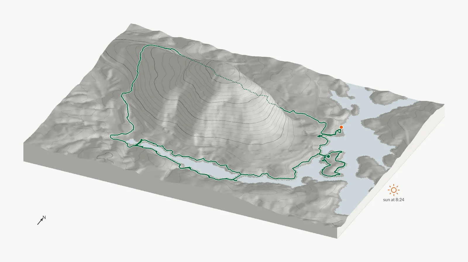
Terrain from USGS 3DEP at 10 m, drawn at 2x vertical scale with contours every 40 ft, seen from the south-southeast. Lit from where the sun stood at 8:24 AM, when the walk reached its highest point: bearing 101°, 10° above the horizon. The green line is the recording draped on the terrain, dotted where the ground hides it (10 percent of the track from this angle). Drawn when the entry was made; nothing runs in the browser.
At Sunrise
Conditions at Sunrise
Cloud cover here is the low and middle layers together, the cloud that hides the sun. High cloud is what a sunrise lights up, so it is counted on its own. Open-Meteo archive (ERA5 and IFS analysis), 8:00 AM. Station KPDK (Atlanta, De Kalb-Peachtree Airport), 10.7 mi away, 7:30 AM: 72°F, sky OVC009, cloudy.
In My Ears
What I Was Listening To
- Alien Olympus (Starship's Mage, book 19) by Glynn Stewart. From about 77% to the end: finished on this walk.
From Audible's listening time for the day, which does not say which book: the book comes from the order I heard them in, and how far through it is an estimate. How it is worked out.
In the Pack
What Came Along
What was in service on this date, by the dates on the gear page. Buy links are affiliate links; see the disclosure.
- Canon EOS R7 The camera on every walk. In the kit since at least February 17, 2024, the day the review went up; the exact day it went into service is not recorded. Amazon The Review
- Canon Mount Adapter EF-EOS R What lets the EF-mount Tamron sit on the R7. In the kit since at least February 20, 2024.
- Tamron 18-400mm F/3.5-6.3 Di II VC HLD One lens for the whole loop, 18 to 400 mm, on the adapter. In the kit since at least February 20, 2024, the review date. Amazon The Review
- Danger Buddies S-Curve camera sling strap Keeps the R7 on my hip instead of swinging on the trail. In the kit since at least March 20, 2024, the review date. Amazon The Review
- Lowepro Slingshot Edge 250 AW The sling that carries the R7 and the lens, with the all-weather cover. In the kit since at least April 15, 2024, the review date. Amazon The Review
- Insta360 Extended Edition selfie stick (3 m) Ten feet of carbon for the Insta360, the drone shot without a drone. In the kit since at least May 22, 2024, when it went to Alaska. Amazon The Review
- Brooks Cascadia 18 On my feet every morning since June 14, 2025, the day I retired the pair before it, also a Cascadia 18. When that pair went into service is not recorded, so its miles are not counted anywhere. Same shoe again; the last pair earned it. Amazon
The full kit, with the mornings and miles on each item.
Same Sky
Mornings That Looked Like This
The three sunrises in the log whose sky colors sit nearest this morning's, by the five-color palette under each photograph, whatever the date or trail.
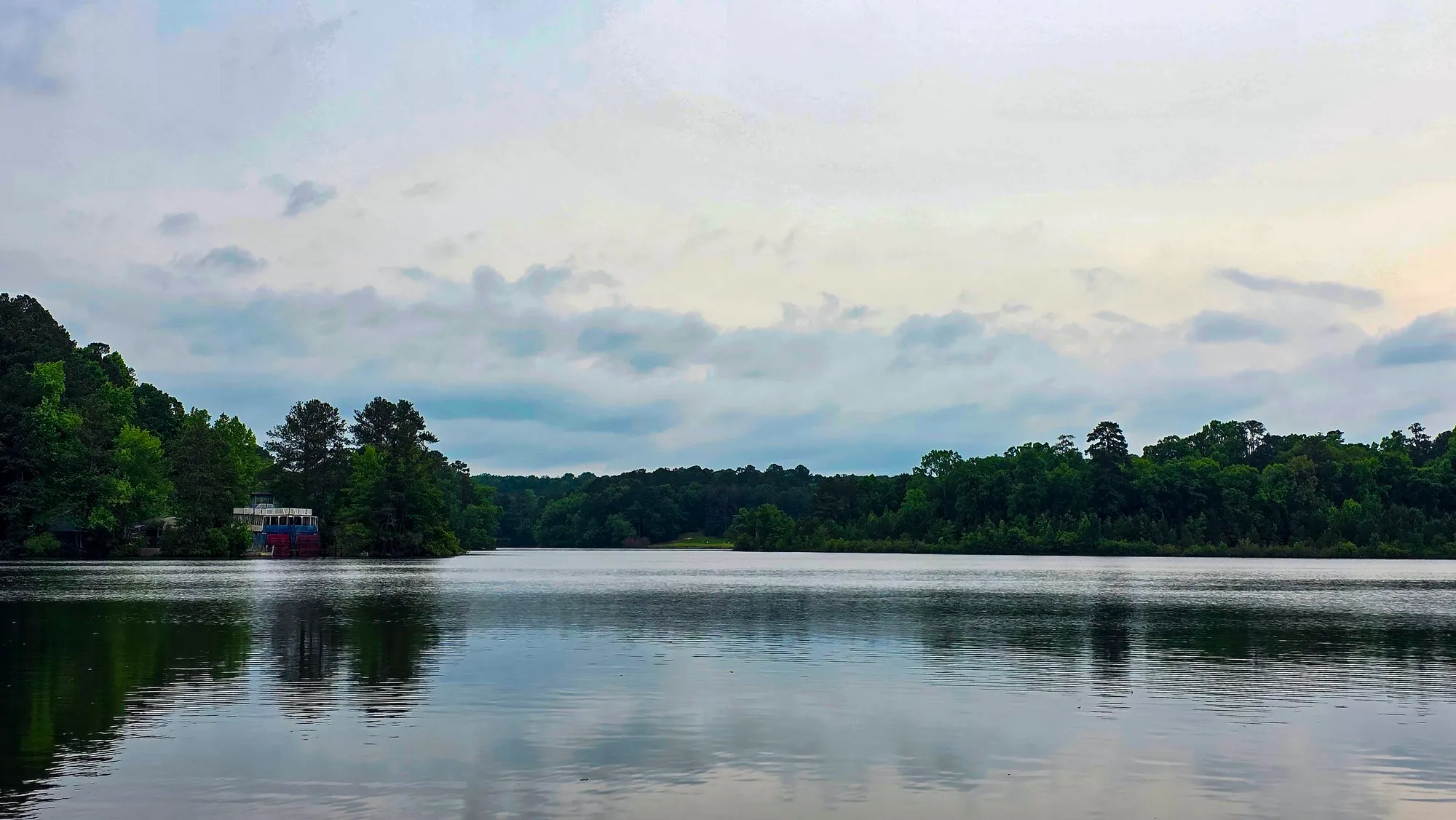 May 17, 2025 Cherokee Trail, Stone Mountain
 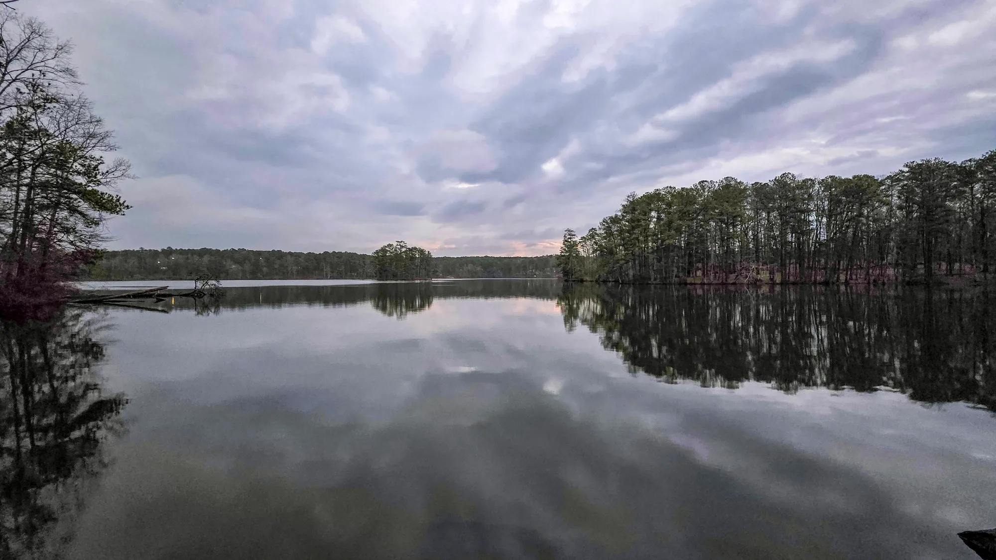 Feb 9, 2025 Cherokee Trail, Stone Mountain
 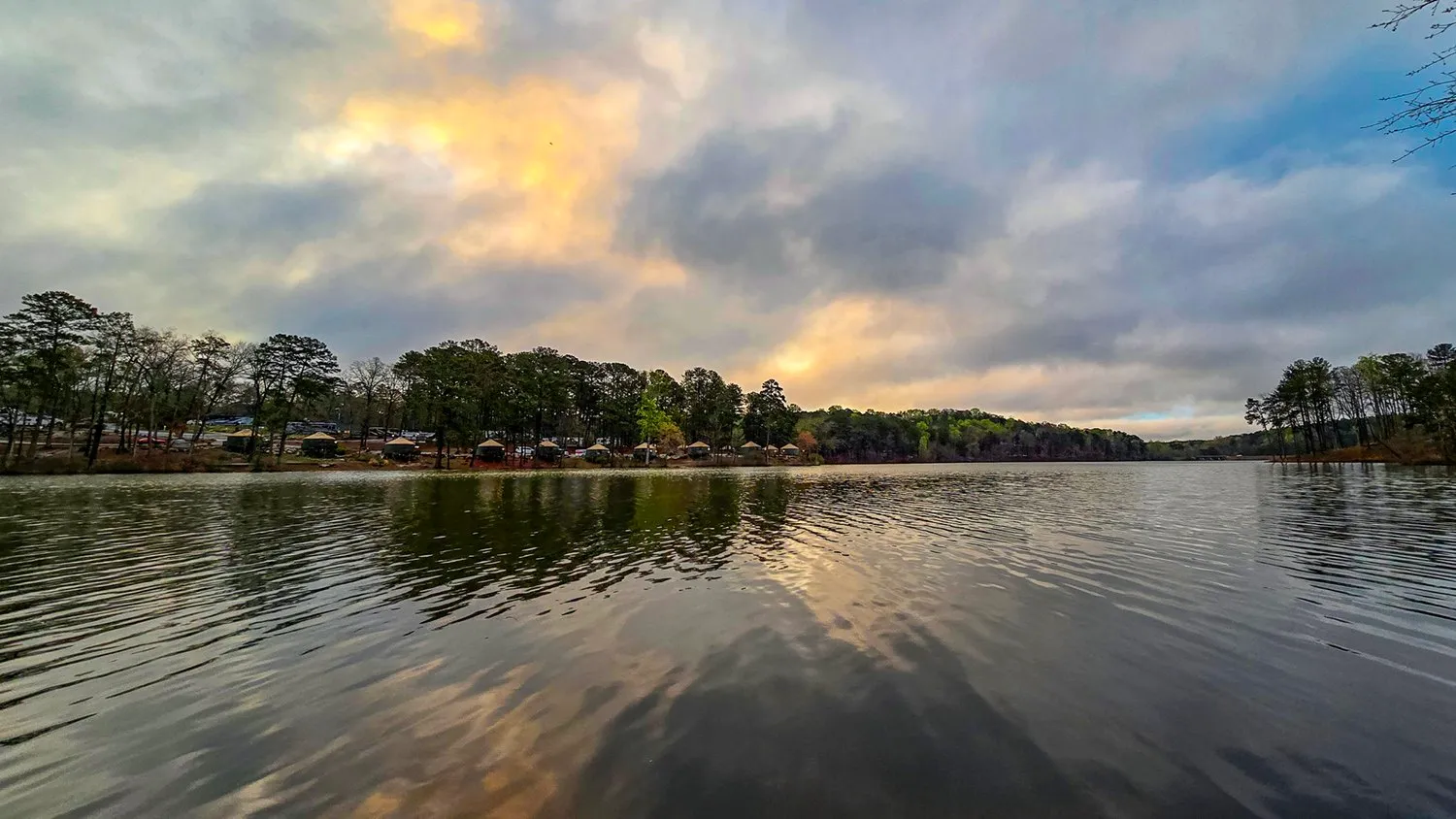 Mar 23, 2024 Cherokee Trail, Stone Mountain
 Other Years
This Morning, Other Years
The nearest logged morning to this date in each other year, within two weeks, from this trail when it has one.