
If I’m short on time, or out with a dog that can’t do a long hike, this is where I go. Indian Island sits in Stone Mountain Lake at the far end of the covered bridge, with the mountain across the water on one side and open lake on the other. The park calls the path around it King’s Trail.
The bridge came from Athens. Washington W. King, son of the bridge builder Horace King, built it over the Oconee River in 1891, and it was taken apart and carried to the park in the 1960s. The park named it for him in 2019, and the trail on the island carries his name too.
Most of my sunrise mornings start in the island lot, so this loop is the part of the park I have walked most. Everything below comes from those mornings: the laps the watch recorded, the photographs taken on the island, and the animals and flowers I found there.
Getting There
Location Detail
Indian Island sits in Stone Mountain Lake, joined to the rest of the park by the covered bridge. Drive across the bridge and the lot is right there on the island. It is small. When it is full, there are bigger lots at the top of the main road, and the Grist Mill has four of its own.
Open the lot in Google Maps. The pin is the middle of where my recordings start.
What to Expect
Trail Details
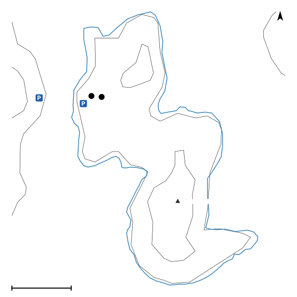
There is more than one path on the island. I take the one that follows the shore, because the view keeps changing: the mountain across the water, the open lake, the woods in between. There are yellow blazes on trees along the shore path (the Cherokee Trail's are white, the Nature Garden Trail's green), and it is hard to get lost on an island anyway: keep walking and you come back to the lot. Parts of the shore path are a little technical, narrow and right on the water, with a lot of roots to step over. Walking it counterclockwise, the way I do, most of that comes in the first half. The climb to the high point is not nothing, and there is a little overlook up there, though the trees usually block the view.
The Numbers
The Positives
The Negatives
Underfoot
On the Trail
What the trail itself is like, in the order the walk reaches it.
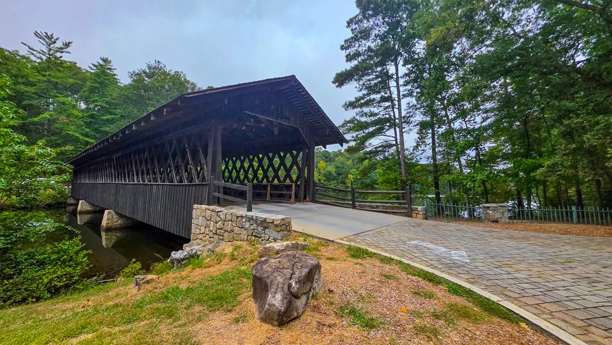
October 2, 2026, 10:15 AM, mile 0.0. The covered bridge from the island end.
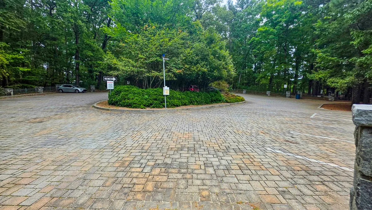
October 2, 2026, 10:15 AM, mile 0.0. The lot on the island, just across the bridge.
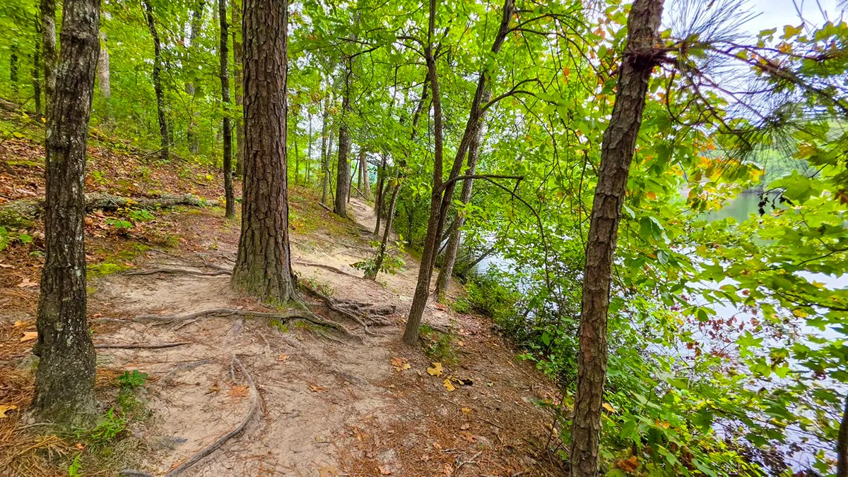
October 2, 2026, 10:18 AM, mile 0.2. Roots on the shore path, with the lake through the trees.
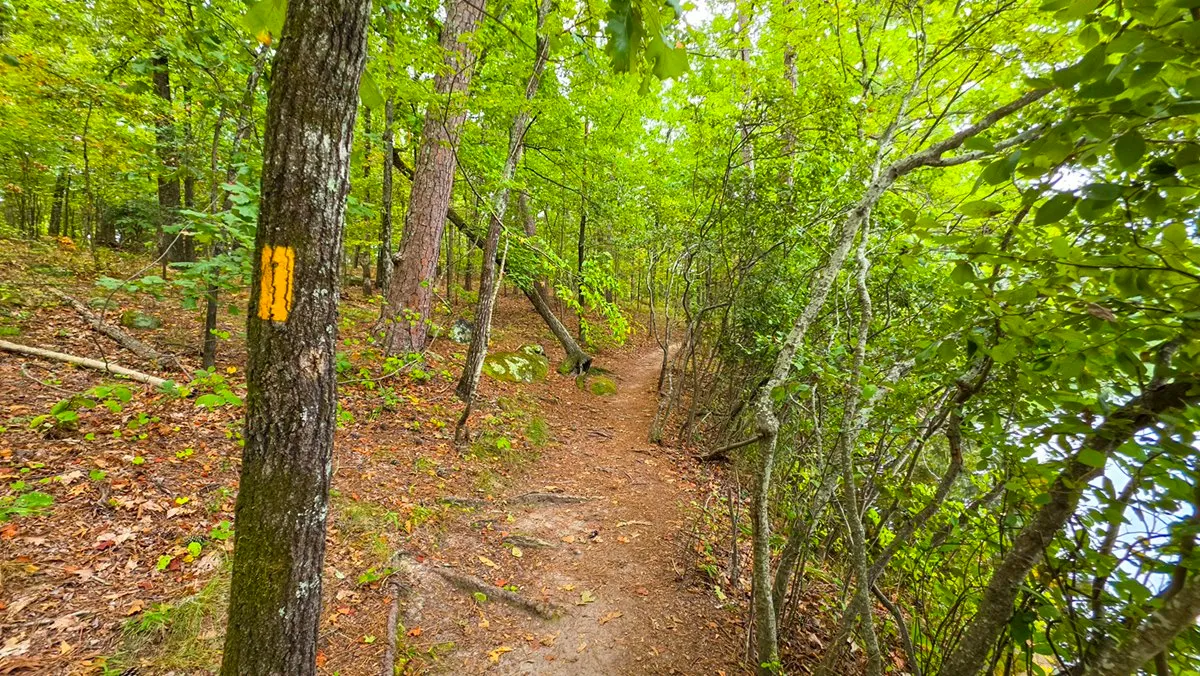
October 2, 2026, 10:18 AM, mile 0.2. One of the yellow blazes on the shore path.
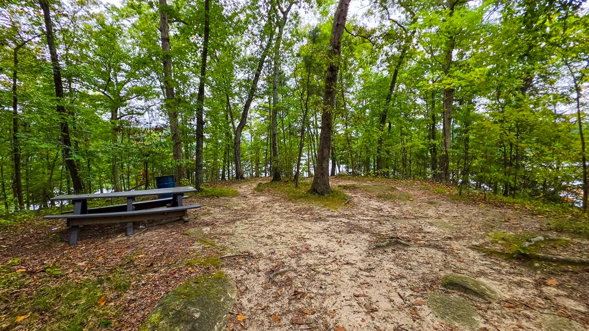
October 2, 2026, 10:31 AM, mile 0.7. A picnic table near the high point.
From the Trail
The Views
What I stop for on the way around, each from a morning in the log.
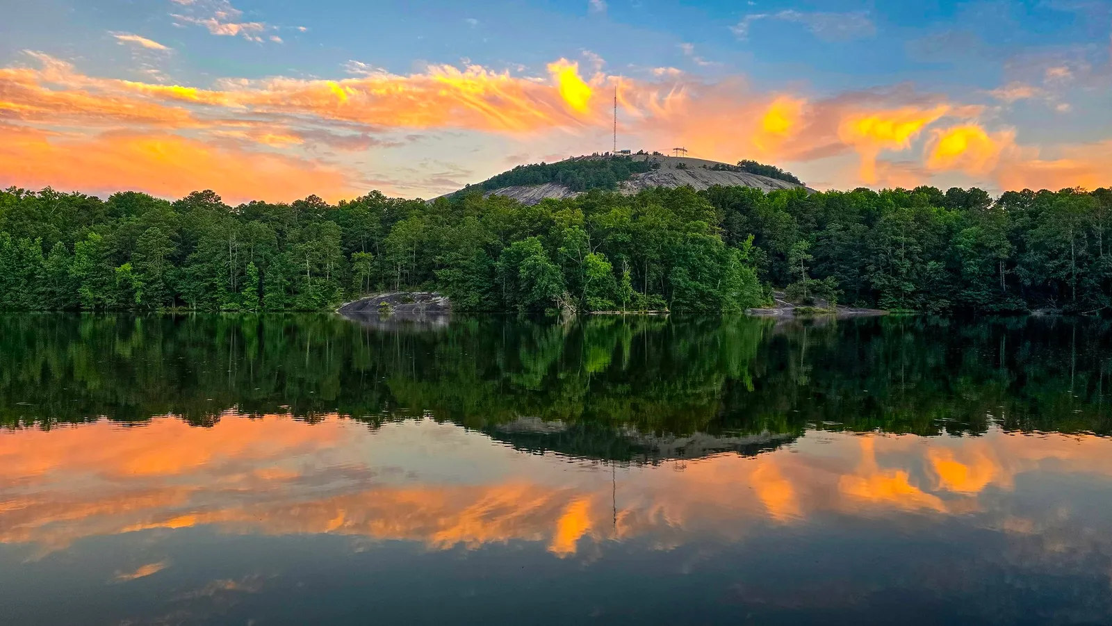
June 22, 2024, 6:24 AM. Stone Mountain across the water from the south shore of the island.
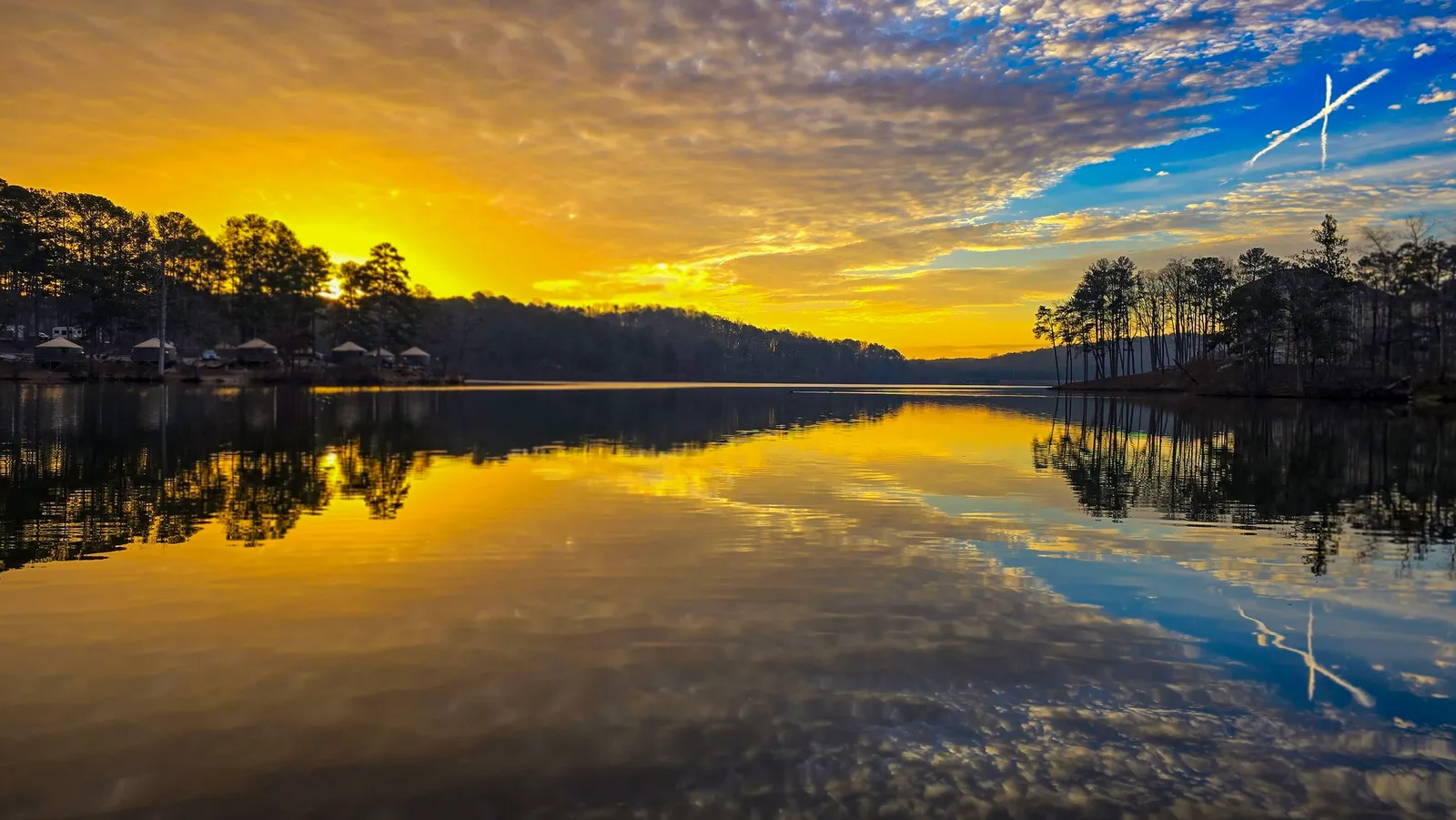
February 10, 2024, 7:43 AM. The campground across the lake from the east shore, under a yellow dawn.
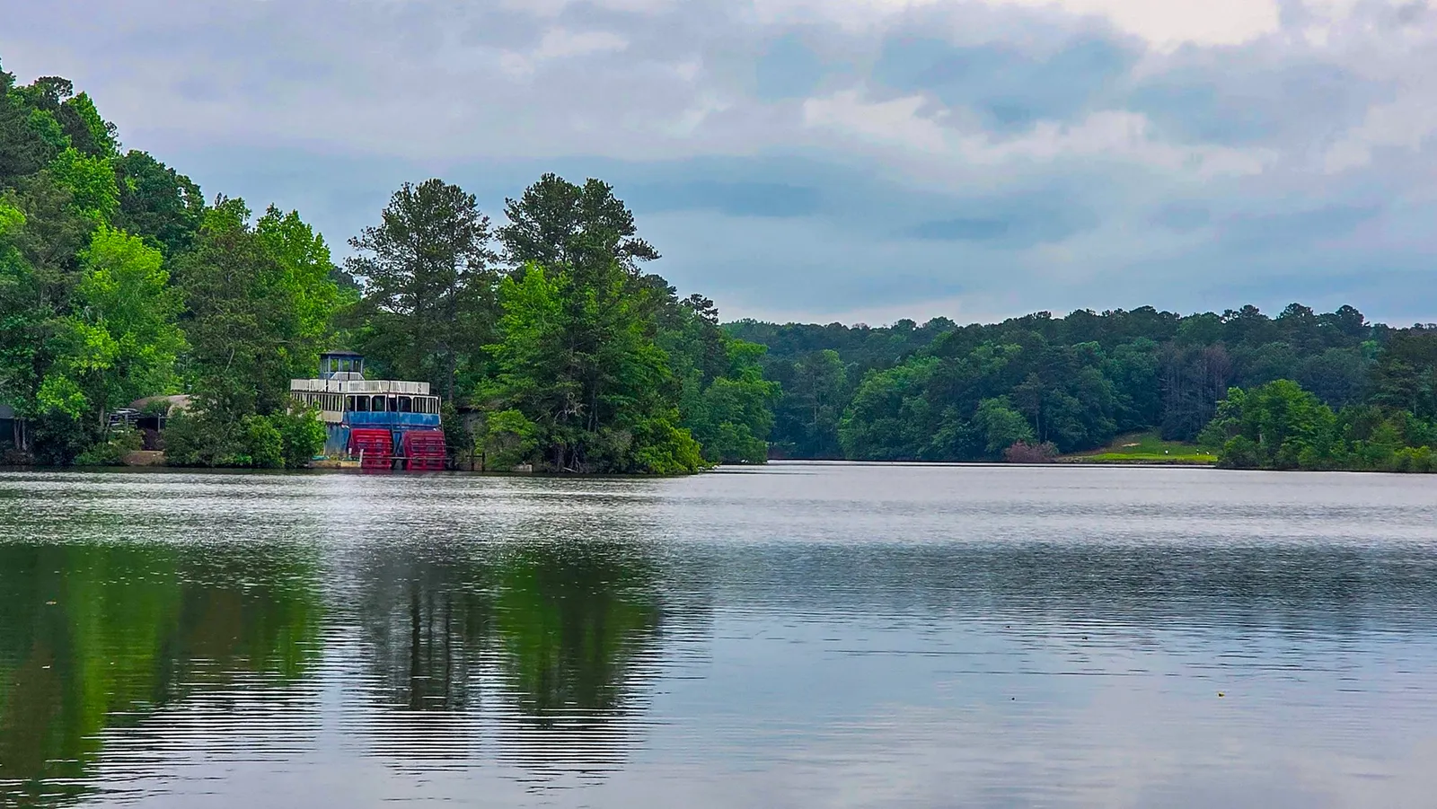
May 17, 2025, 7:31 AM. The old riverboat still at its dock across the water, from the north end of the island. It is gone now; the memorial post tells
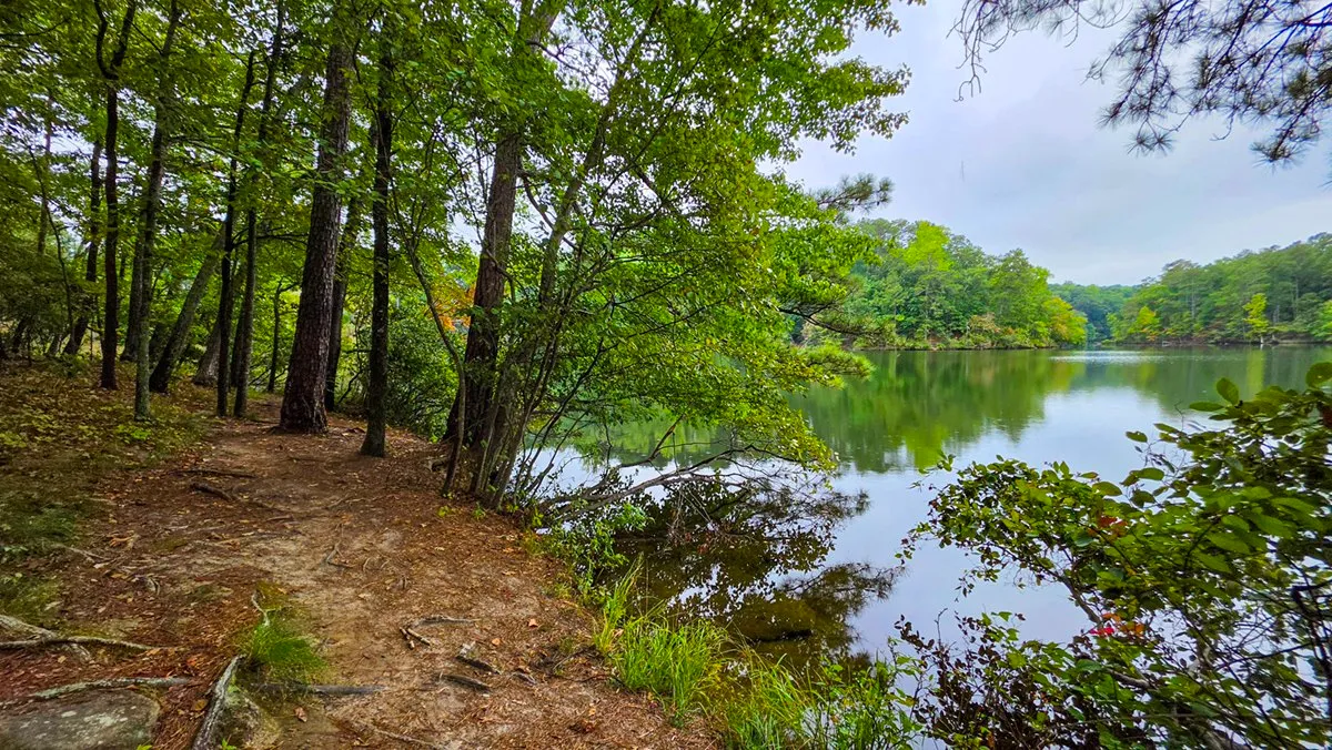
October 2, 2026, 10:20 AM, mile 0.3. The lake from the shore path.
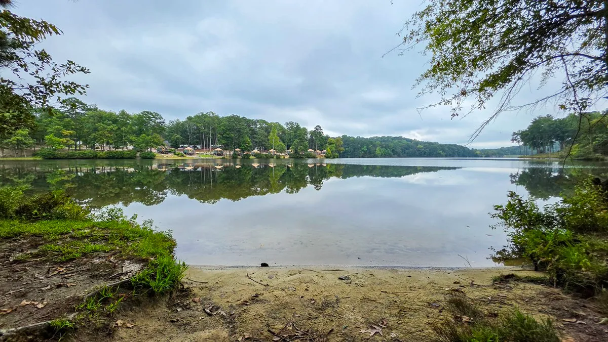
October 2, 2026, 10:27 AM, mile 0.5. A small sandy beach on the shore path.
Virtual Tour
Indian Island in 3D
Indian Island in three dimensions: turn it, tilt it, zoom in, or follow the route along the ground.
146 KB on a computer, 51 KB on a phone. Needs WebGL2 and a script; nothing loads until the tap.
Click the terrain, then scroll to zoom
In the Log
By the Numbers
A lap is one full turn around Indian Island along its shore, found in every recording on Cherokee Trail, Stone Mountain at build: the watch has to go all the way round within 15 m of the mapped shoreline without leaving the island for more than half a minute. "On the move" counts the time walked at 1 km/h or faster, so standing still for a sunrise does not count; "clock to clock" keeps the stops. Most laps sit inside a longer morning, so these are laps of my own walks rather than a timed route.
From the Island
The Best Mornings Here
The 10 highest color index photographs taken on Indian Island, out of 52 photographed mornings. Each tile links to its morning, and the Indian Island page has every frame and the sunrise record month by month.
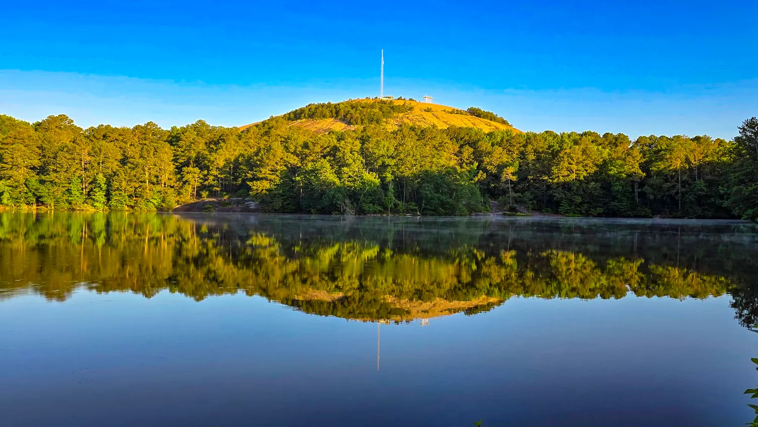 Jun 8, 2024 color index 73.8
 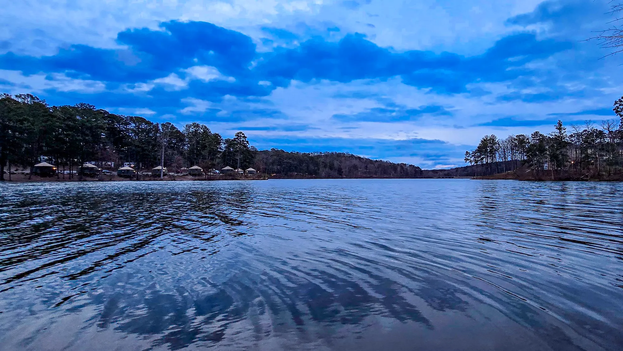 Feb 17, 2024 color index 64.9
 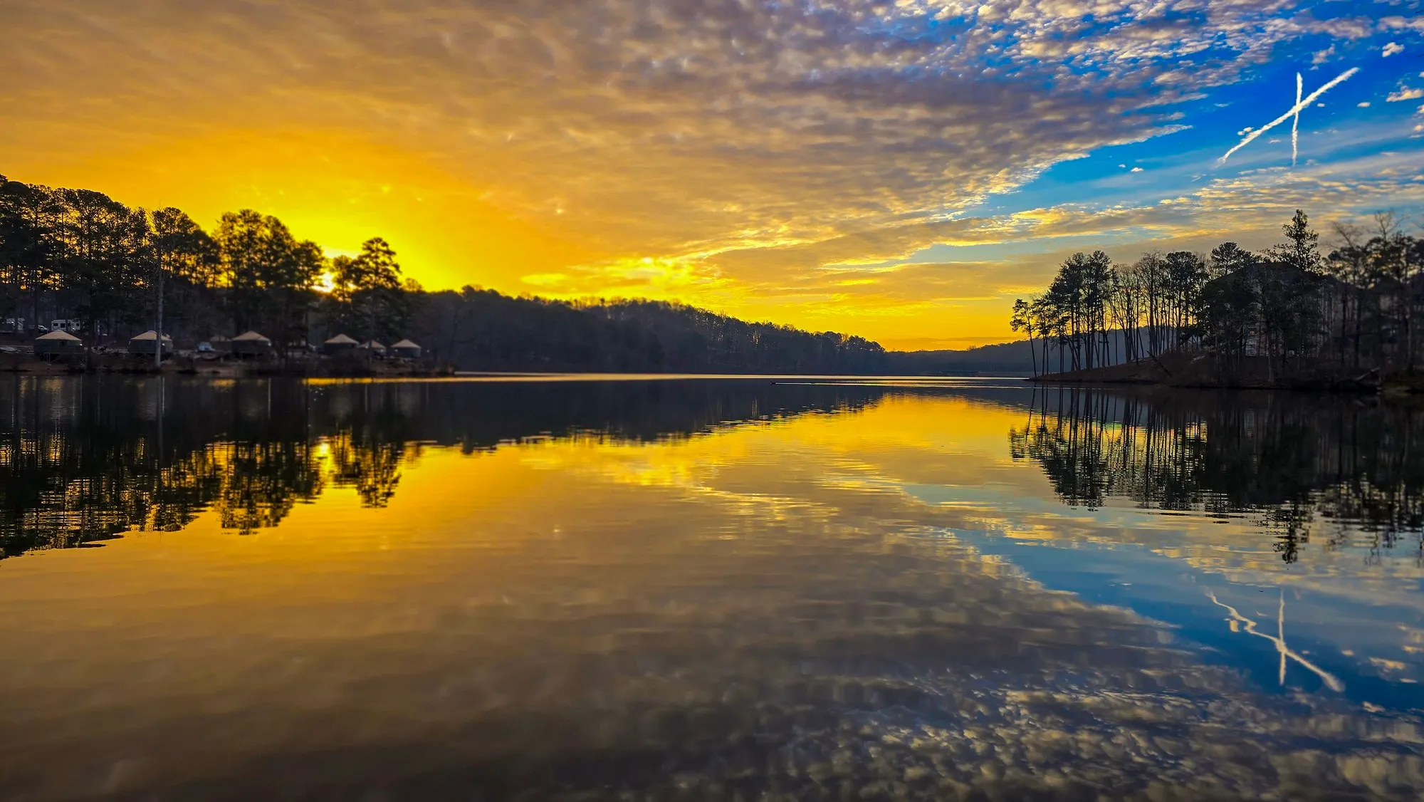 Feb 10, 2024 color index 49.1
 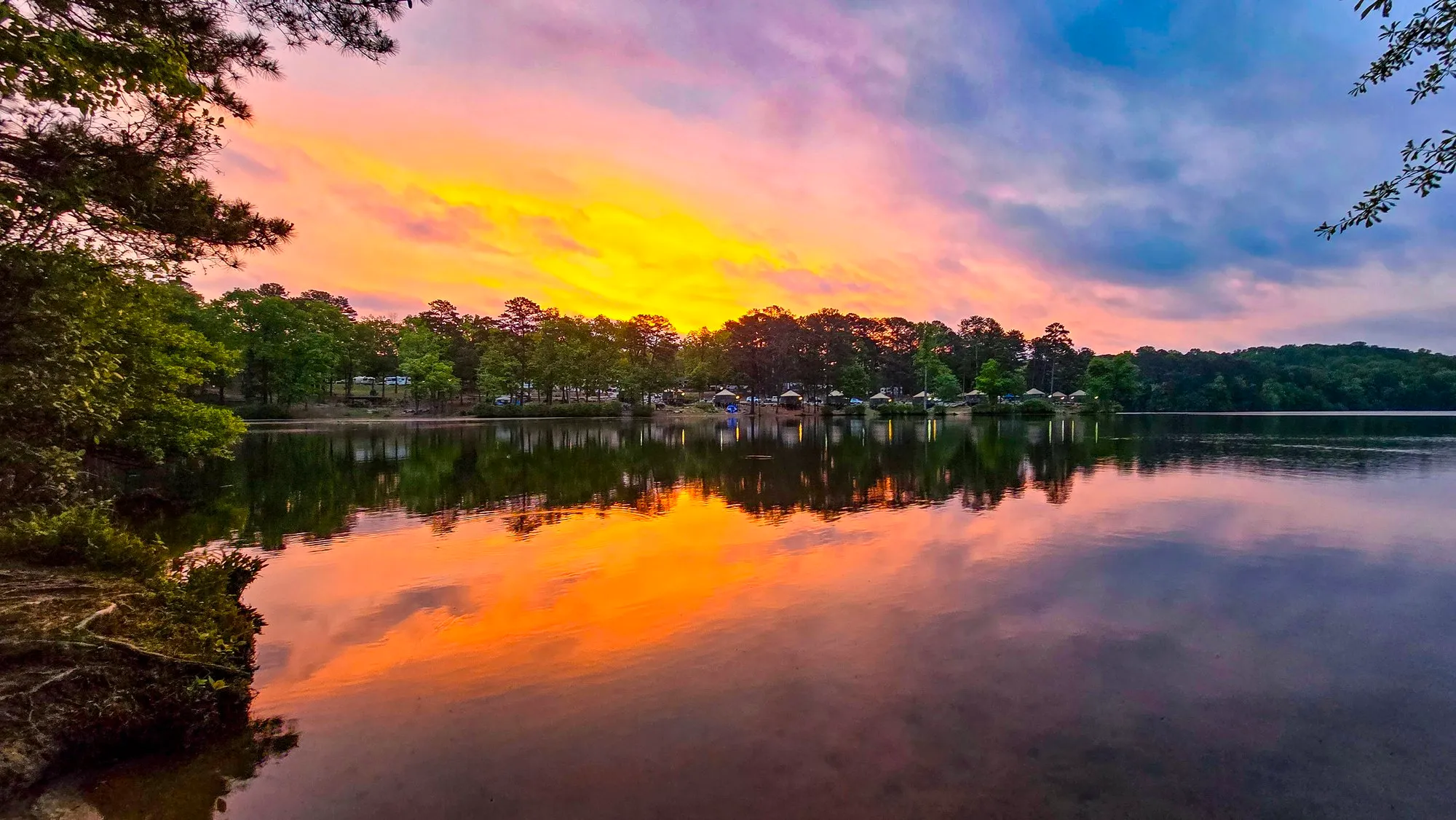 Apr 27, 2024 color index 48.6
 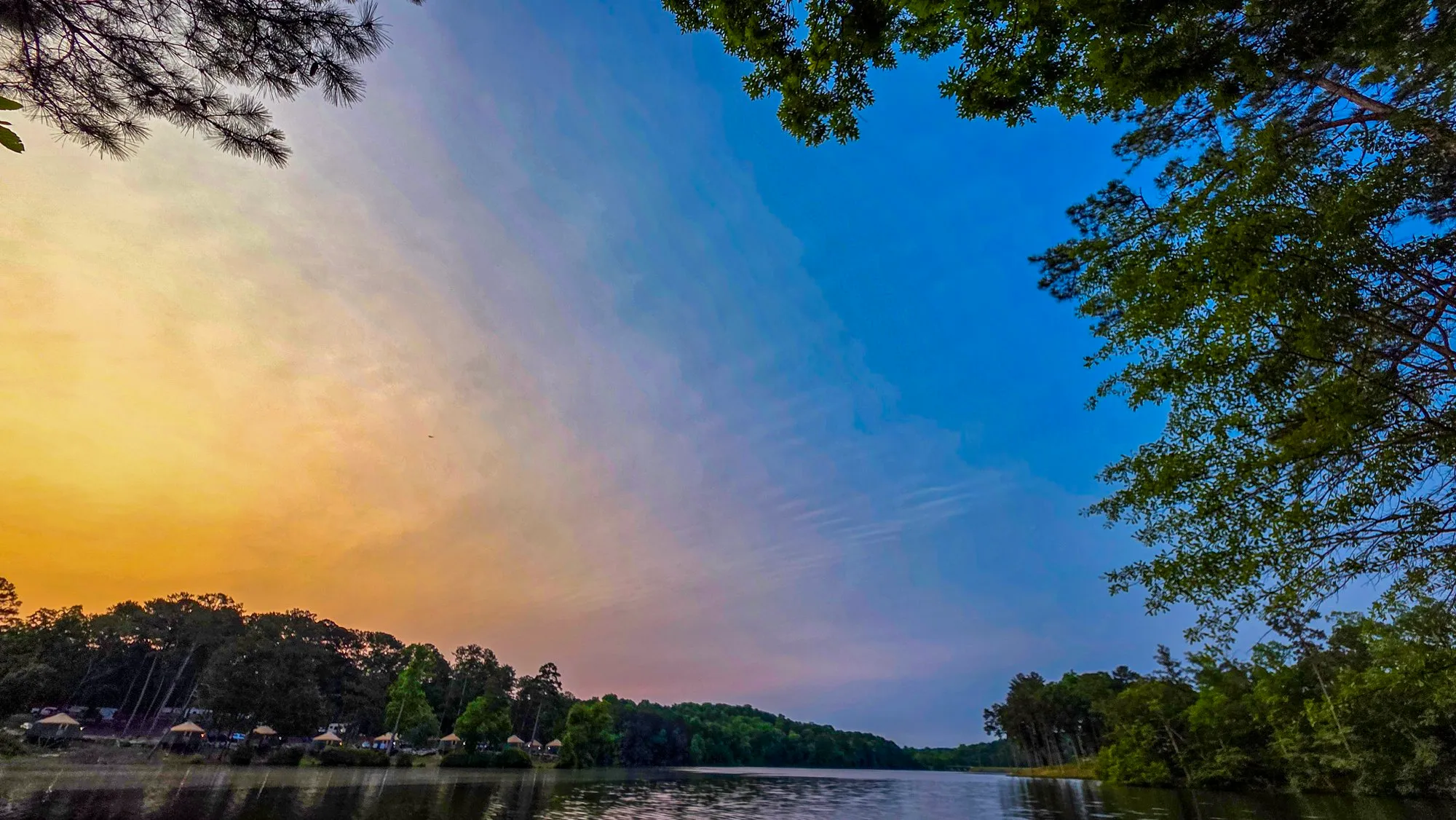 May 31, 2025 color index 46.1
 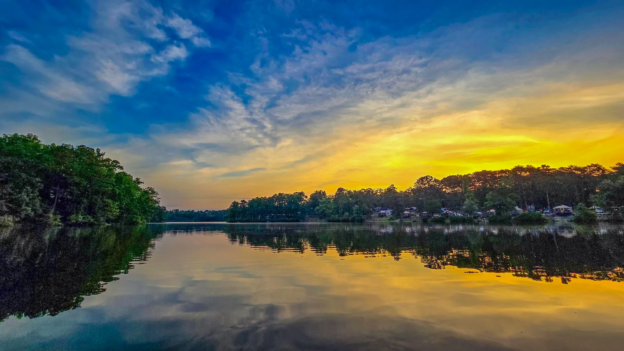 Jun 9, 2024 color index 45.5
 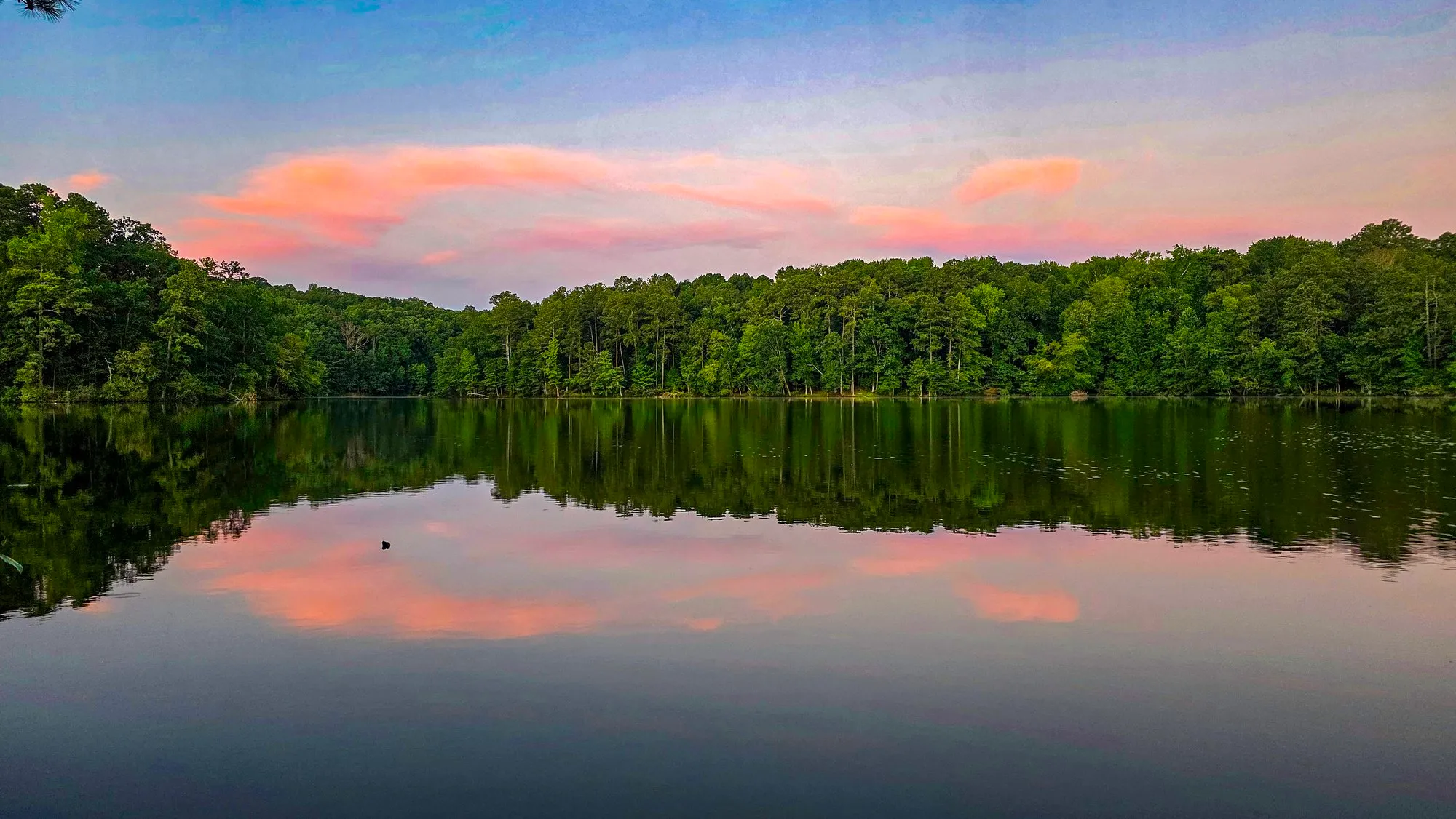 Jul 26, 2025 color index 44
 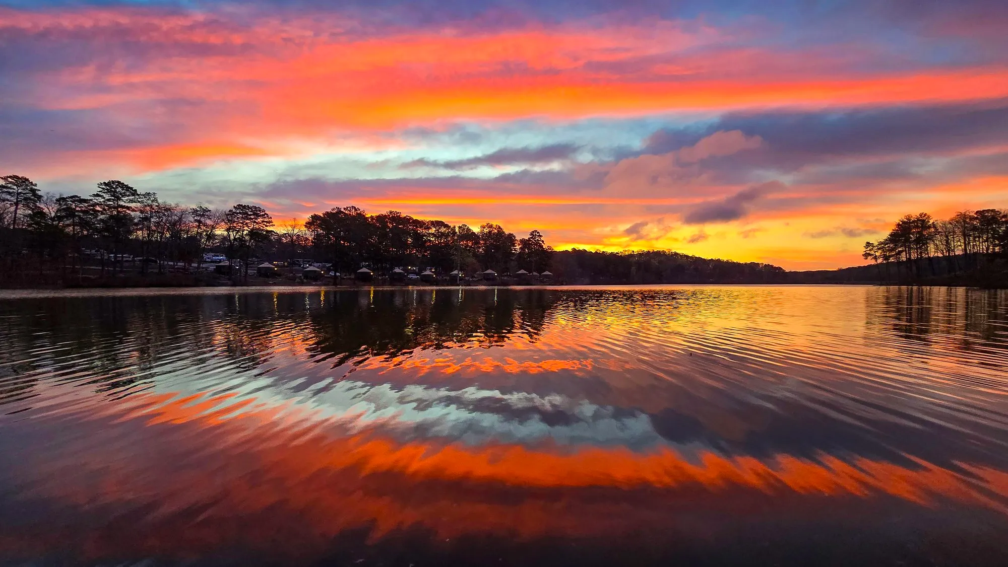 Mar 16, 2024 color index 41.8
 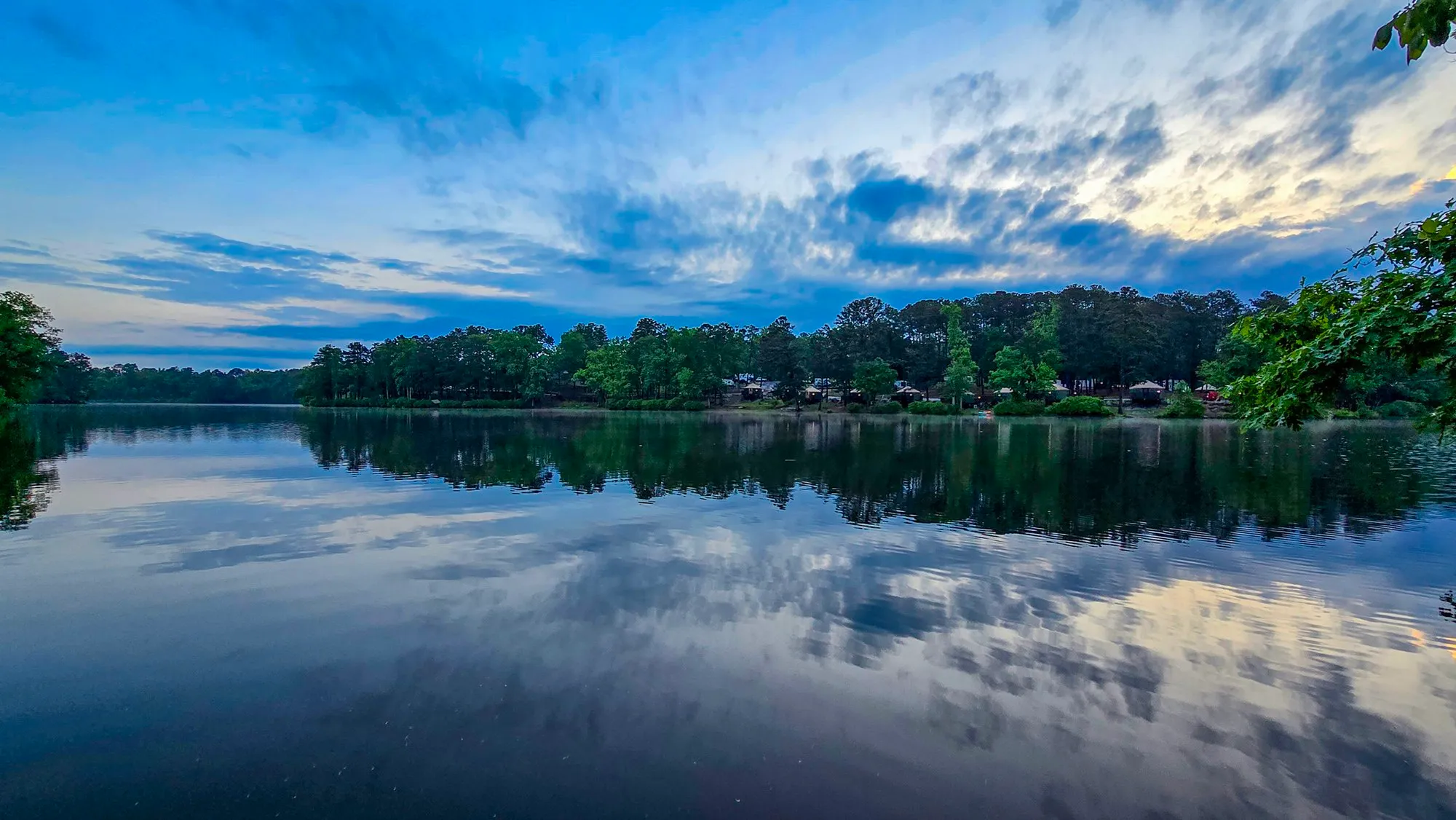 May 5, 2024 color index 41.6
 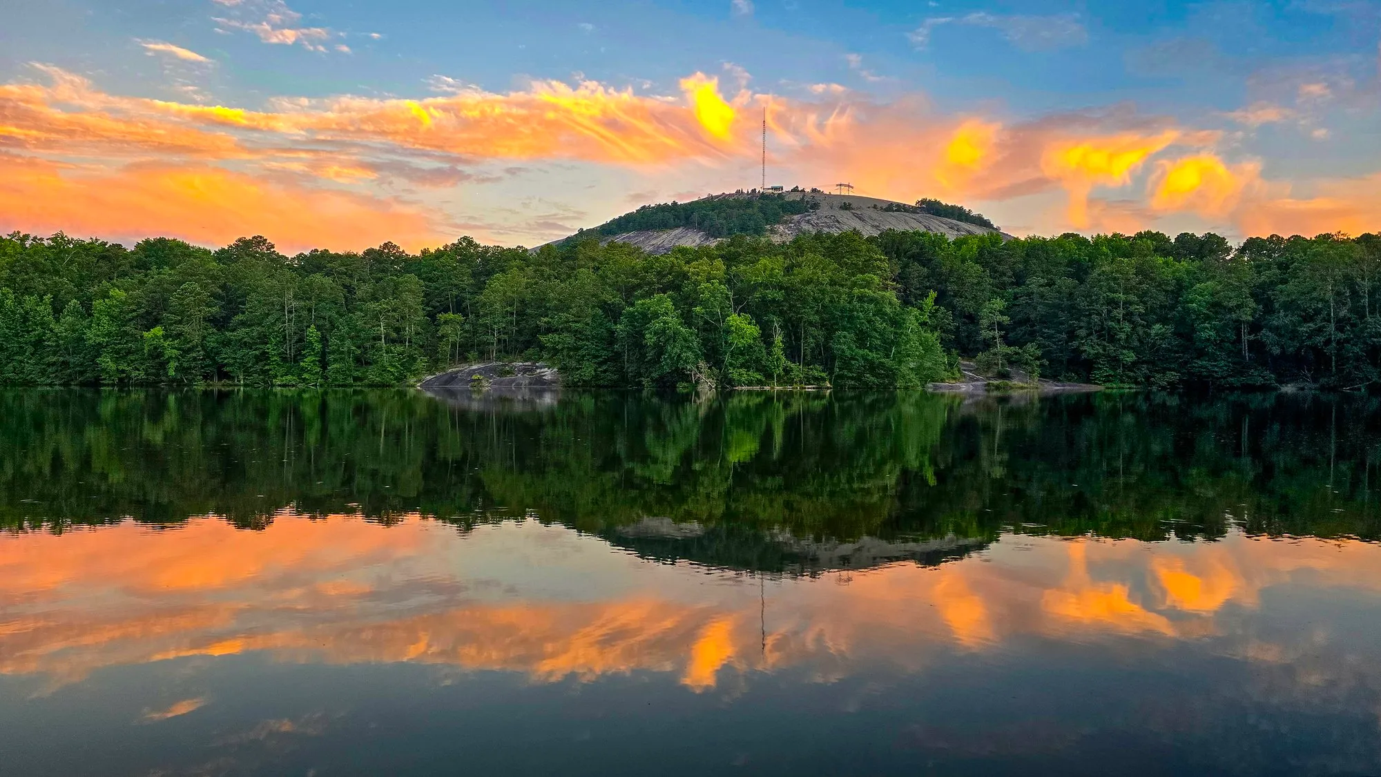 Jun 22, 2024 color index 41.3
 On the Island
Seen Here
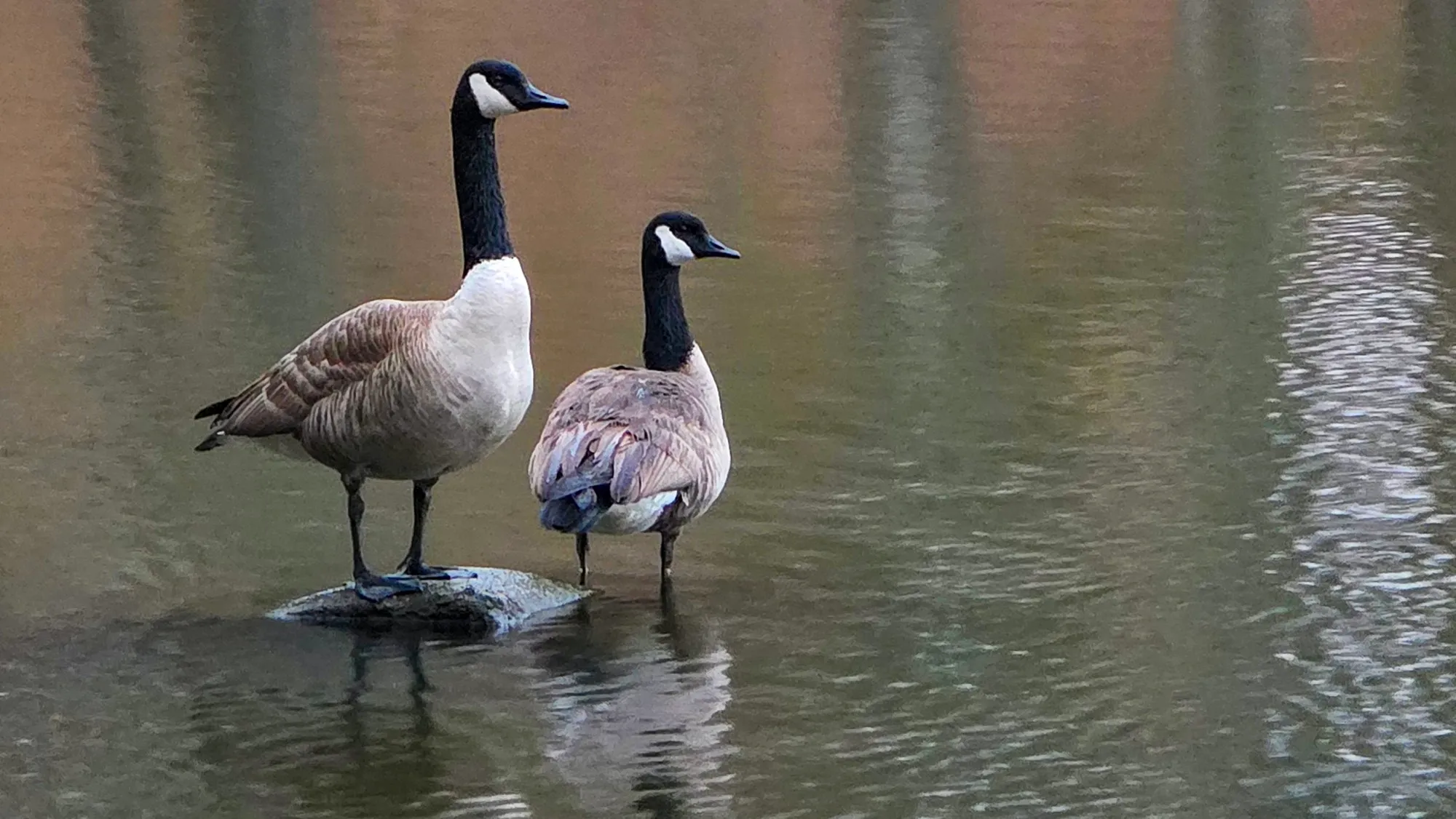
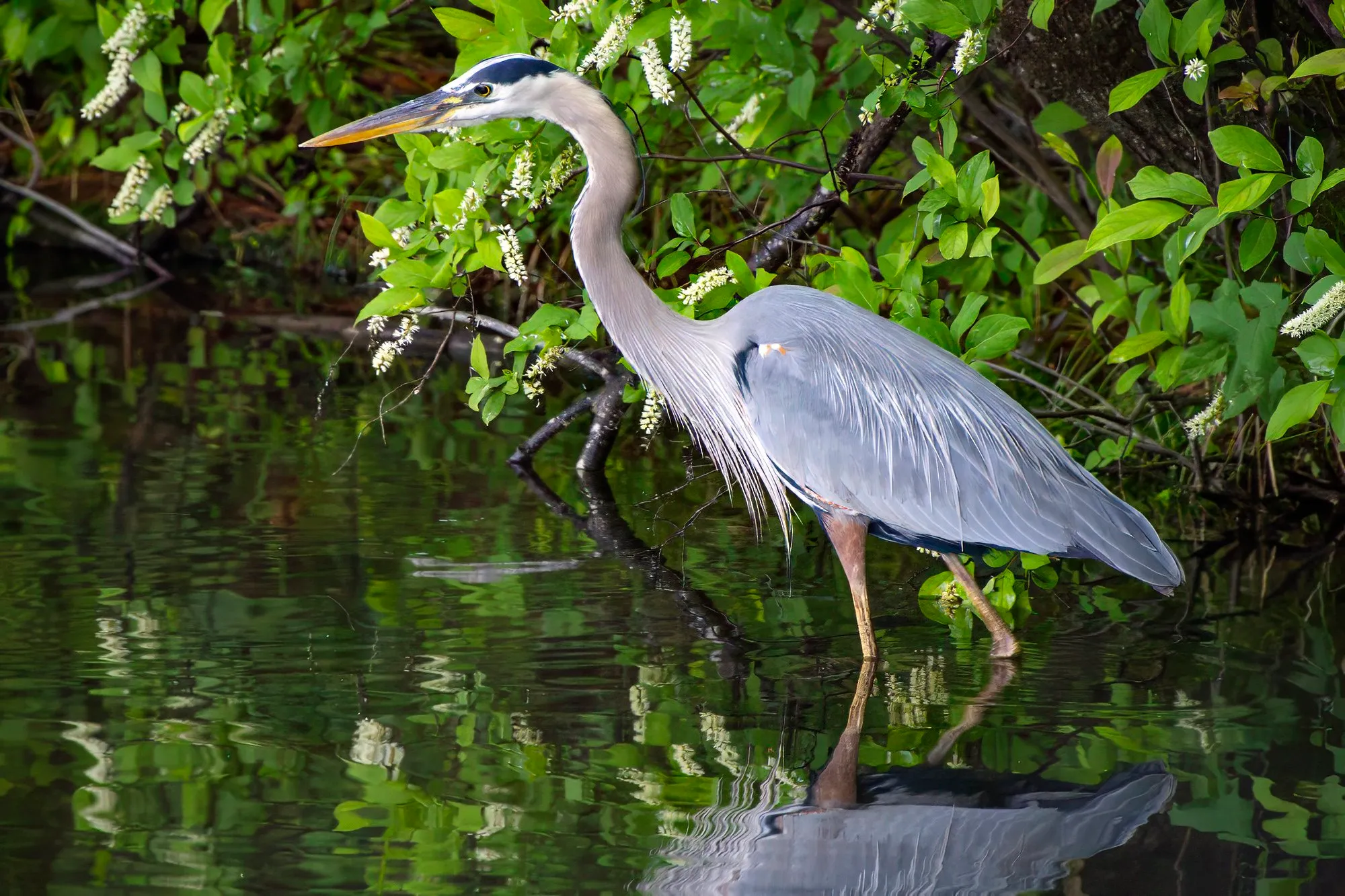
Every animal and flower I have photographed on Indian Island, by the photograph's own position or where I placed it by hand, most photographed first. A species the log keeps private is left out.
Asked Often
Questions and Answers
How long is the Indian Island trail?
One lap of the shore path is 0.89 miles, the median of the 47 full laps my watch recorded, about 19 minutes of walking or 21 with stops.
How much climbing is there?
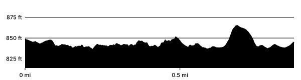
Very little around the shore: 29 feet between the lowest and highest points of a lap. The island's high point is 43 feet above the lake.
Where do you park for Indian Island?
On the island, just across the covered bridge: 21 spaces, 2 of them accessible, and 3 more just past the covered bridge, on the mainland side. Overflow: the four Grist Mill lots, close to 100 spaces by my estimate.
Is the Indian Island trail marked?
Yes. There are yellow blazes on trees along the shore path, where the Cherokee Trail's are white and the Nature Garden Trail's green. It is an island, so keep walking and you come back to the lot.
Are there restrooms on Indian Island?
Not on the island. There is usually a portable toilet just across the covered bridge, and permanent restrooms by the Grist Mill, up the hill on the mainland side.
Is the trail hard?
Mostly easy, but parts of the shore path are narrow and right on the water, with a lot of roots. Watch your step there, especially if you run it.
Can I bring my dog?
Yes, on a leash of 6 feet or less. The park allows dogs everywhere except the Songbird Habitat trails, the attractions and posted areas, and the loop is short enough for a dog that can't do a long hike.
Can I ride a bike on King's Trail?
No. Bikes stay on the park's paved roads, and the loop road around the mountain has bike lanes.
Before You Go
A Word on the Rules
Bikes stay on the paved roads. That is the park's rule, and for good reason. Roots turn a wheel in an instant, tires rut a trail this soft, and the loop road already has bike lanes and one-way car traffic.
Dogs are welcome on a leash of 6 feet or less. They are not allowed on the Songbird Habitat trails, at the attractions or in posted areas.
How This Page Was Made
The Record
The words, the parking count and the lists are mine. The numbers are not typed: the laps, their lengths and their times are counted at every build over each morning the watch recorded on Cherokee Trail, Stone Mountain, so they move as the log grows. The map and the profile are one of those laps, cut from its recording; the elevation comes from the USGS grid, not the watch. The photographs are placed on the island by their own GPS, by the watch's track at the moment they were taken, or by hand where I said where I stood, as the methods page describes.
Sources
- Hiking Trails, Stone Mountain Park (the park's name for the trail, King's Trail at Indian Island)
- Rules, Stone Mountain Park (dogs and bicycles)
- Covered Bridge, Stone Mountain Park (built in 1891 in Athens by Washington W. King, moved to the park in 1965, named for him in 2019)
- Washington W. King Covered Bridge, Stone Mountain Memorial Association, Education Center (King's Trail named in his honor; this page gives 1961 for the move, the park's own page 1965)
- Indian Island, way 30044699, OpenStreetMap contributors (the shoreline, under the Open Database License)
- 3D Elevation Program, U.S. Geological Survey (the elevation grid under the map and the profile)