
The sun sweep registered this spot's photographs to a reference view but its calibration has not passed the sanity gate (too few detections agree with the strip's geometry), so no sunrise bearings are drawn here. The sweep page shows the spot that passed; the methods page says what the gate asks.
118 mornings here since August 17, 2024, the latest Oct 11, 2026. 33 of them photographed from this spot. 67 percent clear at sunrise: 79 of the 118 with a cloud reading had low and mid cloud at or under 30 percent.
From This Spot
The Best Mornings Here
The 10 highest color index photographs taken from this spot, out of 33 photographed mornings. Each tile links to its morning.
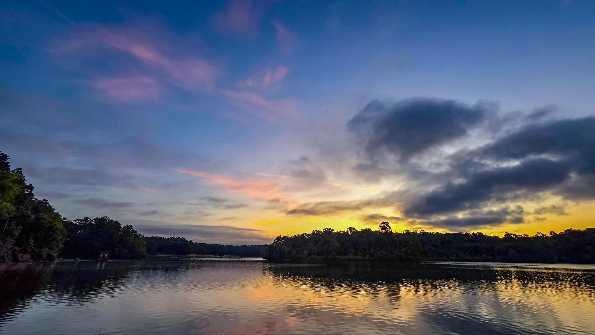 Jul 19, 2025 color index 50.9
 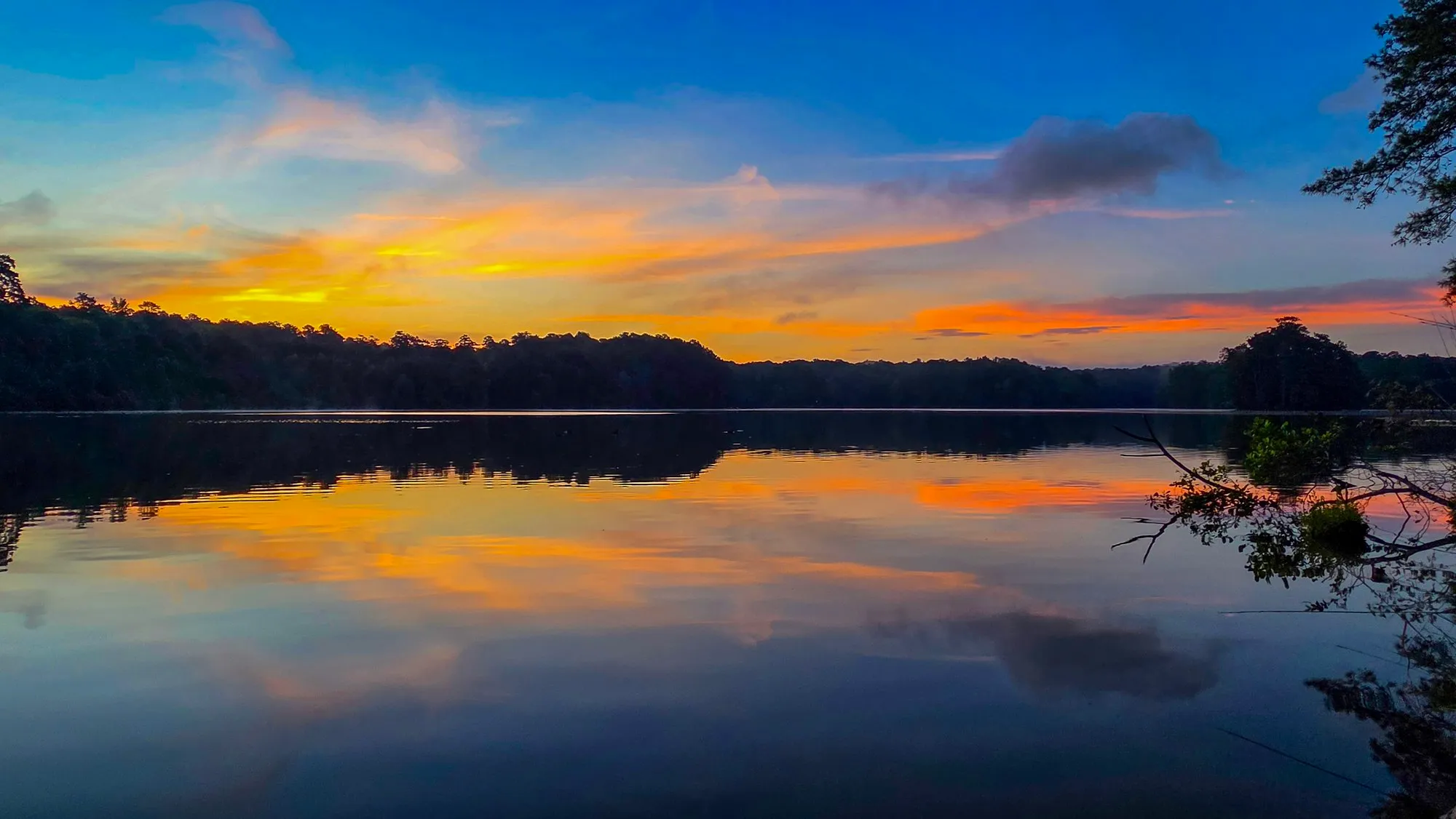 Jul 18, 2026 color index 49.3
 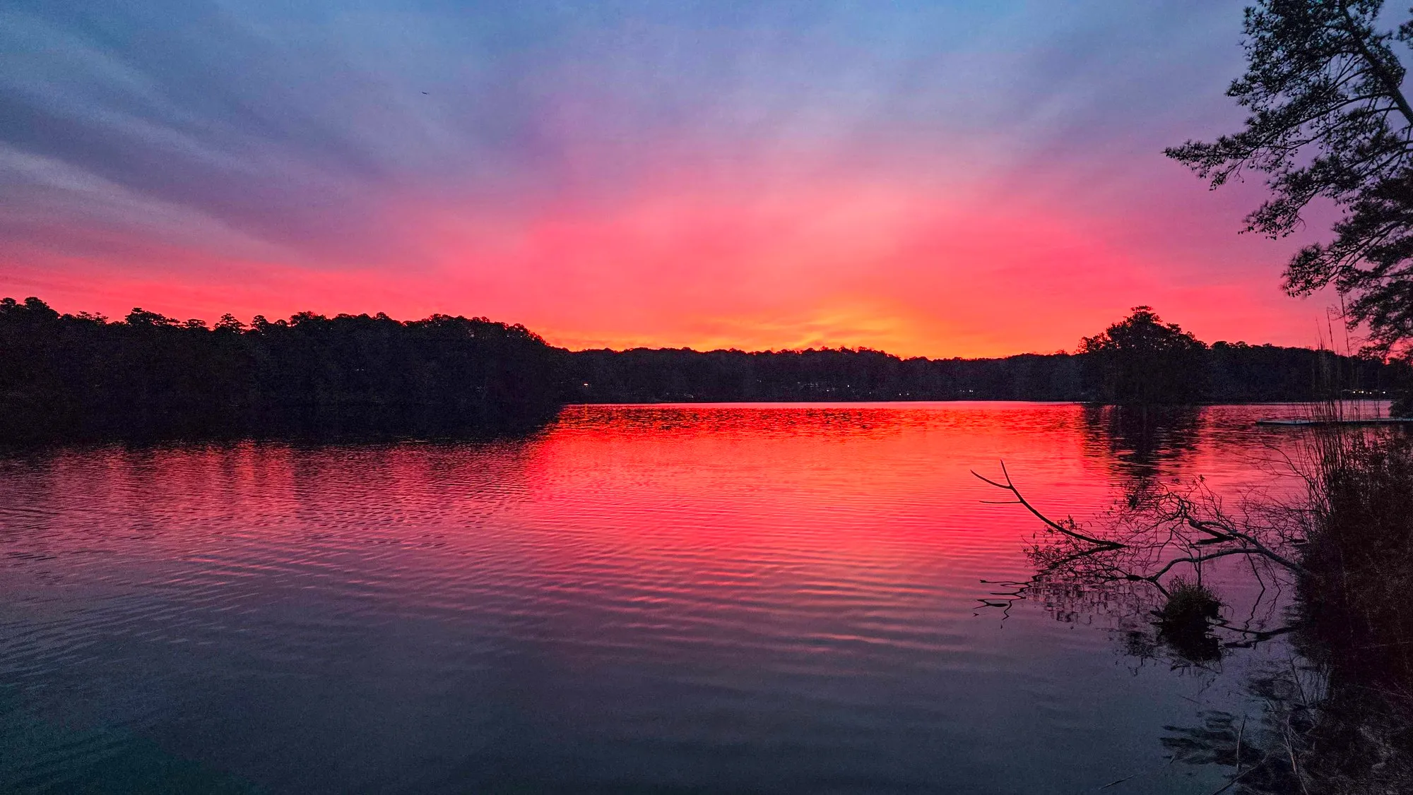 Jan 2, 2026 color index 45.9
 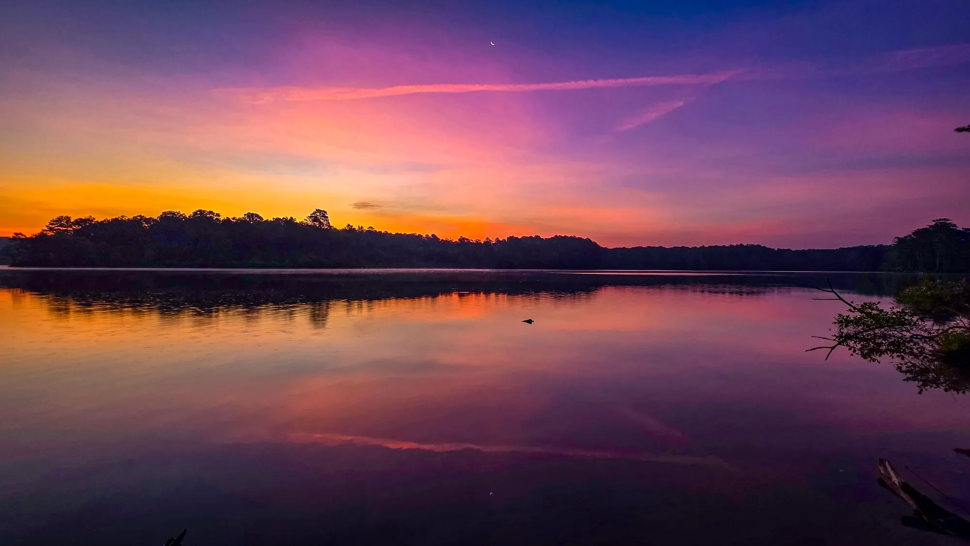 Jun 22, 2025 color index 44.9
 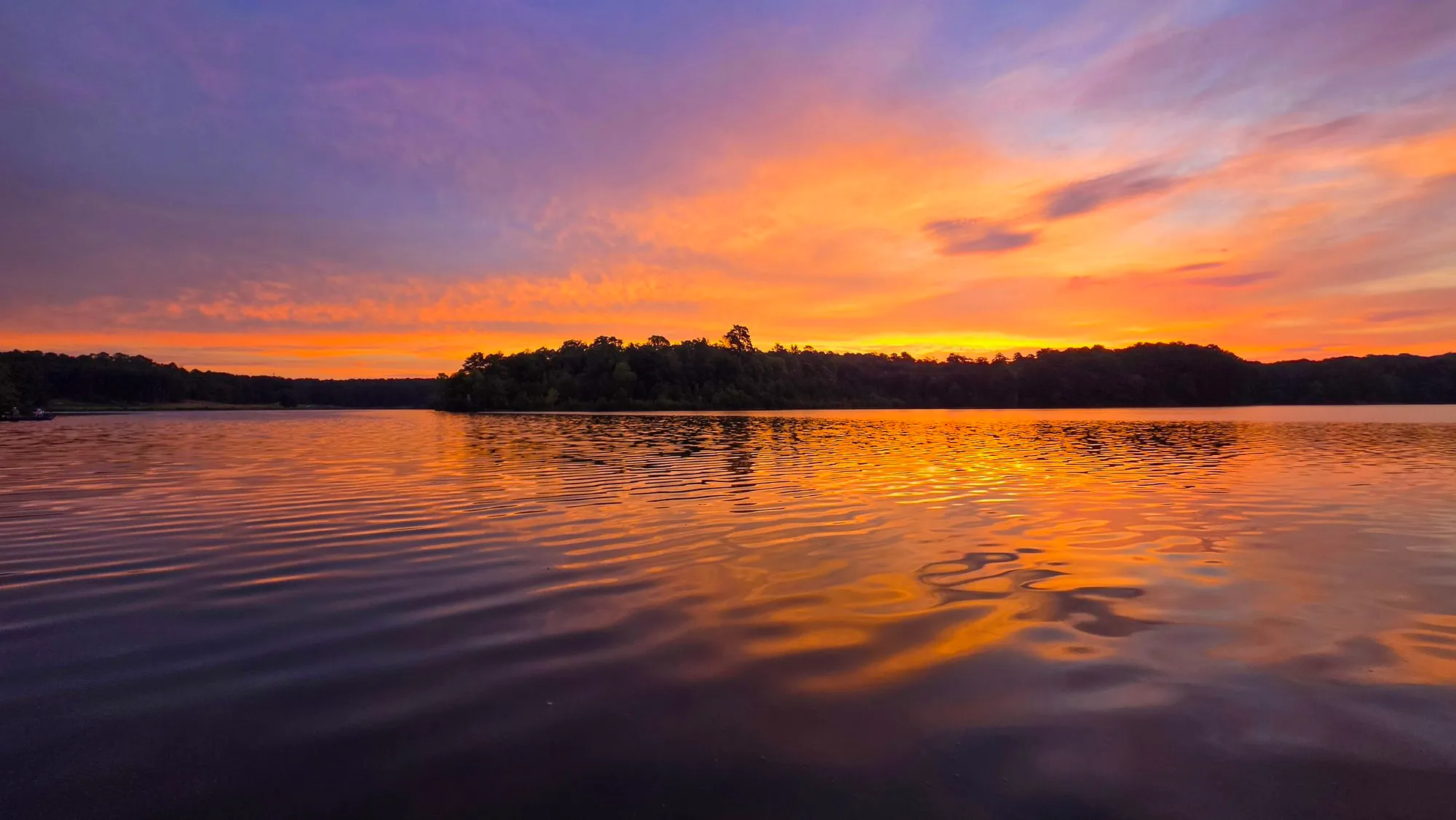 Sep 6, 2026 color index 44.2
 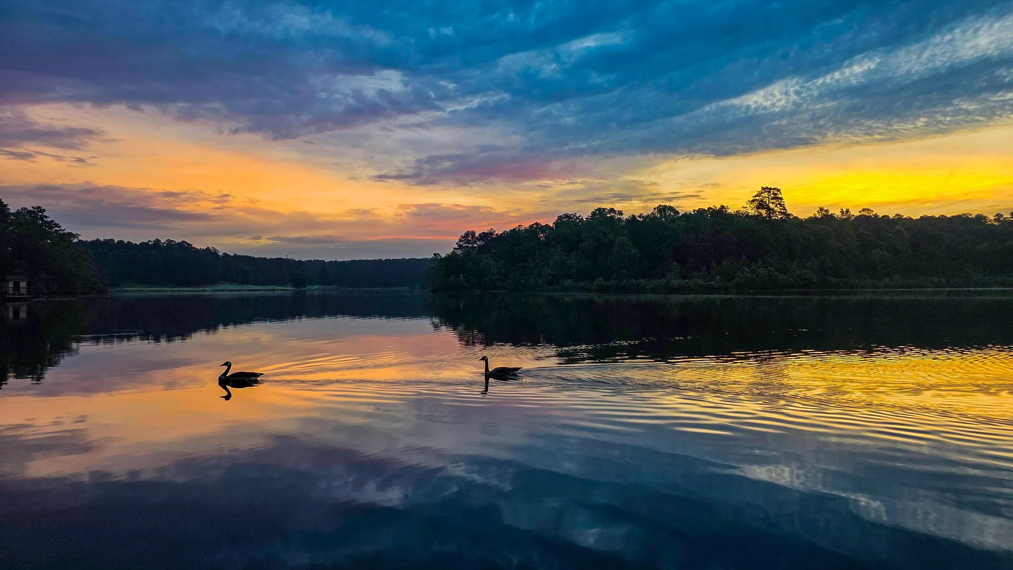 May 18, 2025 color index 42.2
 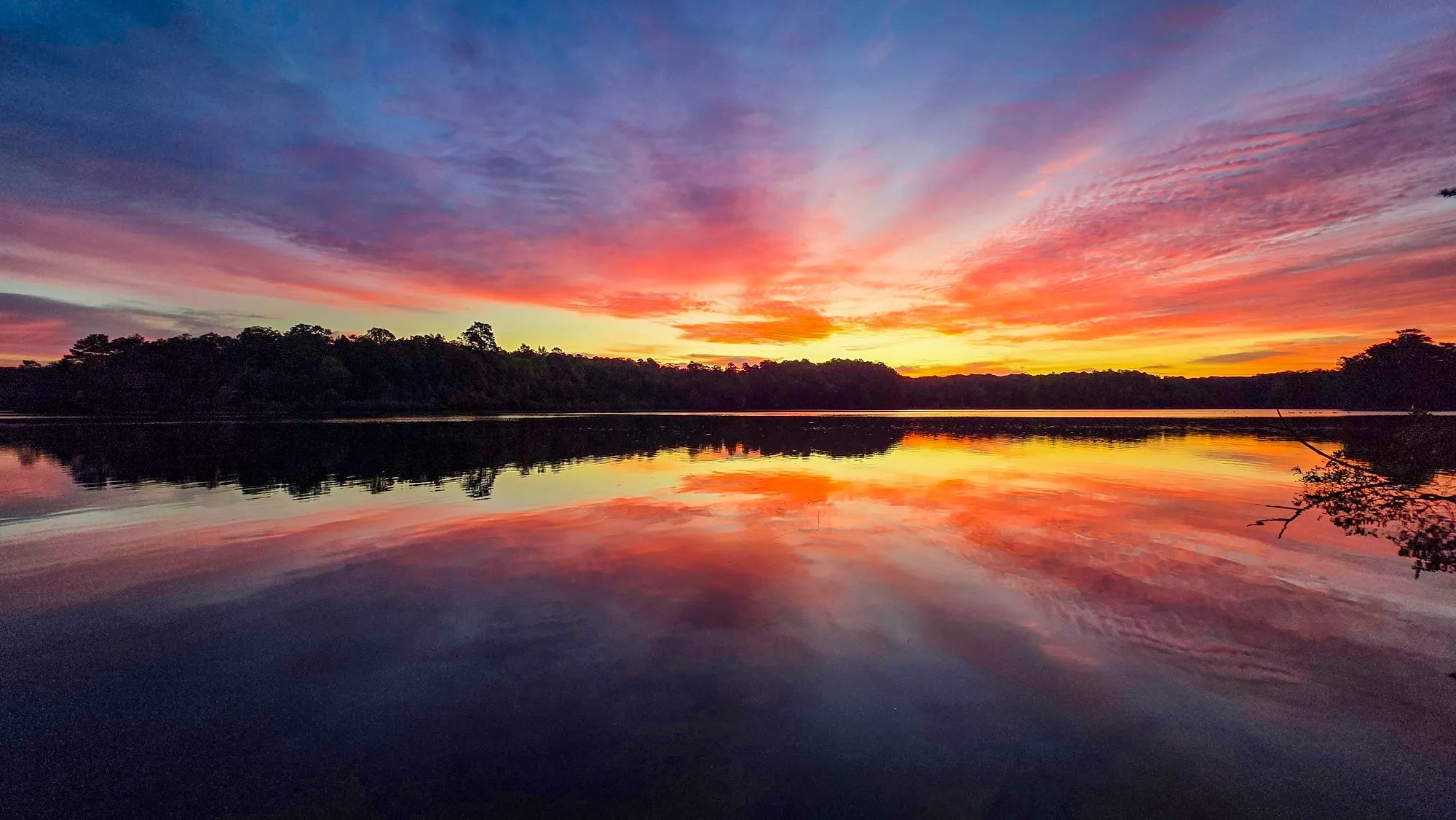 Oct 4, 2025 color index 40.1
 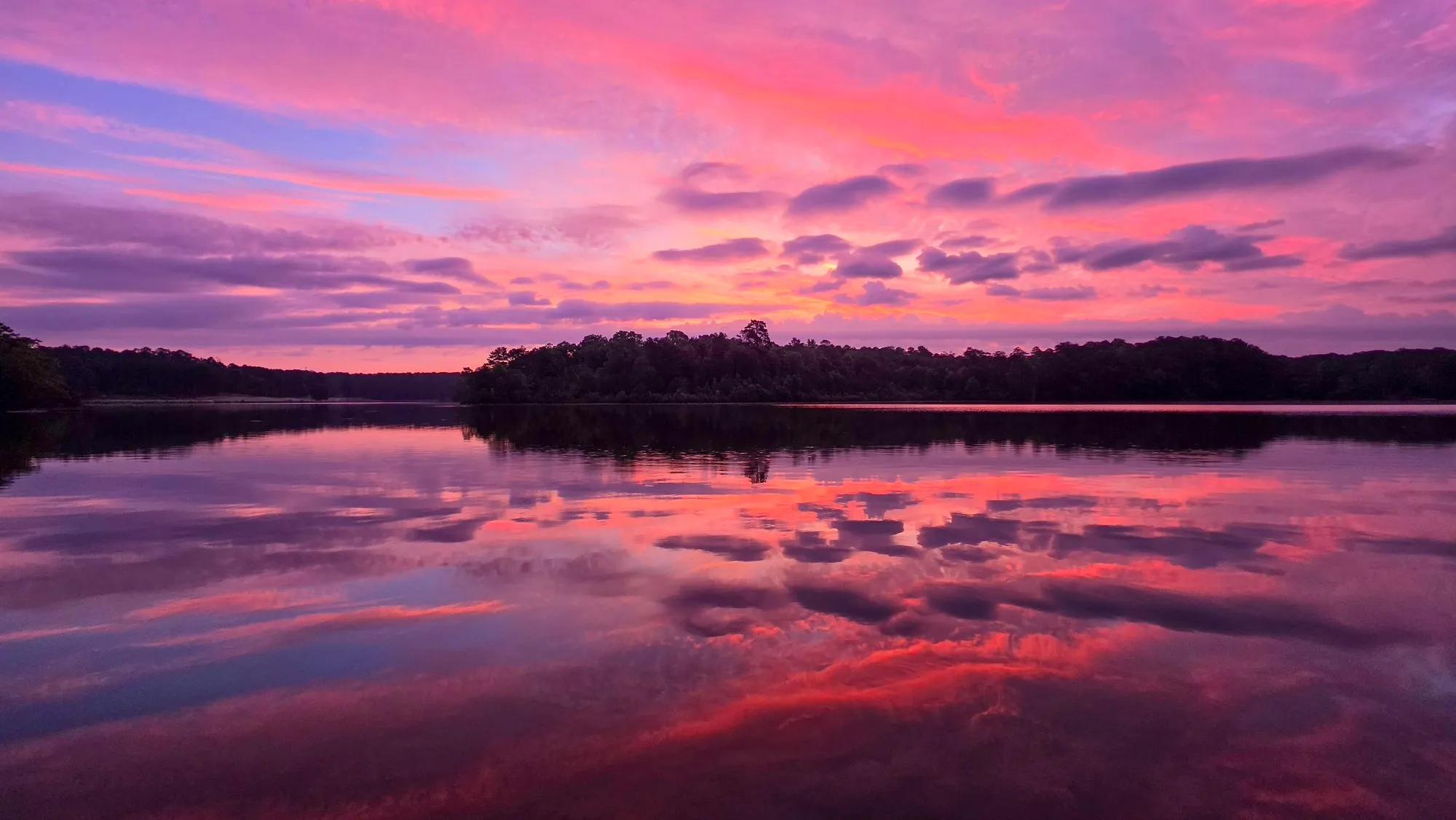 May 29, 2026 color index 39.9
 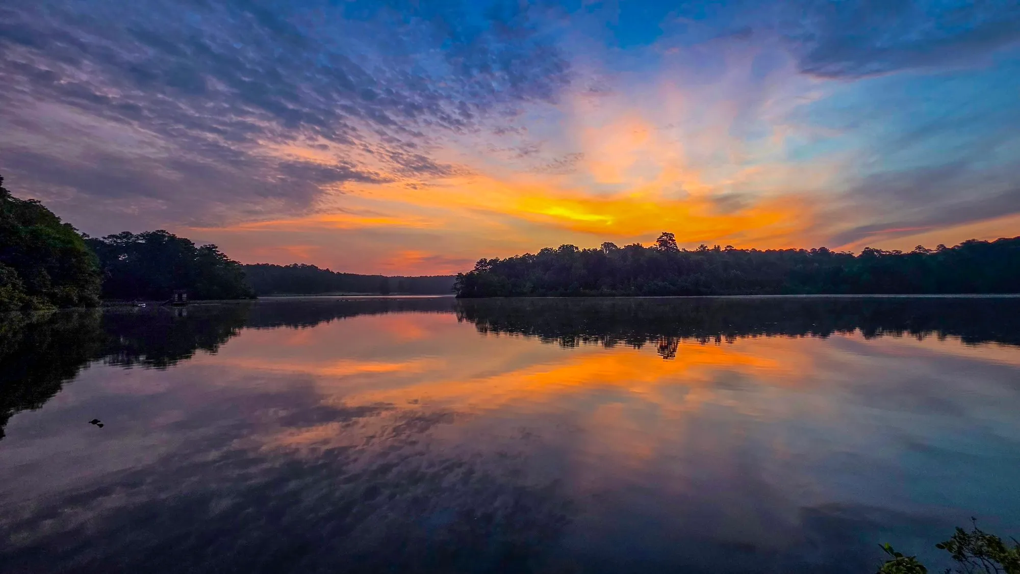 Jul 4, 2026 color index 39.5
 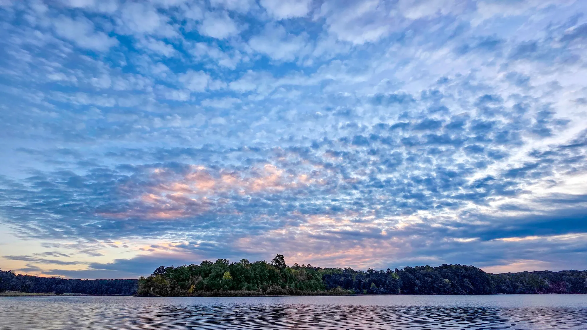 Oct 12, 2025 color index 39.1
 Color Index
Month by Month
Every photographed morning from this spot in its calendar month, pooled across years, with the count under each month. A month with at least 5 photographed mornings gets a bar from its lowest to its highest and a tick at the median; a thinner month shows its dots and no median.
Median color index, highest first: July at 39.5 (5 mornings), May at 37.3 (5), September at 34.2 (5), October at 25.9 (6).
Timing
Getting Here for Sunrise
Measured from the recorded tracks, not guessed: the first trackpoint within 100 m of this spot, set against the first point of the track and that morning's sunrise, over 118 mornings.
57 of the 118 mornings reached the spot after sunrise.
The open shore of the bay across the water from Indian Island, a few hundred yards east of the Grist Mill, facing east across Stone Mountain Lake. Position is the mean of the watch's track positions at the capture times of the photographs registered here; the watch may sit a few tens of meters off.
Position 33.80815, -84.13371, radius 100 m.
On the Trail
Latest Conditions
As of , from that morning's notes:
- Some stretches of trail flooded, nothing extreme.
- Streams that are normally dry are running, and the Venable Lake outlet is fast.
- A couple of trees down. A big one across Loop Road by the Venable Lake entrance had the area closed off while crews cleared it.
Lines are written from the notes of the morning named, and say nothing the notes do not. A line with a tag is lifted word for word: a line marked noted followed the word "conditions", one marked from the notes was picked out by a keyword. What the notes did not mention is not here, and a morning with no lines is not a report that the trail was clear.
Conditions log
- Some stretches of trail flooded, nothing extreme.
- Streams that are normally dry are running, and the Venable Lake outlet is fast.
- A couple of trees down. A big one across Loop Road by the Venable Lake entrance had the area closed off while crews cleared it.
- A tree that's fallen across the tracks near the carving is still there more than two weeks later, which means the train also hasn't run for those three weeks since the tree first fell.from the notes
- West of the carving, the tree that fell over the trail about two months ago is still there.from the notes
- Past the hike-up trail, there is a lot of overgrown grass on the path, so always make sure you're wearing tick repellent.from the notes
- Water levels seem a little low.from the notes
Elsewhere
Around the Log
This spot is on Cherokee Trail, Stone Mountain. Every sunrise photograph in the log is on the Sunrises wall, and each year's mornings are colored day by day in the almanac.